| 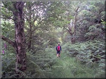
On the edge of school Plantation
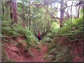
Sunken tarck leading to Hodge Beck crossing
We followed the path for another kilometre to the crossing of Hodge
Beck at map ref. SE 640919. This used to be a pleasant ford and there
were rough stepping stones across Ouse Gill, the watercourse that joins
Hodge Beck here from the north, but both crossings are now uninspiring
railway sleeper bridges for the pheasant shooting. As we climbed the
hill up to Ankness Ridge there were several wood ants' nests in the
woods with hundreds of the centimetre long ants busily dashing about
tidying the pine needles on the nest heaps. |
This morning we drove to the end of Rudland Rigg and parked on a
gravel area off the road at map ref. SE 659926. It was a fine day and
we set off at about 9.45 to walk back down the road for about a kilometre
to turn right onto a farm road at Hope Inn Farm. We followed the footpath
past Common House farm and through the woods, down the fields to Penny
Holme at map ref. SE 647911. Just beyond Penny Holme we stopped to watch
a mother pheasant and a brood of around a dozen tiny stripped chicks
scuttle across the track in front of us.
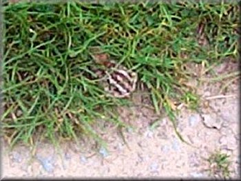
Pheasant chick beside the track
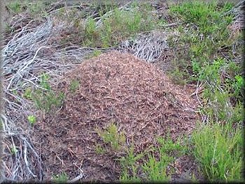
Wood ants' nest on Ankness Ridge
|
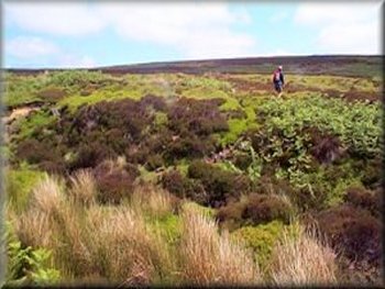
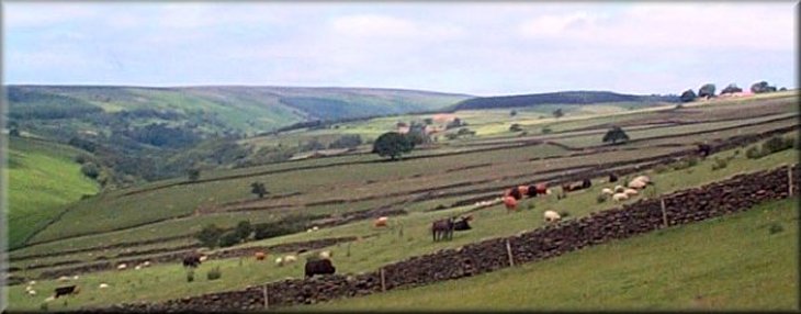
Crossing the valley of Ouse Gill towards Rudland Rigg
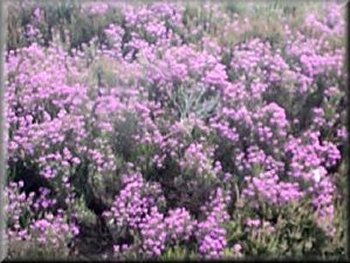
Bell heather in full bloom in late June
Once on Rudland Rigg we followed the stoney track for 4.5km back to
our start. The bell heather is in full bloom beside the track but the
main show, the ling heather will not be in flower for at least another
month. The whole route was about 14km and took us four and a half hours
to walk including our stops. |
We continued along the path through Ankness to the road at map ref.
SE 638944.Our route took us up the road for 1.7km where we turned right
on to a moorland track for about 700m to map ref. SE 635967. Here we
turned right to follow a bridlewayfor a kilometre across a valley and
up to the track on Rudland Rigg, unfortunately the bridleway is not
well defined on the ground and it's fairly rough going through the heather.
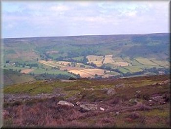
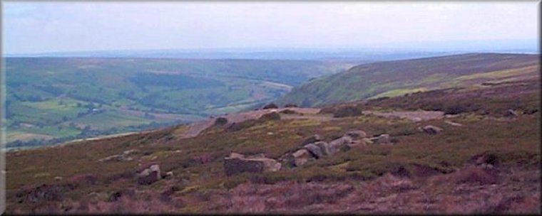
Farndale from Rudland Rigg
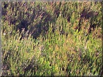
Ling heather will not flower until late August
|