The harbour at Craster |
This
weekend we are having our usual long weekend break with
two of my wife's sisters and their husbands. This year
we have rented a cottage in Beadnell village on the Northumberland
coast. As usual on the Saturday, the three wives are going
sightseeing and shopping leaving the three husbands free
to have a walk on this lovely part of coast. My wife agreed
to drive the three of us down the coast to Craster and
the plan was to walk back to Beadnell, about 10km.
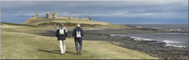
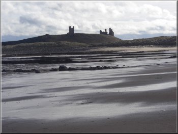
Approaching Dunstanburgh Castle from Craster
|
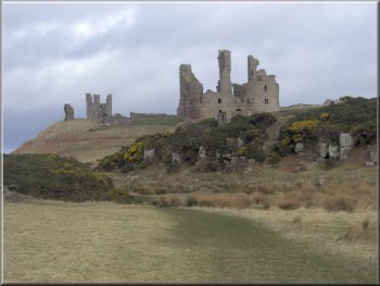
Dunstanburgh Castle
Just beyond the castle we saw an unusual rock formation
at the edge of the sea with clear horizontal bedding planes
pinched into a pointed fold. It's hard to imagine the
huge natural forces at work that produced it.
|
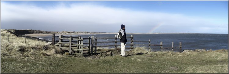
The weather was fine and bright with a strong wind blowing
lots of dark shower clouds across the sky. My wife drove
back to Beadnell and we set off from Craster harbour along
the coast path to Dunstanburgh Castle about 2.5km away.
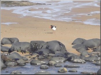
Oyster Catcher feeding on the beach in Embleton Bay
|
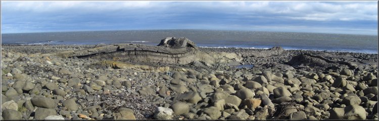
Folded rock formation near Dunstanburgh Castle |
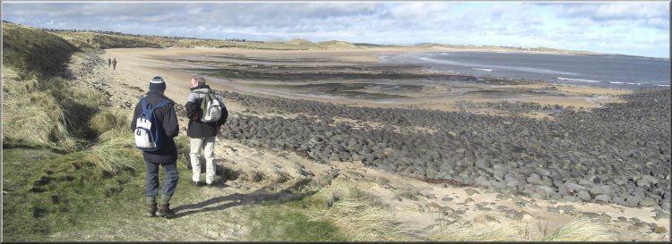
Heading north into Embleton Bay |
Looking back to Dunstanburgh Castle
Along the way we saw various wading birds picking a living
from the edge of the water, including an oystercatcher,
some sanderlings, a redshank, and several that I could
not identify.
|
We
continued around the bay to Low Newton-by-the-Sea, where
there is a little square of low houses facing the sea with
the Ship Inn at the landward end of the square.
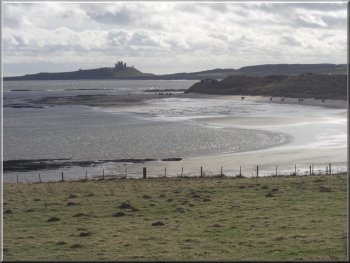
Looking back to
Dunstanburgh Castle
|
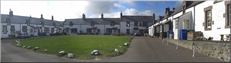
The little square at Low Newton-by-the-Sea |
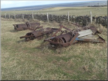
A retired roller
The
clouds were racing across the sky and there seemed to
be a bank of more persistent rain in the western sky.
After our lunch we continued across the headland and into
the southern end of Beadnell Bay.
|
From Low Newton-by-the-Sea we followed a path around the
coastguard lookout point and across the headland. We found
a comfortable spot sheltered from the wind on a low bank
under some gorse bushes to sit for our lunch.
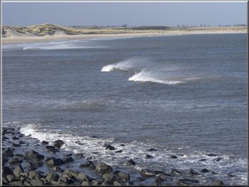
Wind taking the tops off the waves
|
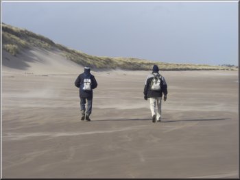
Blown sand whirling across the beach
It takes you past the site of a summer tern nesting colony
(you need strong headgear then against the dive-bombing
attacks), and leads to a footbridge over Brunton Burn.
|
As we walked along the wind was whipping the sand acoss
the beach in violent swirls. It's best to stick to the
path behind the dunes on this first part of the bay.
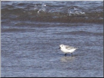
Sanderling by
the water's edge
|
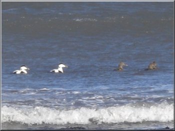
Eider Ducks in Beadnell Bay
Once over the footbridge we decided to abandon the beach
in view of the deteriorating weather, and to stay on the
path behind the dunes and through the caravan park back
into Beadnell. The rain eased off as we reached the village
and made our way back to our cottage.
|
We
were a bit careless and continued along the beach only
to find our way blocked by the burn which is quite a substantial
watercourse. So we made our way along the bank of the
burn to the footbridge, just as a heavy shower hit us
and we were heading directly into the wind, so we were
soaked in a couple of minutes.
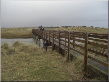
Footbridge over Brunton Burn
|
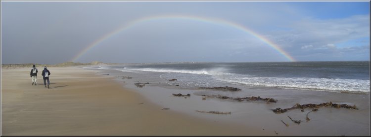
Rainbow over Beadnell and Kelp stems uprooted by the winter
storms |
A car passed us in the village with lots of tooting and
shouted comments. It was our wives who had obviously had
a good day out. The whole route had been about 10km and
had taken us just over four hours to walk including a
couple of stops.
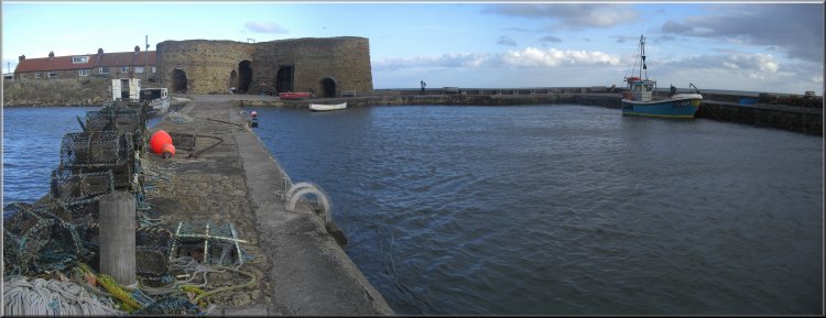
The
Limekilns at Beadnell hrbour
|