| 2001 walks | 2002
walks | 2003 walks | 2004
walks |
| 2005 walks | 2006
walks | 2007 walks | 2008
walks |
| 2009 walks | 2010
walks | 2011 walks | 2012 walks |
| 2013 walks | 2014 walks | 2015 walks | 2016 walks |
| 2017 walks | 2018 walks | 2019 walks |2020 walks |
| 2021 walks | 1993-2000 library | Find a Route Index |
| A few Routes to print out | Request a Route... |
Route No. 301 - Saturday 4 July 2009
Grimwith Reservoir, Skyreholme circuit - 11km
(Extended route around the reservoir - 16km)
Wharfedale, Yorkshire Dales . . . .
Ordnance Survey route map on
the Landranger series map base.
View the route in Google Earth
Map: Ordnance Survey Explorer OL2 Yorkshire Dales Southern & Western
areas at 1:25000
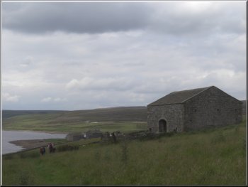
Grimwith Reservoir from the car park |
|
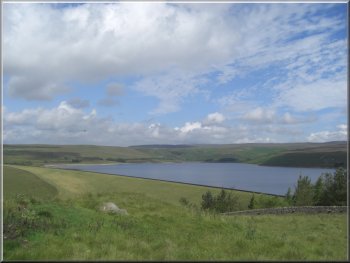
The dam at Grimwith Reservoir
Pete was leading our walk this month but he was delayed by a closure
of the A19 due to a bad traffic accident on his way out of York. However
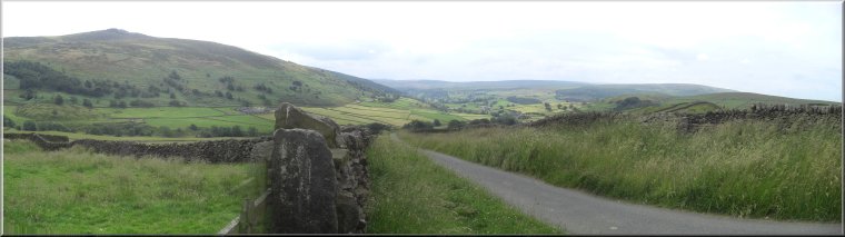
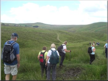
we still managed to set off by 10.45 leaving the car park on a track
(just below the toilet block) heading south to cross the B6265 at map
ref. SE060630.
|
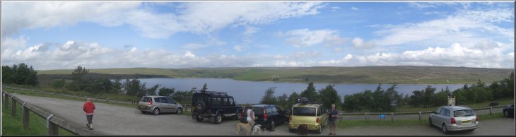
This morning we met a group of friends for our regular monthly walk
together. This time we met at the public car park at Grimwith Reservoir
(map ref. SE064641) between Pateley Bridge and Grassington. The weather
forecast was for another bright sunny day but with the ever-present
risk of a thundery shower.
Crossing the B6265 1km south of the car park
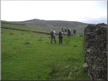
|
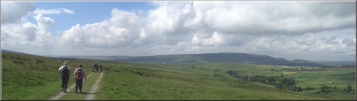
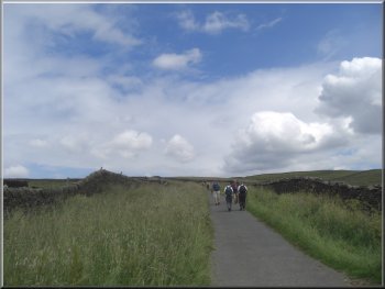
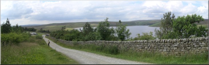
The track from the car park looking across Wharfedale to the hills above
Thorpe |
|
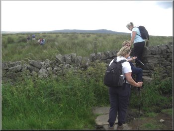
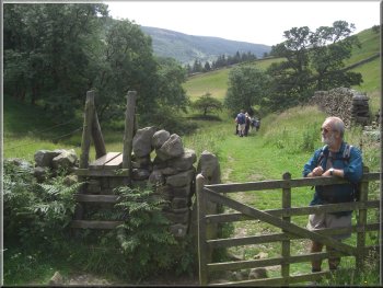
Stile from the road to the path to the disused mine
Path down to the old mine
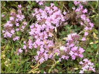
Wild thyme growing in large patches by the path
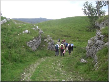
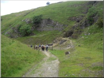
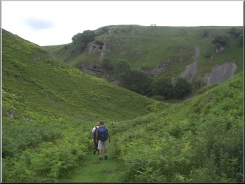
We followed a winding path down the hillside to an old abandoned mine
at map ref. SE066620. From the mine we continued along the path down
to the Skyreholme Beck at the bottom end of Trollers Gill.
|
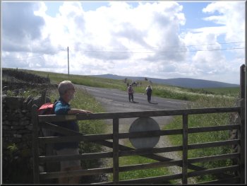
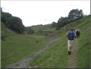
From the road we continued along the track for almost a kilometer to
a bend in a minor road at map ref. SE062621. At the road we turned left
for about 100m and then turned right off the road over a stile.
Path down to the old mine
Path down to the old mine
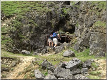
The old mine entrance - very unstable and dangerous
|
Track from the old mine down to Skyreholme Beck |
Track from the old mine down to Skyreholme Beck |
Path above Skyreholme Beck |
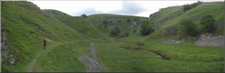
Path from the bottom of Trollers Gill above Skyreholme Beck |
|
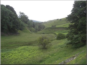
Old breached dam on Skyreholme Beck
At the road we turned left into the drive to Parcevall Hall and called
at the tea shop.
|
We followed the path above the beck down the valley to the road at
Parcevall Hall.
Path by the beck down to Parcevall Hall
|
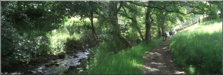
Path by the beck down to Parcevall Hall |
|
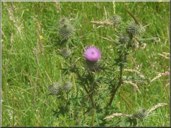
Just a thistle by the path
We made our way across the fields to the road at Skyreholme, map ref.
SE069607.
|
The weather was still fine and sunny so we sat outside for a welcome
drink. After our break we climbed the stile opposite the tea shop.
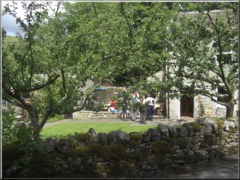
Tea shop at Parcevall Hall
|
|
Path across the fields to Skyreholme
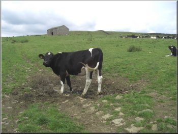
Field above High Skyreholme
He complained that the fleeces are only worth about 50p each and would
cost more than that to get his sheep sheared by a commercial shearer.
|
At the road we turned left to begin the long steady climb along the
road up through High Skyreholme to the moor top. Near the top of the
climb we passed a farmer and his wife shearing their flock of Swaledale
sheep.
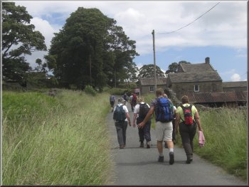
Road up through High Skyreholme
Looking down the valley towards Wharfedale
|
|
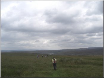
Track up to the Moor top
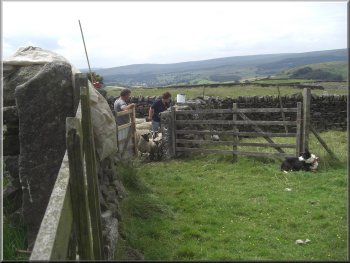
Sheep shearing in progress
When we reached the top we sat by the track for our lunch with a lovely
view back over Wharfedale. There was more cloud about now and an occasional
spot of rain, but nothing to warrant any extra clothing.
|
After about a kilometer along the road which had now become a rough
track, we came to a junction in the track at map ref. SE078615. We kept
to the left hand fork at the junction and continued to climb for another
350m.
Sheep shearing in progress
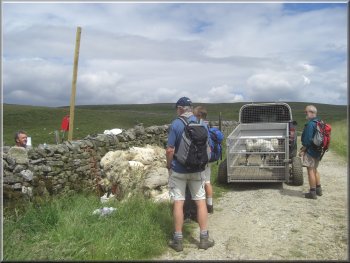
Track down to the main road near Stump Cross cavern
|
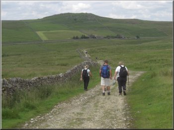
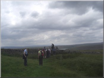
Looking back to Simons Seat along the track across the moor |
|
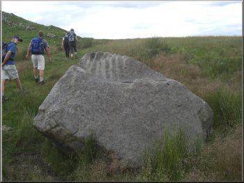
Grooved boulder by the path
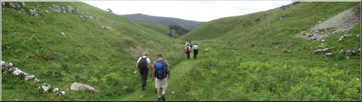
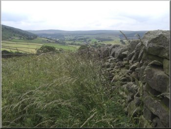
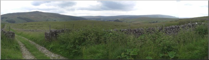
Crossing Grimwith Moor back to the reservoir
This is clearly what the farmer though we should have done as he came
past at that moment in his tractor towing a trailer and shouted something
at us as we began the climb. Not a good day for farmer/walker relations
- Oh well, we do try to build bridges where we can and have some very
pleasant conversations with farmers when we are out and about. We followed
the path over the hill to drop down to the edge of Grimwith reservoir
at map ref. SE072645.
|
After our lunch we followed the track for about 1.7km down to the B6265
a few hundred metres below Stump Cross cavern at map ref. SE083634.
Here we crossed the road to a pedestrian gate into the field opposite.
The field is open access land under the CRoW Act and the is a path up
the steep hillside to join a public footpath at map ref. SE082637. To
avoid the steep climb you can walk along the road for about 250m and
take the public footpath on the left hand side of the road.
Crossing Grimwith Moor back to the reservoir
Crossing Grimwith Moor back to the reservoir
|
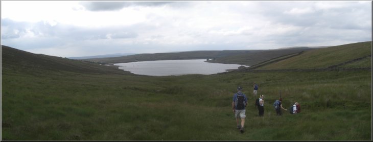
Crossing Grimwith Moor back to the reservoir |
|
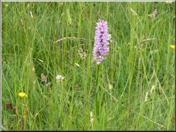
An orchid by the reservoir path
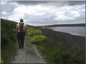
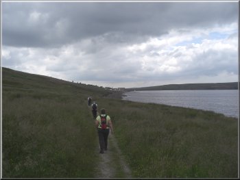
Reservoir path back to the car park
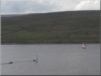
Sailing on the reservoir
Those at present unaffected by old age deterioration turned right and
followed the path for about 6km around the edge of the reservoir and
across the dam back to the car park. This route was about 16km and would
take about 5 hours to walk.
|
Here our little group split into two. All of us with dodgy knee joints
and other ailments turned left and walked about 1km back to the car
park around the edge of the reservoir. This route was about 11km and
took us about three and a half hours to walk including our stops.
Reservoir path back to the car park
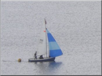
Sailing on the reservoir
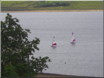
Sailing on the reservoir
|
The last 150m back to the car park |