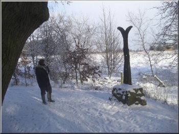
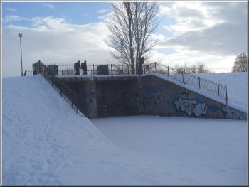
Sustrans cycle route 65 beside the River Ouse at Skelton
|
Walking along Rawcliffe Landing
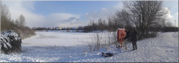
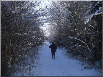
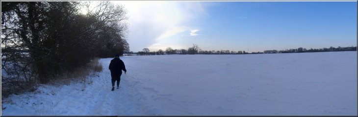
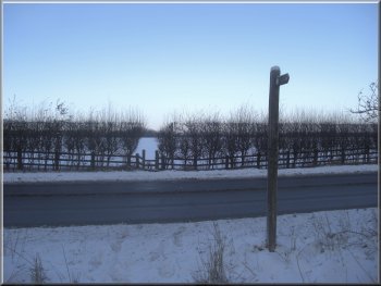
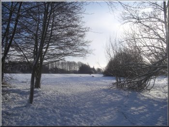
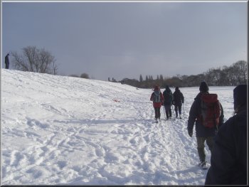
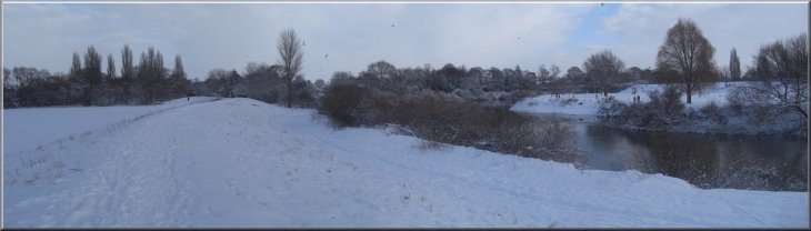
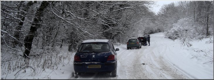
From the lay-by (map ref. SE571554) we walked along the A19 towards York for about 120m to an access road on the left called Rawcliffe Landing. We turned along this road and walked past a row of terrace houses to a track down to the bank of the River Ouse. The track is Sustrans cycle route 65. At the riverside the track turned right to follow the river upstream. We followed it for about 500m round the outside of a long bend in the river until we were approaching the railway bridge carrying the east coast main line over the River Ouse. |
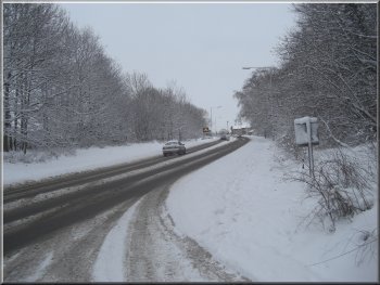
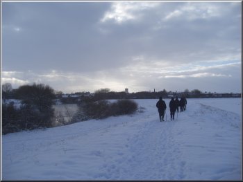
This morning my wife and I met a group of friends for our first monthly walk of this year. We all parked at the large lay-by off the A19, south of Skelton next to the Ramada Hotel (now the Mercure Fairfield Manor Hotel). There was a good covering of snow everywhere so this lay-by off the main road was an easy place to reach along the well gritted A19. The walk itself is a good snowy route but never far from civilisation if anything should go wrong (like damaged ankles on a slippy surface).
Sustrans cycle route 65 beside the River Ouse at Skelton
|
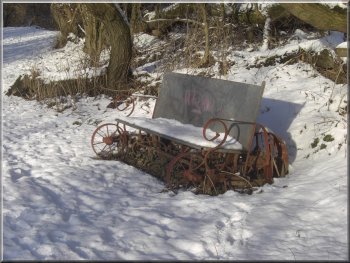
Seat made from recycled machinery parts
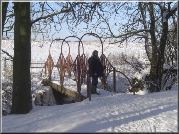
Bridge over Hurns Gutter
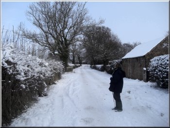
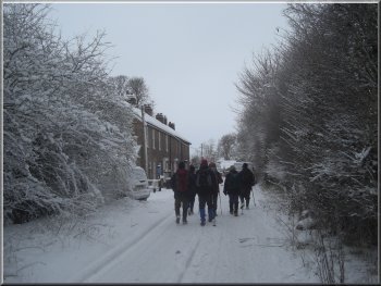
Stripe Lane leading back to the A19 at Skelton
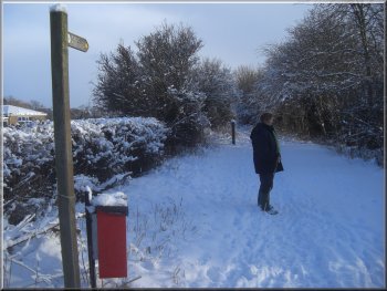
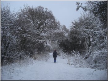
After about 800m we came to a minor road called Stripe Lane at map ref. SE564560. Here the cycle way turns left along the road, but we turned right and followed the road for 400m back to the A19. |
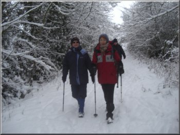
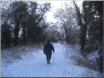
Here the track turned right to follow a stream called Hurns Gutter away from the river. We walked along the cycleway through some pleasant woodland and past a couple of seats made from recycled machinery.
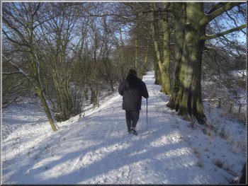
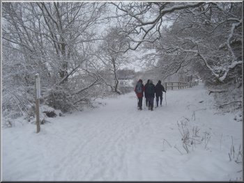
Footpath & Cycleway from the R. Ouse to Stripe Lane
Footpath & Cycleway from the R. Ouse to Stripe Lane
Crossing the A19 at Skelton from Stripe Lane
|
|
|
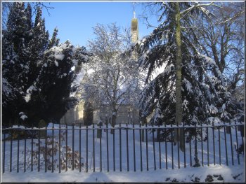
St. Giles Church in Skelton
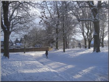
The village green in Skelton
The lane beside Skelton Primary School
We continued past the village green to a road on the right called Brecksfield at map ref. SE570565. We turned on to this road an followed it to Skelton Primary School on the left. Just beyond the school we turned left along a lane between tall hedges down the side of the school site.
|
We crossed the main road and took the St. Giles Road opposite through Skelton village. We passed the village green with the ancient church of St. Giles on the left at the far end of it. The church was built in the mid 1200's and it's said the work was done by masons who had previously been working on York Minster and the quality of the carving seems to support that.
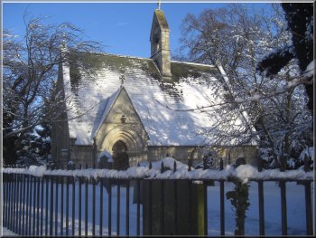
St. Giles Church in Skelton
The lane beside Skelton Primary School
The lane beside Skelton Primary School
|
Path across the fields heading for the York Northern by-pass
|
Wooded track beside Pennels Drain
Footbridge across a stream called Burtee Dam
Once we had crossed the footbridge the streams disappeared presumably into a culvert, but I didn't notice it in the snowy conditions. From the footbridge we followed the path across a large open field for about 400m to a stile on to the York northern by-pass (A1237). We crossed the stile on to the verge of the road and we were able to cross easily today. The snowy conditions had reduced the normally very busy flow of traffic to a trickle.
|
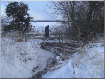
After about 250m we crossed a bridge over a stream called Pennels Drain. Once across the bridge we turned right and followed the track along side the tree-lined channel of Pennels Drain. We continued along the track beside the stream for about 1km to a footbridge at map ref. SE578555 over another stream called Burtree Dam.
Wooded track beside Pennels Drain
Our path crosses the York Northern by-pass
|
|
|
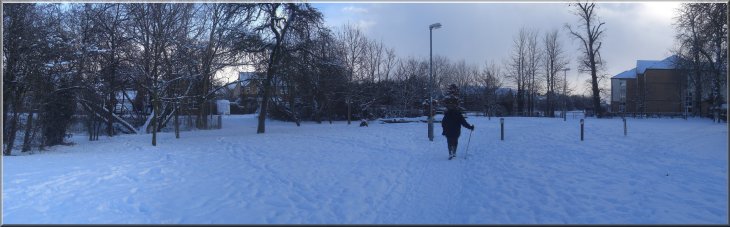
Open grassy area running through the housing estate
On the far side of the road we followed a path through the roadside belt of trees and out into the head of a cul-de-sac. We walked out of the cul-de-sac into Holyrood Drive where we turned left and walked along Holyrood Drive for a few metres to an open grassy area on the right. We turned to walk along this grassy strip through the housing estate for about 700m until we came to a large lake.
|
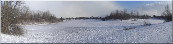
Rawcliffe Lake - frozen and covered with snow
Rawcliffe Lake was built in the early 1980's before the housing estate and it is used as a flood alleviation measure to control the flow of rain water from the estate into the watercourse downstream. It's also a very pleasant feature of the estate. We walked around the southern end of the lake, but there is a path all round the lake if you want to linger here for a while. We turned right away from the lake through an alleyway into Kentmere Drive. At the end of Kentmere Drive we turned right into Eastholme Drive and then left into Westholme Drive. At the end of Westholme Drive we turned right into Patterdale Drive and then left into Loweswater Road. This led us to the A19, Shipton Road.
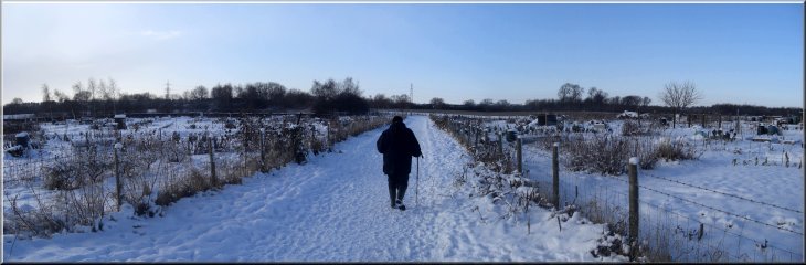
Track from the A19 across the allotment gardens
We crossed the main road and took a track opposite to a large area of allotment gardens. We followed this track past the allotment gardens and down to a footpath and cycle way (Sustrans Route 65) at map ref. SE578539. We turned right to follow this path along the foot of the flood defence embankment around Clifton Ings heading towards the centre of York.
|
Footpath & cycleway below the Clifton Ings embankment
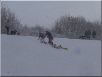
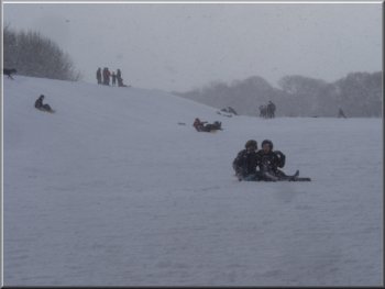
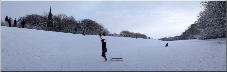
Snowy playtime on the embankment
We sat on a bench to watch the entertainment whilst we had a hot drink.
|
The embankment had turned into a snowy playground with people sledging down it, building snowmen and having snowball fights.
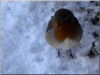
A robin came to see us looking for tit bits
Snowy playtime on the embankment
|
Snowy playtime on the embankment
|
Following the path along the foot of the embankment
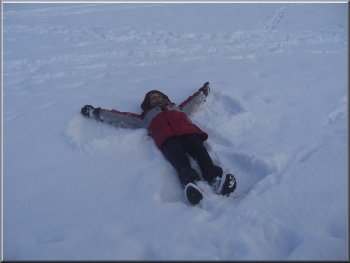
. . . the finished snow angel
We climbed on to the flood bank and turned right on to a path along the top of the flood bank following the river upstream.
|
We then continued along the path for about 1km to map ref. SE587530. Here there are the sluices that allow flood water from Clifton Ings to return to the River Ouse in a controlled way.
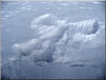
Making a snow angel . . .
The outlet sluices on Clifton Ings
|
|
|
Looking downstream along the River Ouse floodbank
|
Path along the top of the R. Ouse floodbank
After almost 3km we reached the sluices that admit floodwater into the Clifton Ings at map ref. SE571549. |
We walked along the top of the flood bank passing under the York northern by-pass viaduct.
Path along the top of the R. Ouse floodbank
|
|

Flood water inlet to Clifton Ings
|

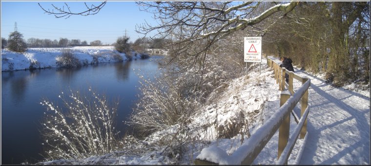
R. Ouse seen from the cycleway & path near Skelton
Here we turned right to walk along Rawcliffe Landing and retrace our steps back to the cars in the lay-by. The whole walk had been 12km and it had taken us around four and a half hours to walk in these snowy conditions. |
We walked past the sluices to rejoin the footpath and cycleway for about 250m back to the access road called Rawcliffe Landing.

Sign on the cycleway and footpath at Rawcliffe Landing
|
Back at the lay-by off the A19 at Skelton
|