| 2001 walks | 2002
walks | 2003 walks | 2004
walks |
| 2005 walks | 2006
walks | 2007 walks | 2008
walks |
| 2009 walks | 2010
walks | 2011 walks | 2012 walks |
| 2013 walks | 2014 walks | 2015 walks | 2016 walks |
| 2017 walks | 2018 walks | 2019 walks |2020 walks |
| 2021 walks | 1993-2000 library | Find a Route Index |
| A few Routes to print out | Request a Route... |
Route No. 397 - Friday 18 March 2011
East Moor Wood, Cinder Hill,
Birk Nab Farm, Lund Farm circuit - 11km
Bransdale, North York Moors . . .
Route map from Ordnance Survey
Open Space service.
Map: OS Explorer OL26 North York Moors Western area at 1:25000
Another interesting route contributed by Ray Brown
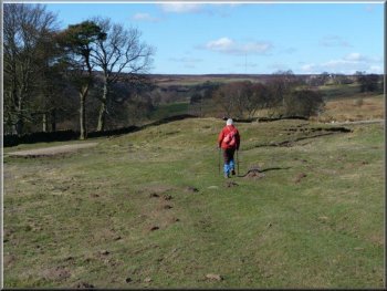
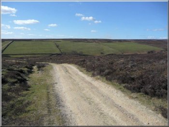
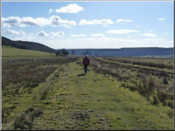
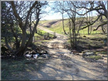
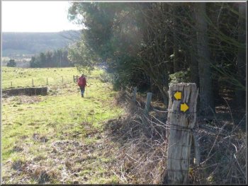
About 100 metres from the public phone box we turned right heading for
a ford across Cowhouse Beck |
|
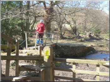
Crossing Cowhouse Beck
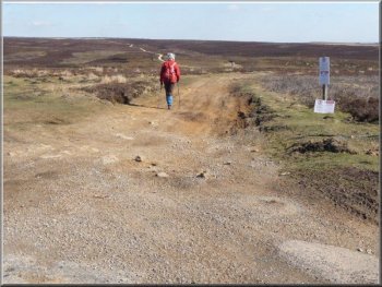
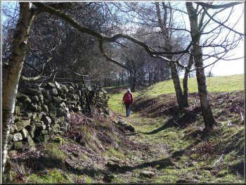
The grass track branching to the right
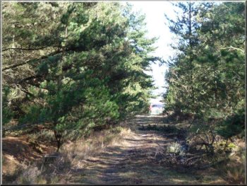
After crossing the footbridge over Cowhouse Beck we took the right
fork, continuing on the gravel track uphill to a gate where the track
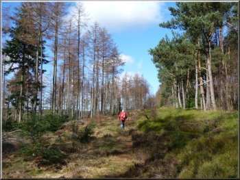
forked three ways. Taking the leftmost fork we reached, within about
150 metres, a grass track branching to the right which led us through
East Moor Wood.
|
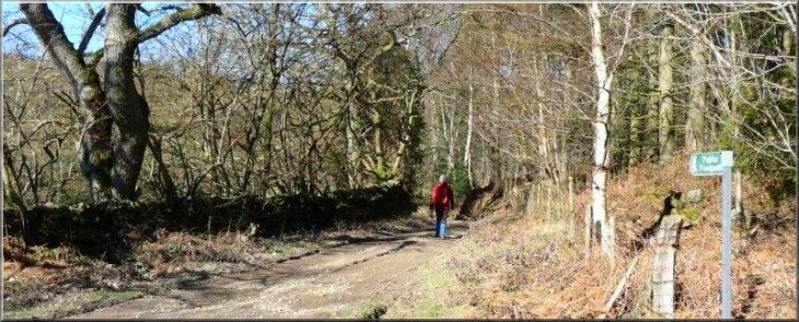
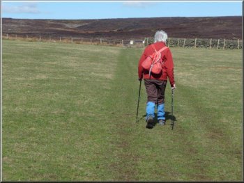
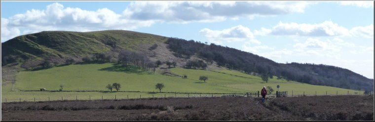
Carpe Diem (seize the day!); discounting the conflicting weather forecasts
for the day we trusted the blue sky and set out for lower Bransdale,
parking opposite the public phone box just beyond the crossing of Cowhouse
Beck, map ref. SE609903 on the Helmsley-Bransdale road. We walked back
down the road about 150 metres and turned right on to a track at the
"Public Footpath" sign.
The left of three forks beyond the gate at map ref. SE606906
Track through East Moor Wood
|
|
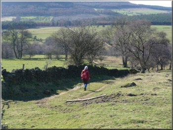
Continuing straight ahead at map ref. SE600912 to by-pass Snaper House
Farm track towards Potter House
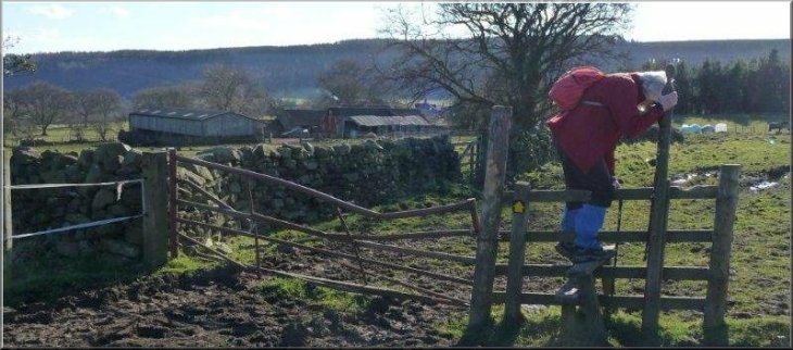
However just before we reached the farm gate of Potter House we made
a sharp right turn towards a steel gate at the far corner of the field.
In fact there is a waymark by the previous gate but it faces the opposite
direction and is easily missed.
|
About 1km further, we continued straight ahead where a track dropped
down on the left. Our grassy track soon emerged from the wood and after
a while at SE598916 we turned left over a stile to pass to the North
of Snaper House. The track led through 2 gates and a further gateway
before it turned left towards Potter House.
Making for the stile towards Snaper House
Heading for a steel gate at the far corner of the field
|
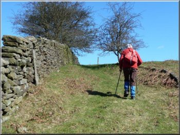
Beyond Potter House the track gradually curved round to the right |
|
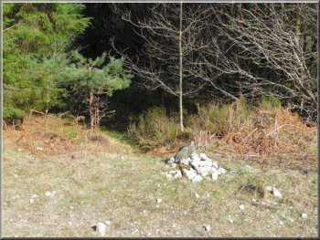
Heading for the corner of the forest at map ref. SE595919
At this small cairn we carried straight over onto a narrow grass path
Here at a small cairn we carried straight over on to a narrow grass
path and soon found a stream running on the right. After passing through
a small gate we dropped down to pick our way across Bogmire Gill to
a farm gate.
|
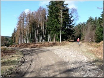
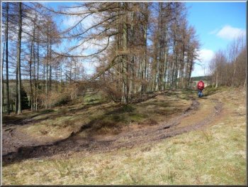
After the steel gate the track gradually curved round to the right
and at SE595920, where it turns left, we left it for a short path on
the right leading to the corner of the forest. From here the forest
track was straight, crossing over another forest track until it reached
yet another.
Straight track through East Moor Wood

Dropping down to cross Bogmire Gill to a farm gate at map ref. SE602922
|
|
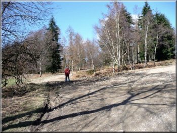
Grass path heading for Old Kiln Farm
We circumnavigated the farm via a couple of farm gates, the first of
wood, the second of steel from which the route led downhill to a gravel
track.
|
After passing through the gate we kept to the right of a wall on a
grass path which ran uphill to Old Kiln Farm.
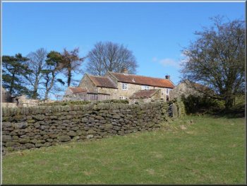
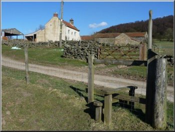
Old Kiln Farm
|
|
Walking around Old Kiln Farm through a wooden gate before turning left
to the steel gate
|
|
The route led downhill to a gravel track
On reaching the road at SE 606926 we turned left and walked north until
we reached a track on the right at SE608930.
|
At SE605925 we continued on to a narrow path, not much wider than a
sheep track.
The track on the right at map ref. SE608930
|
|
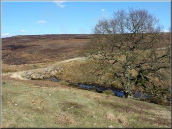
Cinderhill Wath ford over the Bonfield Gill
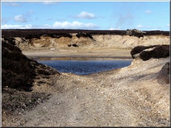
Pond in a disused gravel pit at SE618934
Then there was a steady climb up to a pond in a disused pit at SE618934.
|
This track took us past three pastures on the left and down to the
Cinderhill Wath ford over the Bonfield Gill.
Looking back at the three pastures
The track to the right, initially running due South from map ref. SE618933
|
|
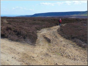
Branching right on to a grassy track
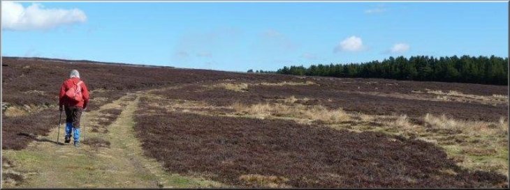
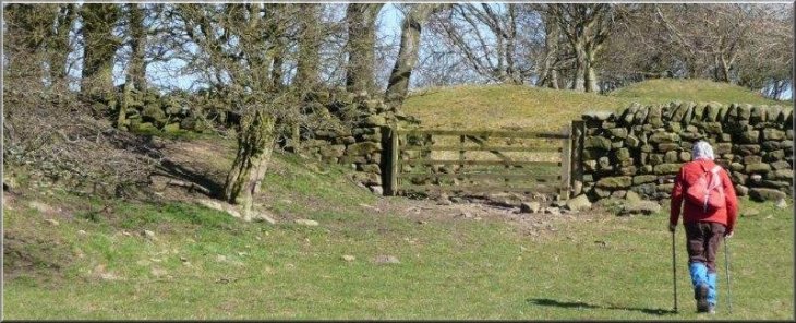
At the Hanging Stones we immediately branched right on to a more grassy
track that gradually curved right, passing 'sprunts' (small outcrops
on the left of the path where it follows a depression). Quite suddenly
our surroundings merged from moor into farmland
|
At that point there is a crossing of tracks and we took the track to
the right, initially running due South. This track became stony in parts
and muddy in others where vehicles had produced ruts. About 1km later
we passed three "Hanging Stones" on the right.
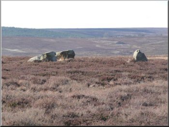
The three "Hanging Stones" at map ref. SE623922
|
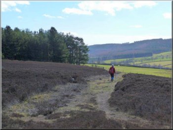
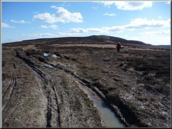
Heading towards Birk Nab where the moor merges into farmland |
|
Track heading towards Birk Nab Farm
Track running downhill to Bonfield Gill
The stile led us on to a path that became a track running downhill
to a ford over Bonfield Gill.
|
After passing through a couple of farm gates, we arrived at Birk Nab
farm. Immediately beyond the farm we crossed a stile on the right.
Stile on the right beyond Birk Nab Farm
The ford over Bonfield Gill
|
|
Wall on the left of the track from Bonfield Gill to Lund Farm
We passed over a couple of stiles on our way towards Lund Farm. Alongside
the farm we had to disconnect, and then reconnect, two electric fences
that were confining some horses.
|
We immediately passed through a wooden gate on the left as waymarked
and followed the wall on our left.
Electric fences beside Lund Farm
|
Passing over stiles on our way towards Lund Farm |
|
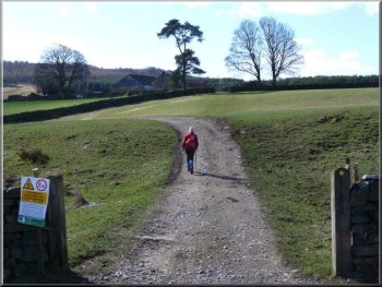
Making for the road via a gate with a plantation on our right
This had been a most enjoyable walk with perfect weather and much
less mud underfoot than on a nearby walk only three weeks ago; Spring
has arrived! - Ray Brown
|
On leaving the second house at Lund Farm we followed a waymark directing
us towards a gate with a plantation on our right. Staying on the left
of the woodland we reached a small gate and then a tiny chapel before
coming out at the road and our car.
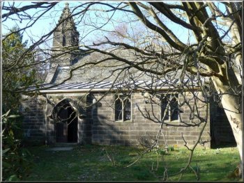
The tiny chapel by the road at the end of our walk
|