| 2001 walks | 2002
walks | 2003 walks | 2004
walks |
| 2005 walks | 2006
walks | 2007 walks | 2008
walks |
| 2009 walks | 2010
walks | 2011 walks | 2012 walks |
| 2013 walks | 2014 walks | 2015 walks | 2016 walks |
| 2017 walks | 2018 walks | 2019 walks |2020 walks |
| 2021 walks | 1993-2000 library | Find a Route Index |
| A few Routes to print out | Request a Route... |
Route No. 435 - Wednesday 5 October 2011
Millington village, Wolds Way,
Millington wood circuit - 10km
Yorkshire Wolds . . .
Route map from Ordnance Survey
Open Space service.
Map: OS Explorer 294 Market Weighton & Yorkshire Wolds Central
|
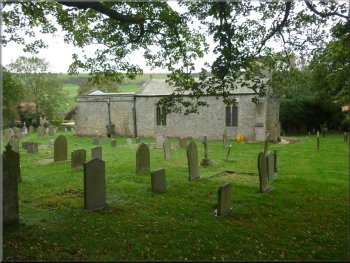
Millington Church
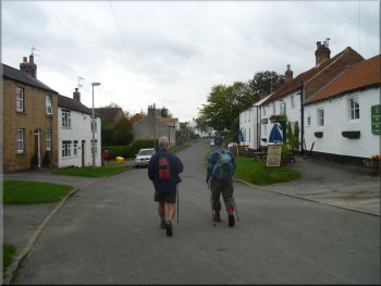
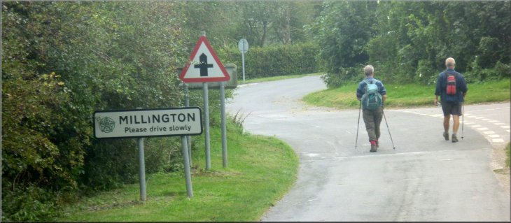
Walking through Millington village
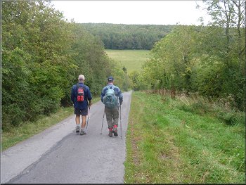
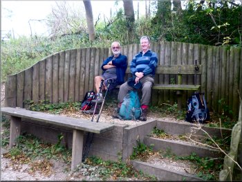
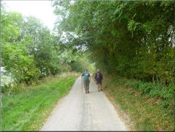
We started walking at about 10.00am through the village on the road
towards the Buddhist Centre at Kilnwick Percy Hall. The road took us
across Millington Beck and up the far side of Millington Dale.
|
This morning my mate, Jim, and I drove to Millington on the Yorkshire
Wolds near Pocklington to meet our friend John, who lives nearby. We
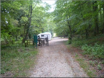
parked on a little gravel lay-by next to the church at map ref. SE830518.
Leaving the lay-by at the church
The lane from Millington to Kilnwick Percy
|
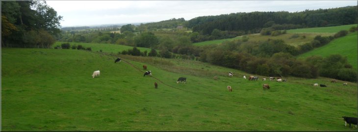
Looking across Millington Dale from the road to Kilnwick Percy |
|
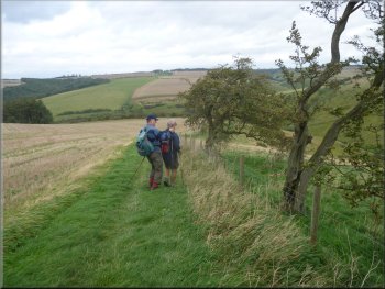
A chance meeting at the junction
Wolds Way climbing up to Warrendale plantation
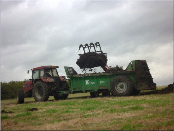
Autumn muck spreading in progress
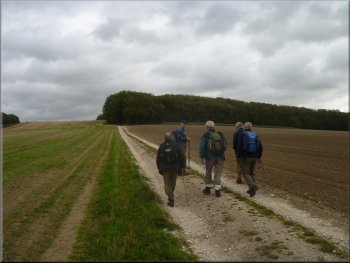
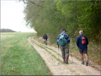
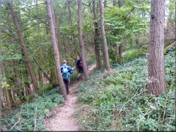
It turned out that they were walking a shorter version of our route
that had been published in the 'Dalesman' magazine this month. From
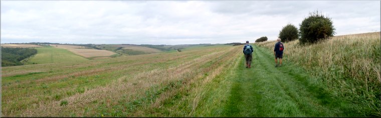
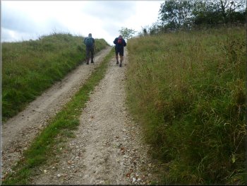
the junction we all followed the Wolds Way route climbing up along the
edge of Warrendale Plantation.
|
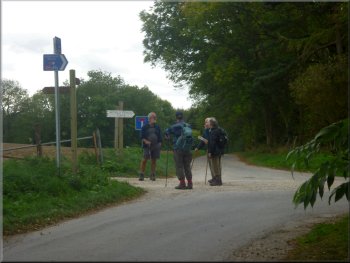
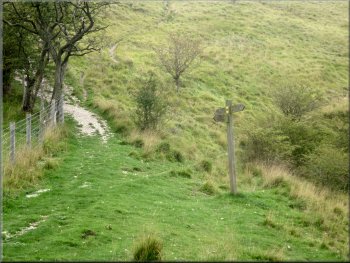
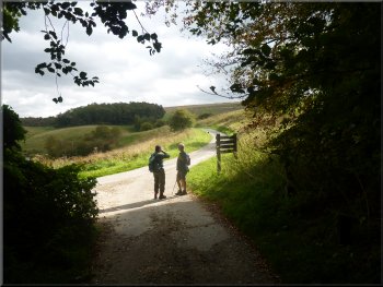
After 1.5km we came to a junction at map ref. SE829506. At the junction
there is a sign post to "The World Peace Cafe", a quirky little place
at the Buddhist Centre. Three men of our vintage arrived at the junction
from the direction of the cafe at the same time as us.
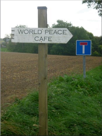
Sign at the junction
Wolds Way along the edge of Warrendale Plantation
|
|
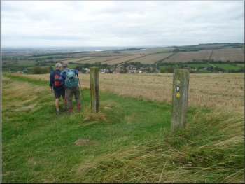
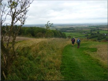
The Wolds Way opposite Millington village
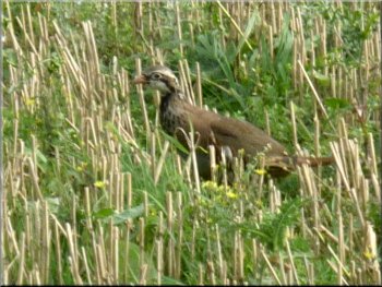
A
red-legged or French Partridge in the stubble by the path
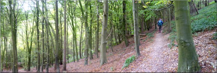
We continued along the Wolds Way (it's also the Minster Way and the
Chalklands Way at this point!) to a steep sided little valley called
Sylvan Dale.
|
Just before Warren Farm the three gentlemen that we had met turned
down the hillside to Millington.
The Wolds Way opposite Millington village
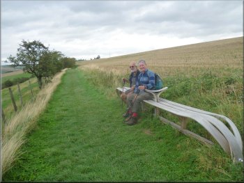
Poetic
seat on the Wolds Way
|
The Wolds Way above Millington Dale |
|
Starting to descend into Sylvan Dale
Signpost on the Wolds Way in Sylvan Dale
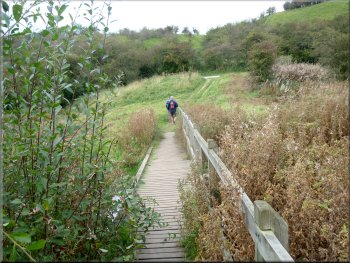
Footbridge over Millington Beck
Fortunately our route left the Wolds Way in the valley bottom and
continued to follow the little valley out to the road at map ref. SE842531.
At this point the old course of a Roman Road (from Beverley to Malton)
comes down the valley to cross the road.
|
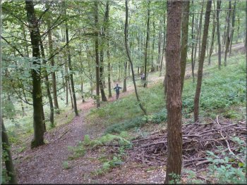
As we started to descend into Sylvan Dale, John pointed out a permissive
path that runs around the contour of the valley side back to Millington
and we duly noted it for future reference. It was good to have John
with us for his local knowledge (and his company). We followed the path
down into Sylvan Dale and on the opposite side of the valley was a flight
of steps taking the Wolds Way straight up the steep valley side.
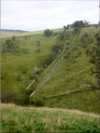
Steps on the Wolds Way climbing out of Sylvan Dale
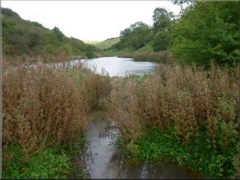
Pond on Millington Beck
|
|
Road along Millington Dale towards Millington Wood
Track along the valley bottom
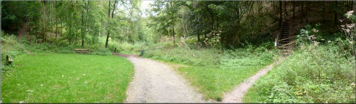
We followed the track for about 350m to a point where there is a charcoal
burner by the track and just before it there are paths off the track
to both sides of the valley.
|
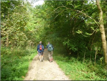
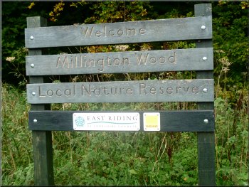
At the road we turned left and walked along the road to the entrance
to Millington Wood at map ref. SE838530. The wood fills the sides of
a little valley with a track along the bottom.
The entrance to Millington Wood
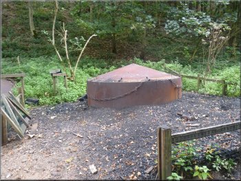
A charcoal burner by the track
|
A path up either side of the valley from the track in the bottom |
|
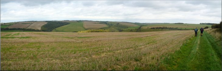
Approaching the view point
Looking out from the view point
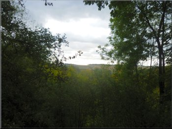
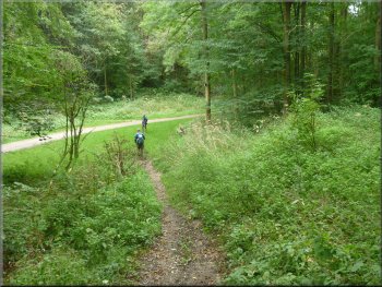
The path climbed up the valley side and we worked our way around towards
the head of the valley. There is a steep scramble up part of the way
but at last we reached a raised seat at the viewpoint at the head of
the valley. We sat there for our lunch with a pleasant view through
the tree tops to the far side of Millington Dale where we had walked
earlier in the day.
|
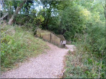
The better track is off to the right but today this has closure notices
displayed and yellow tape blocking the access. It seems that the path
itself is OK but the hand rail and its supports are rotten, broken and
unusable. The path off to the left has no handrails and is open so we
took that.
The seat at the view point
Working our way along the valley side
|
Working our way along the valley side |
|
Dropping down the valley side, a lot easier than scrambling up
Approaching the car park in Millington Wood
Track from Millington wood
Here there are a series of oak
columns on the road side, each with a large metal ring attached.
All the land here used to be common grazing land and apparently wooden
posts of this kind were used to tether cattle. The posts here now are
a sculptural reminiscence of this bygone age.
|
After our break we retraced our steps back to the track in the valley
bottom and form there made our way out of the valley to the road. At
the road we turned right to climb up a short stretch of track that cut
off a hairpin bend in the road. We rejoined the road at the top of the
hairpin bend at map ref. SE838529.
Dropping back down to the track in the valley bottom
Leaving Millington Wood
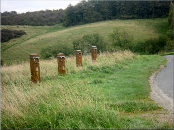
Oak sculpture posts by the road side
|
|
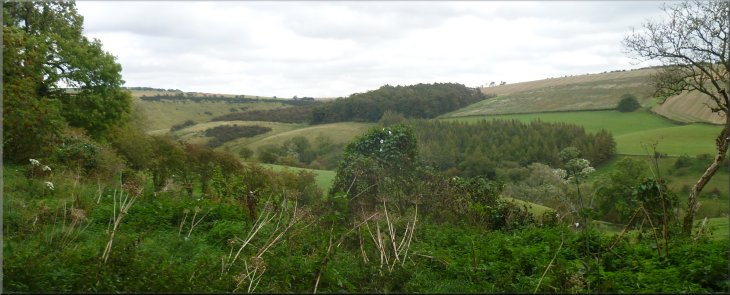
Looking back up Millington Dale

Looking across Millington Dale from the road back into Millington village
|
|
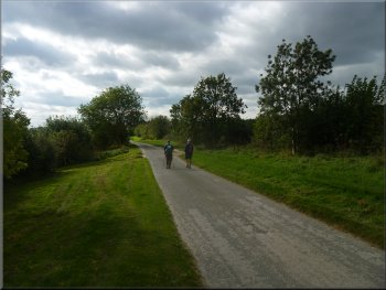
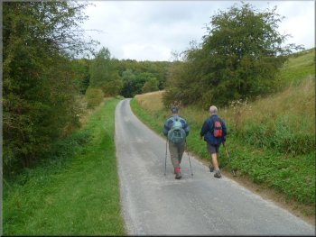
The road back to Millington village
The whole route had been about 10km and it had taken us three hours
to walk including our lunch stop.
|
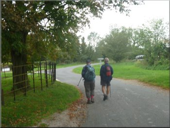
We walked along the road for about a kilometer back into Millington
and the end of our walk.
The road back to Millington village
|
Returning to Millington village at the end of our walk |
|
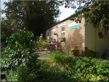
'World Peace Cafe' at Kilnwick Percy
We had a coffee (no hot snacks available) to finish off the walk and
there we met the three walkers we had encountered near the start of
our walk.
|
From Millington we drove about 1.5km to the 'World Peace Cafe' at
the Kilnwick Percy Buddhist Centre.
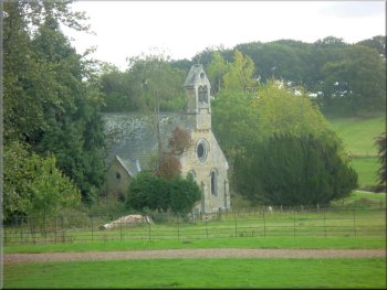
Kilnwick Percy chapel
|
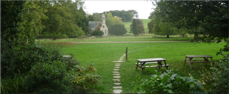
The chapel at Kilnwick Percy seen from the 'World Peace Cafe' |