| 2001 walks | 2002
walks | 2003 walks | 2004
walks |
| 2005 walks | 2006
walks | 2007 walks | 2008
walks |
| 2009 walks | 2010
walks | 2011 walks | 2012 walks |
| 2013 walks | 2014 walks | 2015 walks | 2016 walks |
| 2017 walks | 2018 walks | 2019 walks |2020 walks |
| 2021 walks | 1993-2000 library | Find a Route Index |
| A few Routes to print out | Request a Route... |
Route No. 441 - Tuesday 25 October 2011
Reeth, Arkle Town, Fore Gill,
Helaugh circuit - 13km
Swaledale, Yorkshire Dales. . .
Route map from Ordnance Survey
Open Space service.
Map: OS Explorer OL30 Yorkshire Dales Northern & Central areas
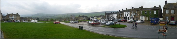
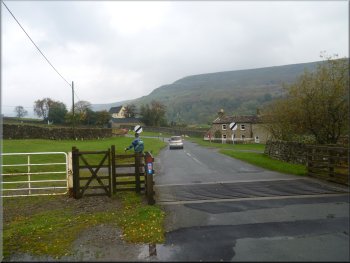
Parking on the village green in the centre of Reeth |
Fremington Edge from the road out of Reeth
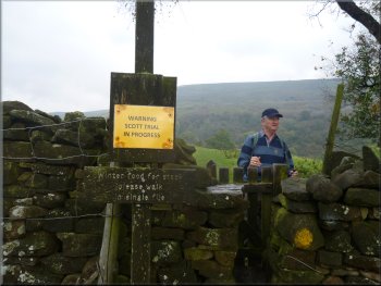
Scott Trial warning sign at our turn off the road
We set off along the road up Arkengarthdale which we followed for
about 700m to a left hand bend just after a cattle grid. We turned off
the road here, map ref. SE035999, and climbed the stile into a field.
At the stile was a notice warning that the "Scott
Trial" was in progress. The notice was left over from last
Saturday when the annual, one day, Alfred Scott memorial, international
motor bike trial was held as usual in Arkengarthdale. |
There has been a good deal of rain about lately but after a heavy
overnight downpour it's forecast to be a fine blustery and somewhat
cloudy day today. My mate, Jim, and I drove to Reeth in Swaledale and
parked on the village green parking area in front of the Black Bull
& Kings Arms pubs at map ref. SE038992.
Cattle grid 150m before our turn off the road
Looking up Arkengarthdale with Fremington Edge on the right
|
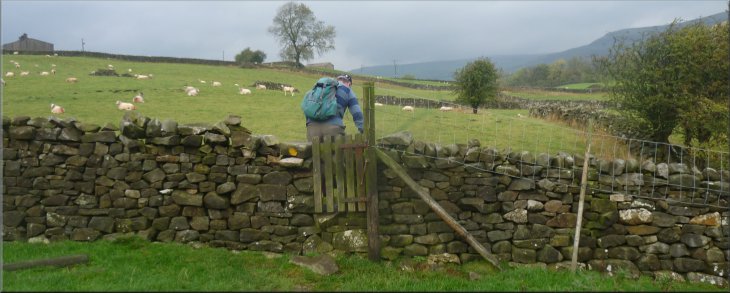
One of many stiles on the path up Arkengarthdale |
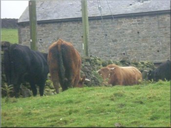
A limousin bull & his harem by the path
Path heading up Arkengarthdale
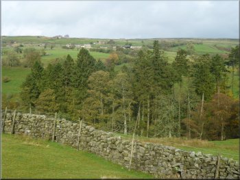
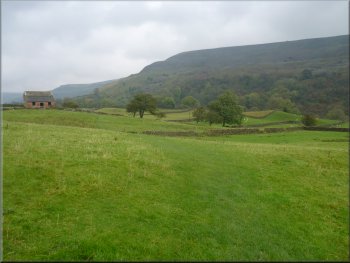
Looking across Arkengarthdale to the village of Booze
Ahead of us up on the hillside was the village of Booze. Away to our
right across the beck was Fremmington Edge running all the way back
to the junction of Arkengarthdale and Swaledale. |
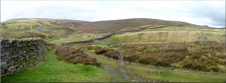
We followed this path across the fields gradually climbing up Arkengarthdale
with Arkle Beck below us for over 3km to a footbridge over Arkle Beck
at map ref. NZ010020.
Path heading up Arkengarthdale
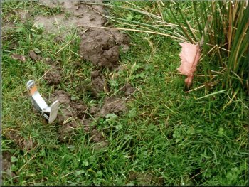
A marker & mole trap placed in a mole's tunnel
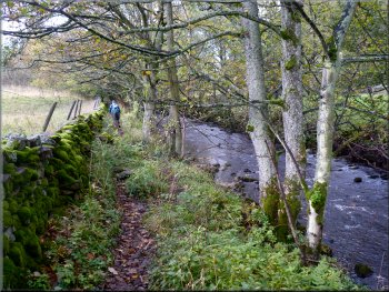
Path by Arkle Beck heading for Arkle Town
|
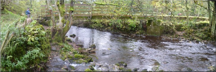
Footbridge over Arkle Beck below Arkle Town |
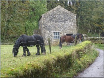
I just like heavy horses
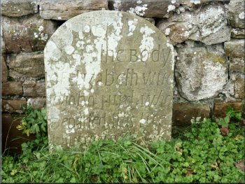
One of many gravestones at Arkle Town
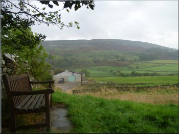
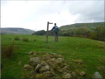
There was a small green with a bench where we sat for our lunch. After
our break we walked out to the road along the dale at map ref. NZ007019.
We crossed the road and took the path opposite signposted to Fore Gill
Gate. |
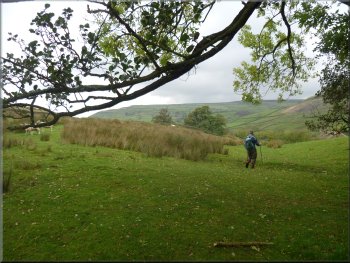
At the footbridge we followed the path away from the beck and into
Arkle Town (a tiny hamlet). The field at the edge of the hamlet seemed
to be an abandoned graveyard with numerous headstones in the rough pasture
and along the wall.
Looking up Arkengarthdale to Langthwaite
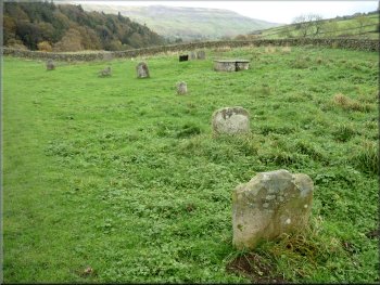
Graves in some rough pasture at Arkle Town
|
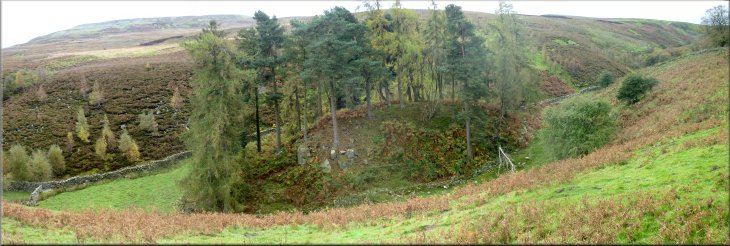
A rocky mound in Fore Gill |
Looking back down Fore Gill across Arkengarthdale to Fremington Edge
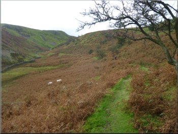
Following the path up Fore Gill
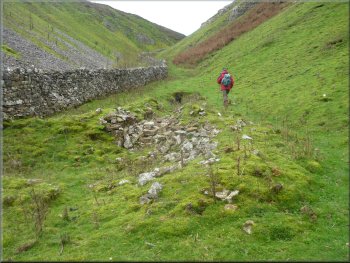
Passing the old mine entrance
Beyond the old mine we followed a well walked path out to a track at
map ref. NY993009, near Fore Gill Gate. The last 250m is not a public
right of way but it is on open access land.
|
The path climbed up along the edge of a narrow valley called Fore
Gill. Near the top of this valley is a spoil heap and mine entrance
from the lead mining era in this area, although the mine entrance is
almost filled in now.
The path climbing up Fore Gill
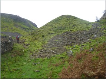
The old lead mining spoil heap from below
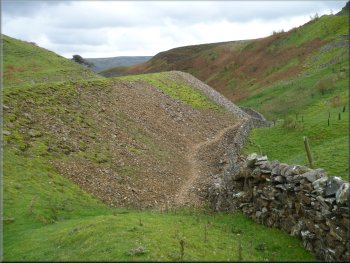
The old lead mining spoil heap from above
|
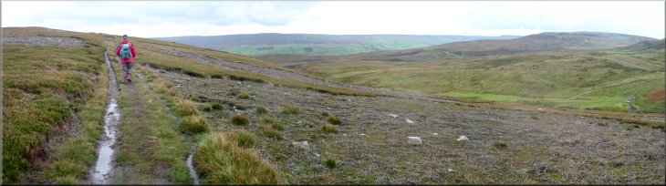
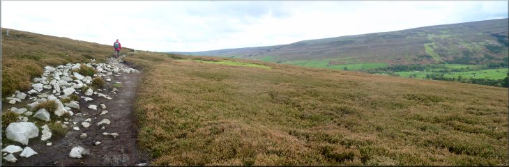
Our track across the moor from Fore Gill Gate |
Our track across the moor from Fore Gill Gate
We followed a public bridleway from Fore Gill Gate heading southeast
towards Healaugh for about 1200m to map ref. NZ004000. Here there is
a stone wall on the left of the path enclosing a few rough fields. At
the southerly corner of the wall we took a track to the left of the
public bridleway. |
Once out of Fore Gill we were on wild open high moorland with magnificent
vistas in every direction. The moors are open access land and there
are good paths and tracks not all marked on the OS maps, so navigation
can be a bit awkward.
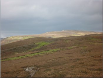
A patch of sunlight on the moor behind us
|
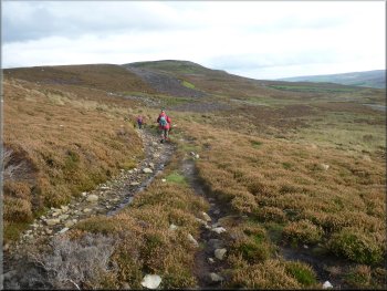
Our track across the moor from Fore Gill Gate |
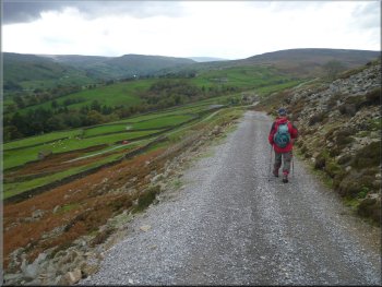
Start of the gravel road down towards Healaugh
Steep descent towards Healaugh
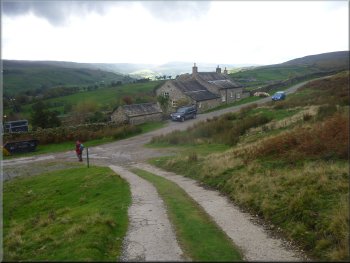
Looking down on to Healaugh
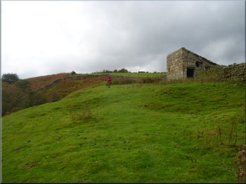
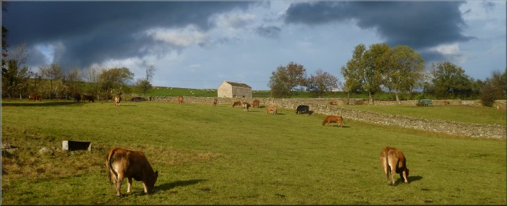
We continued to follow the road down the steep hillside. On our right
we passed a thatched barn which had a plaque proclaiming it as a winner
of an architectural award for restoration. At last we reached the bottom
of the long descent at the main road in Healaugh. Here we turned left
to walk along the main road for about 200m to take a footpath off the
right hand side of the road at map ref. SE019990. |
We followed this track for about 1200m to map ref. SE015996. At this
point we had reached a wide gravel road on the edge of the moor above
Healaugh. We turned right almost doubling back to follow this gravel
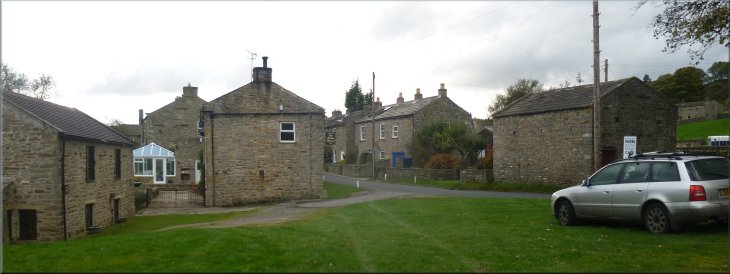
road down towards Healaugh. After about 450m we came to a few stone
cottages where the road made a hair-pin turn left.
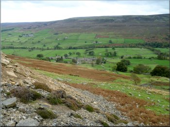
Looking down to Healaugh from the edge of the moor
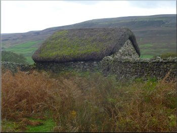
Award winning thatched barn by the road
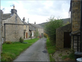
The lane from the moor into Healaugh
|
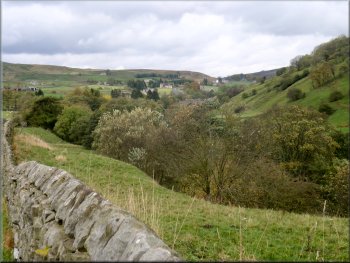
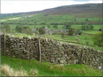
Looking back to Healaugh from the start of the field path to Reeth |
Looking down Swaledale from the edge of Reeth
The whole route had been 13km and it had taken me 5hours 45 minutes
to walk including our stops. We were just in time to place our order
for coffee and toasted teacakes before to closed sign was put in the
cafe window at the bottom of the village green. |
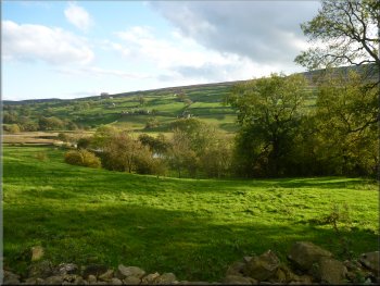
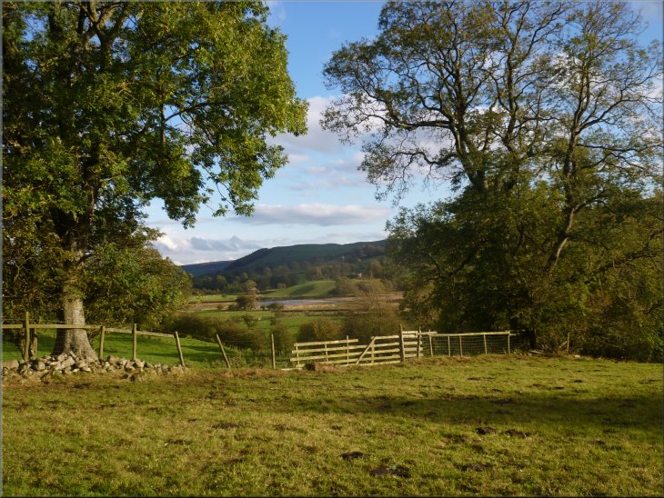
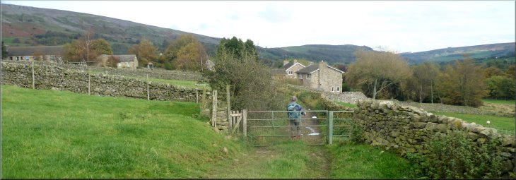
We followed this path across the fields for almost 2km back into
Reeth. The patches of late afternoon sunshine lifted the autumn colours
in the countryside as we looked across Swaledale on our way back into
Reeth and the end of our walk.
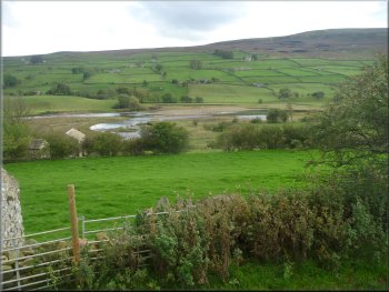
Looking across the River Swale on the edge of Reeth
|
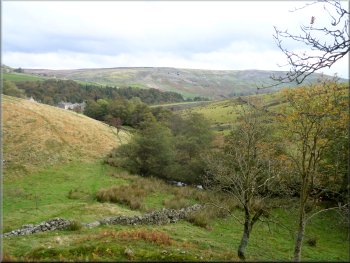
The fields above the River Swale between Healaugh and Reeth
Looking across Swaledale in the late afternoon sunshine
The lane back into Reeth at the end of our walk
|