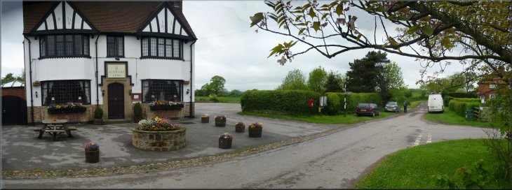
The Aldwark Arms, pub & restaurant, at the start of our walk
|
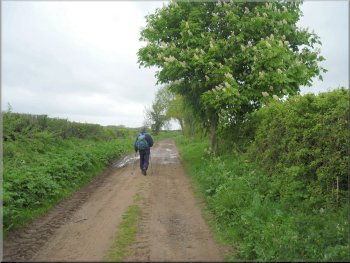
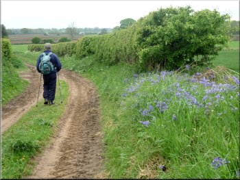
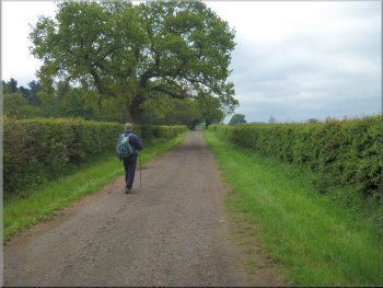
Leaving Aldwark along the lane between the fields
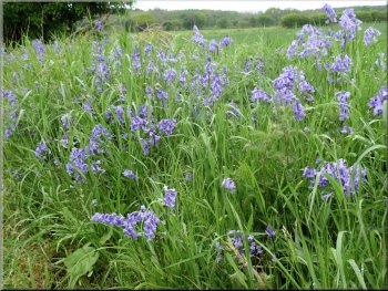
Bluebells under the hedge
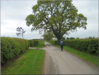
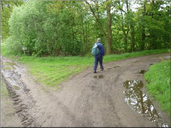
The hedgerows had that lush fresh green foliage of early summer and for once the ground was dry to walk
on. There were a few lovely patches of bluebells in the hedge bottom and at one point an RAF transport plane flew low overhead from the Linton RAF
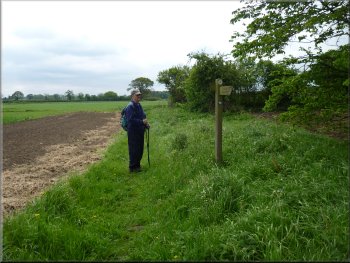
base just a few kilometers to the South East of us. About 2km from the start we came to a junction in the paths at map ref. SE455651. |
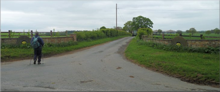
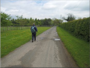
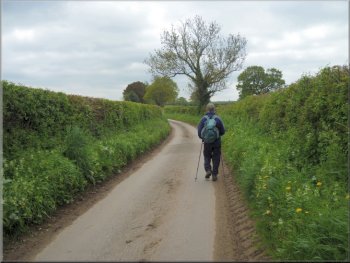
My neighbour, Jim, and I had to settle for a short local walk today, so we drove to the village of Aldwark just a couple of hundred metres from the Rive
Ure. We parked on the wide grass verge of a lane next to the Aldwark Arms pub & restaurant at map ref. SE465636. From there we headed North
West along the lane between the fields.
Bluebells under the hedge
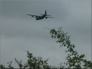
An RAF transport plane flew low overhead
|
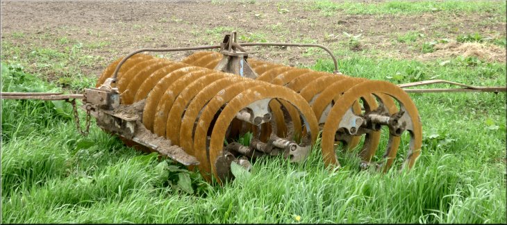
A type of disc harrow in a field by the lane
About 2km from the start we came to a junction in the paths
|
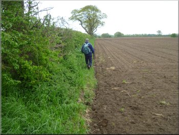
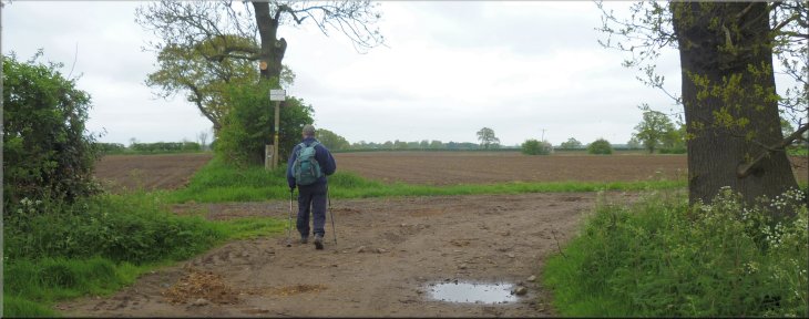
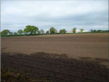
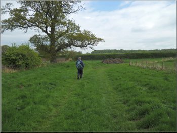
Our path along the edge of a recently sown field
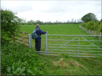
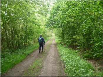
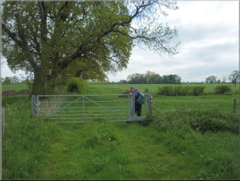
At the end of this large field we came to some pasture land where the going
was quite easy. This led us to a pair of steel gates onto a farm access track. |
The main track
turned right, but our public footpath continued straight on along the edge of a recently sown field. The field had been cultivated very close to the edge
and it was difficult to walk along the narrow strip left next to the hedgerow.
The path continued across some pasture land
|
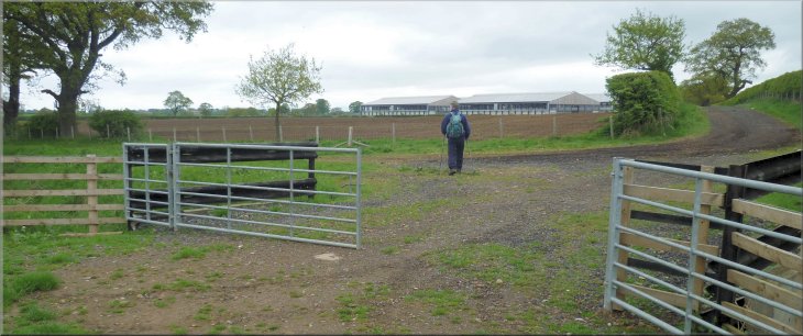
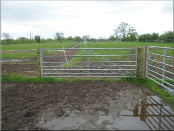
Steel gates to the farm track where we turned left. The track to the right goes to The Haddocks
|
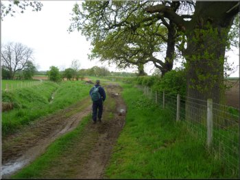
We continued in the same direction along the farm track
Footpath across the fields towards Plump House farm
After a few hundred metres we left the
track and continued in the same direction along a public footpath across the fields to a farm called Plump House. |
There was a track to the right, North East, heading for a farm called The
Haddocks on the map, but we turned left and continued in the same North Westerly direction as before along the farm access track.
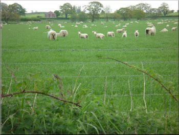
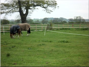
Ewes and well grown lambs in the field by the track
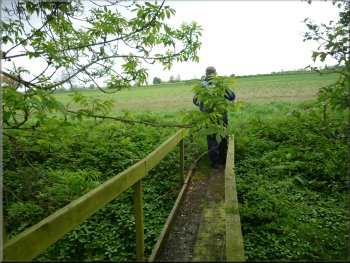
Footpath across a small stream near Plump House farm
|
We picked our way through the maze of electric-fenced horse paddocks at Plump House farm
|
|
Looking back to the gate blocked by electrified tape
Then we decided that the most straightforward route would be to climb over the strong timber fence into the first large paddock then stride over the tape
that was sagging quite low at the far end of the paddock and duck under the tape that ran along the top of a steel gate into the next field. Once we had
assessed the situation we managed to cross the field in this way without any trouble. When we got to the next field which adjoined the road we
crossed the field to the North Western corner where there was an overgrown stile through the hedge to the road at map ref. SE448666. |
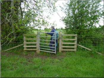
Here there was a problem The large
field next to the farm had been divided up into a series of horse paddocks with that electrified white tape that horse owners seem so fond of. One strip
of this tape was fixed to the fence and across the pedestrian gate into the field. The route across the field was also obstructed by lines of tape
dividing the field into paddocks, several of which contained horses. This was a serious obstruction. We surveyed the way ahead for a few minutes
Looking back we had ducked under the electric
tape on the left to come through the gate
|
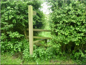
Overgrown stile through the hedge to the road
This is
the turning on the right along the farm access road to Myton Hall Farms (the name plates have the Morrison's Supermarket logo on them). |
At the road
we turned right and walked along the road through an area called Myton Moor on the map for about 600m to a junction at map ref. SE455665.
Walking along the road over 'Myton Moor'
|
Turning on to the access road to Myton Hall Farms at The Haddocks
|
The access road to The Haddocks, Myton Hall farms
Passing some of the modern farm buildings by the access road
Looking back to The Haddocks across the fields
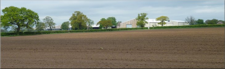
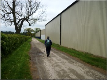
There are about a dozen buildings in all I think, that were completed about 2 years ago. About 300m beyond this farm at map ref. SE457655, we turned left onto another track for about 100m where we made a right turn. |
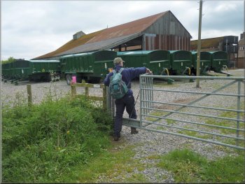
We
followed the public bridleway along the farm access road past the farm called The Haddocks on the map, but its business name seems to be Myton
Hall Farms. A whole series of large farm buildings for livestock and ancillary facilities have been constructed.
The entrance to The Haddocks, Myton Hall Farms
Continuing along the access road beyond The Haddocks
Our turning towards Grange Cottage
|
Our track towards Grange Cottage
Path across the fields to Rising Sun Farm
The
path then turned left along a field edge for about 400m and then turned right to Rising Sun Farm.
|
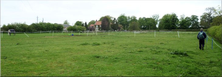
After the turn we continued along this track for about 500m and crossed the grassy yard of Grange Cottage.
Looking back along the track past Grange Cottage
Path across the fields to Rising Sun Farm
|
Path across the fields to Rising Sun Farm
The path through Rising Sun Farm
On the crown of the bend is the access to a coarse fishing
lake that looks quite attractive from the road. |
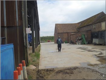
We followed the path through the farm yard and
walked Eastwards along the farm access road for about 150m to a sharp right hand bend.
The path through Rising Sun Farm
Leaving Rising Sun Farm along the access road
|
|
|
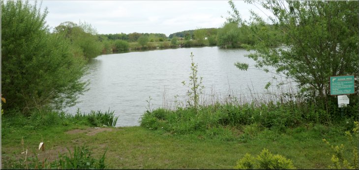
Coarse fishing lake at Rising Sun farm seen from the road
|
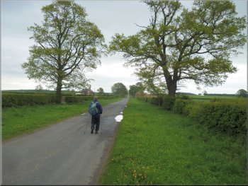
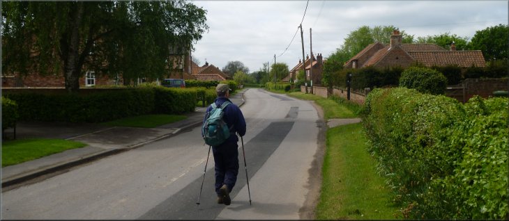
Following 'Straight Lane' towards Aldwark
After about 500m we came to the Aldwark Arms and
the lane where we had parked our car. The whole route had been about 9km and it had taken us three hours to walk it. |
From the bend we followed the road called Straight Lane for about 1km out to the road into Aldwark at
map ref. SE470639. At this road we turned right and walked along the road back into Aldwark.
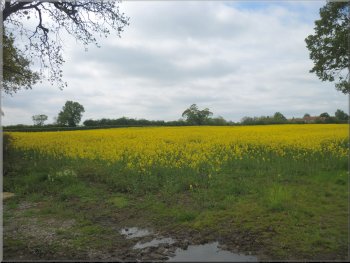
Field of oil seed rape by Straight Lane
|
Returning through Aldwark at the end of our walk
|