| 2001 walks | 2002
walks | 2003 walks | 2004
walks |
| 2005 walks | 2006
walks | 2007 walks | 2008
walks |
| 2009 walks | 2010
walks | 2011 walks | 2012 walks |
| 2013 walks | 2014 walks | 2015 walks | 2016 walks |
| 2017 walks | 2018 walks | 2019 walks |2020 walks |
| 2021 walks | 1993-2000 library | Find a Route Index |
| A few Routes to print out | Request a Route... |
Route No. 517 - Thursday 22 August 2013
Easingwold, Foss Way, Acaster Hill,
North Moor Road,Toft Ings Lane circuit - 11km
Easingwold, Howardian Hills . . .
Route map from Ordnance Survey
Open Space service.
Map: OS Explorer 299 Ripon & Boroughbridge
Note: I walked the first part of this route a few weeks ago with my wife and I have used the photos I took then in the description of today's walk
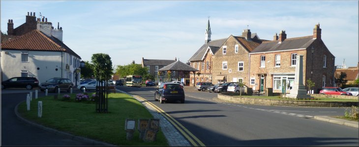
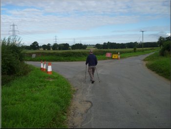
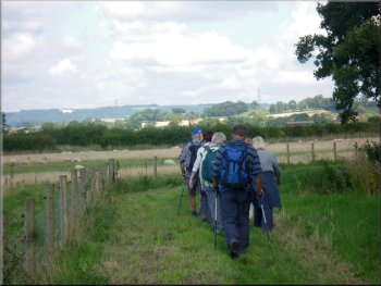
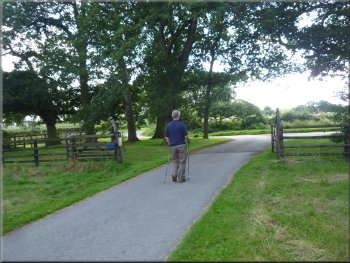
Looking back to the market square in Easingwold as we started our walk
|
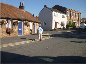
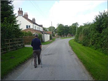
Turning left from Spring Street towards Manor Road
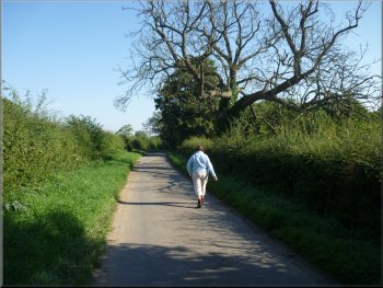
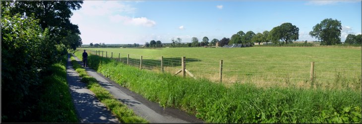
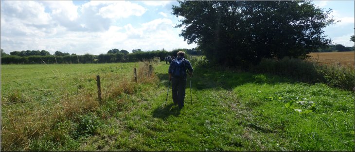
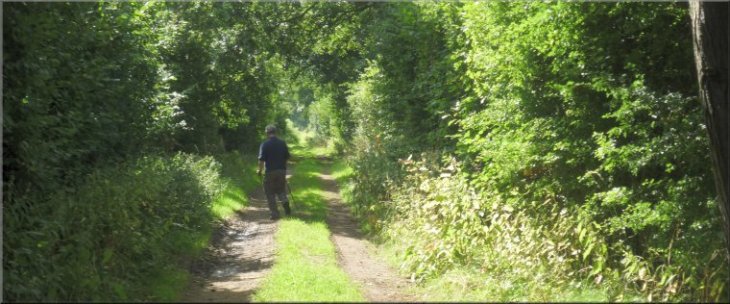
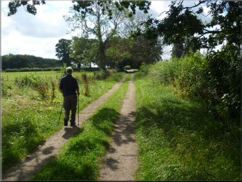
Following the Foss walk route along Millfield Lane
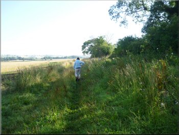
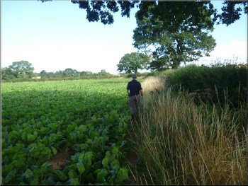
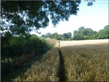
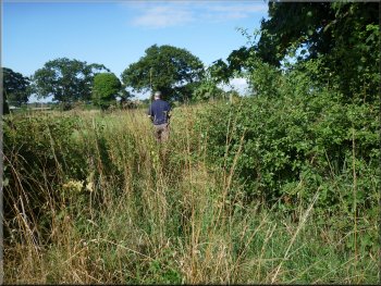
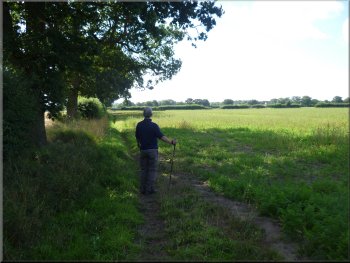
Dog walkers path on the western side of the hedge . . .
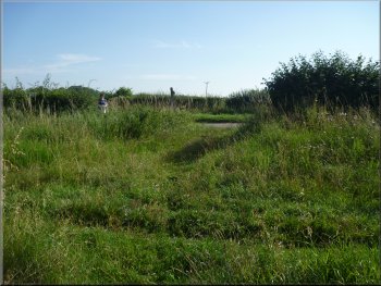
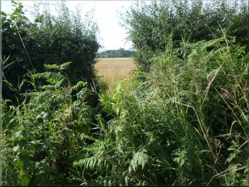
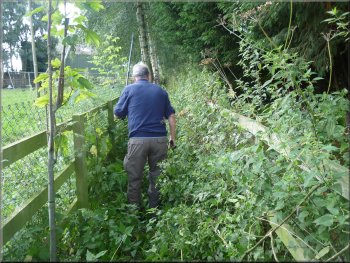
As we walked along Millfield Lane we passed Millfield Wood on the right hand side of the road, a Woodland Trust site. About 1km from the start of Millfield Lane the surfaced road ends and we followed a grassy track between the fields. Where the track becomes a footpath along a field edge it is very overgrown and a well walked dog owners' path has developed on the other side of the hedge which my wife and I used. Today Jim and I used the official path but it was a bit of a struggle through the under growth. Both route emerge into a large wheat field at map ref. SE530712. |
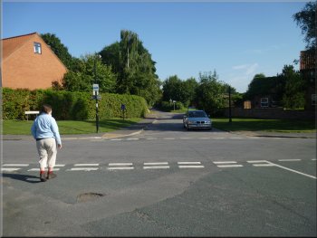
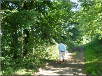
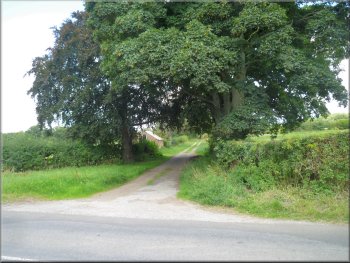
Today my mate, Jim, has to be home at lunch time to help look after his granddaughter so we decided to walk a route from Easingwold market square. It's one of a series of twelve walks available as leaflets from the tourist information centre in Chapel Street. From the market square, at map ref. SE528698, we set off along Spring Street and after about 120m we turned left into a side street that links with Manor Road. We walked along Manor Road to its junction with Church Hill and here we crossed Church Hill into Millfield Lane opposite. The Foss Walk now terminates in Easingwold and its route out of/into the town is along Millfield Lane.
Crossing from Manor Road to Millfield Lane
Millfield Lane after the end of the surfaced road
. . . official public footpath on the eastern side of the hedge
|
Path across the wheat field to the road
|
Path from the wheat field to the road
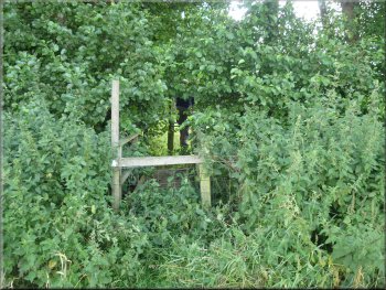
There is no path worn through the wheat field to this stile
Looking back across the clover field to the road
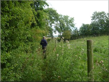
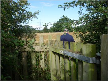
This where the route of the Foss walk comes out to the road from the wheat fields but it clearly is not used. Our route turns right off the road here across a footbridge over a ditch and a stile through the fence in to a field of clover. There was a white marker post in the fence line at the other side of the field and we made our way in single file through the clover to this marker. At the marker there was another footbridge over a ditch and a stile into the next field. We set off across this field and part way across we spotted another white marker strip fixed to a tree next to a footbridge over the River Kyle (just a stream really). |
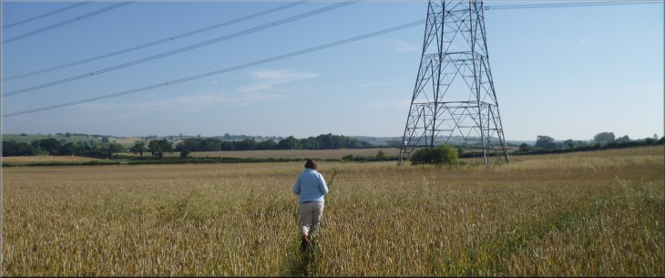
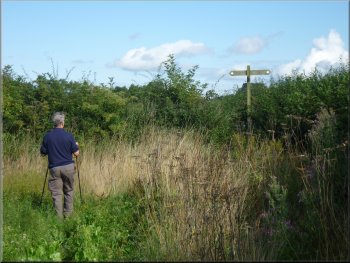
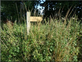
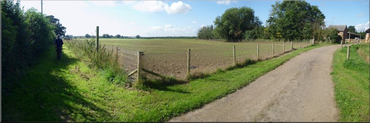
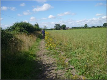
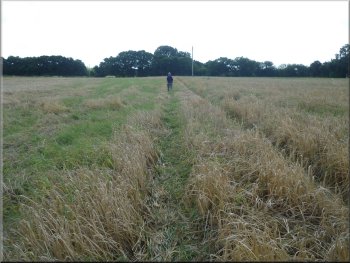
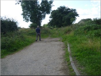
On the map there is a path shown to the left following the field edge down to a road, and there are two path shown crossing the field. Only one of these paths is walked and the way through the ripening wheat was clear to see. We followed this path across the field and under the power lines to the road at map ref. SE533716. At the road we turned left and walked a few metres to a junction. Here we turned left and walked along the lane for about 120m to a footpath sign in the grass verge on the left hand side of the road.
Walking the few metres to the road junction
Stile into the clover field from the road
Footbridge over the River Kyle with white marker on a tree
|
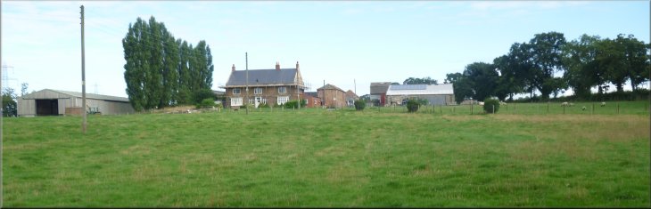
Peep O'Day farm seen from the end of the footbridge
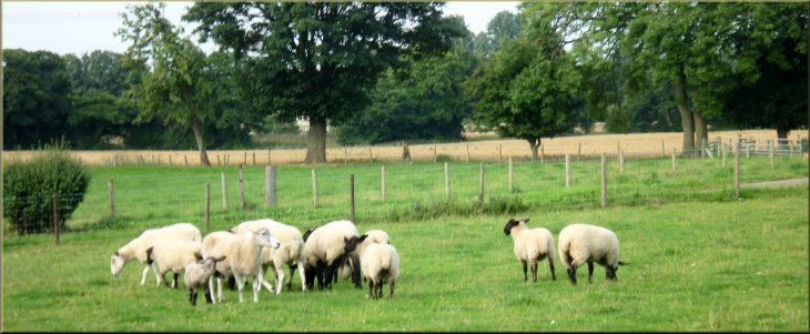
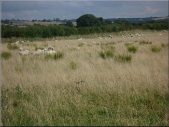
Sheep at Peep O'Day farm
|
Crossing the farm access drive
Path along the field edge from Peep O'Day farm
Path along the field edge from Peep O'Day
Path along the edge of the field
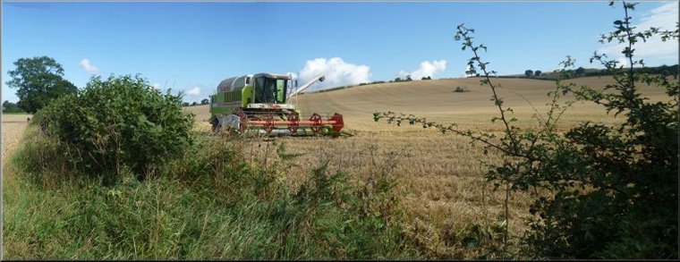
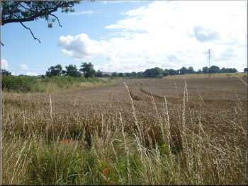
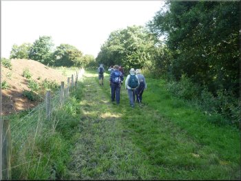
We followed the path along the eastern edge of the fields, and as we approached a large oak tree a barn owl flew out. The owl flew along the hedge top for about 100m to the next large oak tree where is perched. We though we would see it as we passed by but this large white bird sitting in a black oak tree was invisible to us and we continued on our way. There were signs of the cereals harvest in the fields all around. About 1.5km from Peep O'Day farm at map ref. SE523735 there was a sign post at the junction of several paths. |
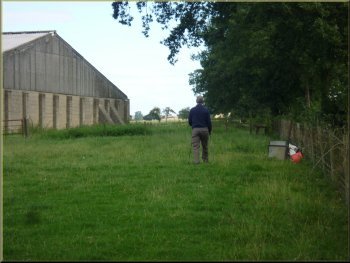
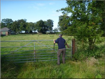
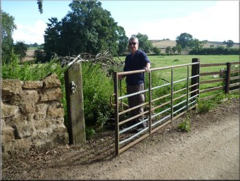
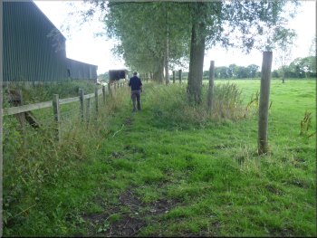
Once over the footbridge we turned left to follow the stream for about 50m to the farm access drive. We crossed the stiles on either side of the drive and followed the field edge around the eastern side of Peep O'Day farm. The route used to go along a track through the farm buildings and has been diverted to the benefit of both farmer and walkers. There was a large herd of beef cattle lying under the trees at the western side of the field but they took no notice of us
Path by-passing Peep O'Day farm
Path along the field edge from Peep O'Day
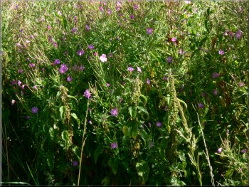
Large white butterfly on the flowers by the path
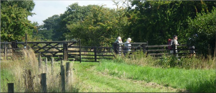
Sign post at the junction of several paths
|
Our turning to Acaster Hill farm
Last field before the road at Acaster Hill farm
Footpath sign by the road at Acaster Hill
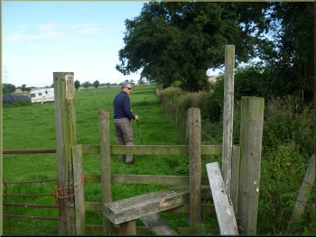
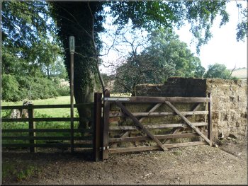
However on the ground the path crossed a small field to join the farm access drive to our right just a few metres from the road. We crossed the road and followed the public footpath opposite along the edge of the field. |
At the sign post we turned left and walked along the field edge to Acaster Hill farm. My map shows the path heading directly to the road.
Path along the field edge to Acaster Hill farm
Gate on to the farm access drive at Acaster Hill
Sign at the continuation path opposite Acaster Hill
|
Track into the field opposite Acaster Hill
|
Crossing the stream to the field where the roe deer appeared
Footpath sign where we emerged onto Woolpots Lane
The deer were a lovely deep russet colour in the sunshine. We followed the path along the field edge to the road called Woolpots Lane. At this lane we turned right and walk about 600m along the lane to Red House. Here we turned left on to Raper Lane. |
We crossed a small stream, and as we entered the field on the other side of the stream two roe deer broke cover from the field hedge and bounded through the wheat before disappearing through a gap in the hedge.
Looking back across the wheat field towards Acaster Hill
Willow herb beside the lane
|
Walking along Woolpots Lane towards Red House
Our turning off Raper Lane just before Woodhouse Grange
|
|
Turning left at Red House

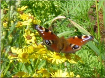
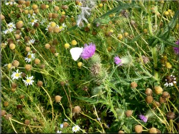
Peacock butterfly on ragwort by the path
After about 600m at map ref. SE517721 we turned right again keeping to the field edge for about 250m to join the access road to Springfields Farm. |
After about 50m, just before Woodhouse Grange we turned right to follow a bridleway along a track at the edge of the fields.
Path across the fields from Raper Lane
Path along the field edge to Springfield Farm
Farm access track from Springfield Farm
|
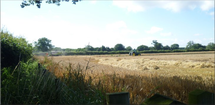
The harvest in progress in the fields by the access track
Start of the permissive path along a 'Conservation Walk'
|
Sheep grazing the rough pasture by the path
Following the permissive path around the field boundaries
Part of the path was beside the grandly named River Kyle, but it's just a stream really. This permissive path brought us back to the farm access road at map ref. SE515715. Here we turned right and walked along the farm access road across a bridge over the River Kyle. |
After about 150m along the access track from Springfield Farm, at map ref. SE515718, we turned right off the access track to follow a mown, fenced, grassy track along the field edge. This is a permissive path along a 'Conservation Walk' but there were no signs at this end of the path. We followed this well maintained path in a loop around the field boundaries for a little over 1km.
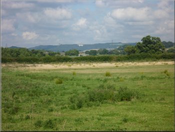
The Kilburn White Horse across the fields to the north
Following the path beside the stream called the River Kyle
|
Rejoining the farm access road at the bridge over the River Kyle (a small stream)
|
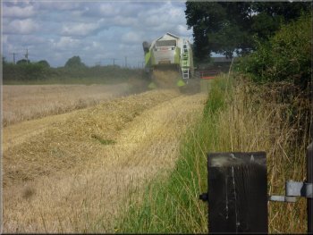
Combining by the track
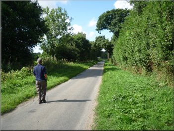
Walking along North Moor Lane
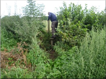
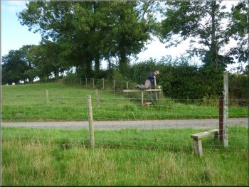
The stile is not easy to spot. It's between two properties and is very overgrown. About 50m beyond the stile there is a wide grass verge and a short length of service road on the left. If you reach this you have passed the stile. |
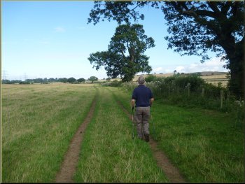
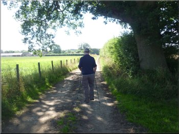
We continued along the farm access road for about 400m to North Moor Lane at map ref. SE517712. Here we turned right and walked along the lane for about 500m to a stile on the left hand side of the road.
Nearing the junction with North Moor Lane
Nearing our turning off North Moor Lane
|
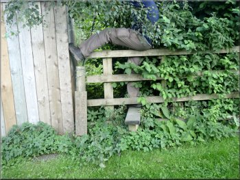
The stile off North Moor Lane was a bit awkward
The overgrown path came out into some pasture land
Overgrown stile across a small stream
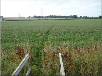
We crossed a small stream at the far end of the field in to the final small pasture field before we reached Thirsk Road. At the road we turned right and walked along the footpath beside the road for about 150m to a track called Toft Ings Lane, on the left hand side of the road. |
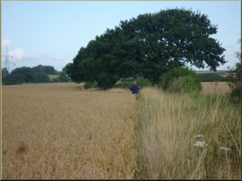
We bashed the worst of the undergrowth with our sticks and made our way along the path. After the first few metres it was easier going and we emerged into pasture land. After the pasture there was a cereal field with no clear path across it so we followed the tractor tracks through the crop.
The first part of the path was quite overgrown
We followed the tractor tracks across this cereal field
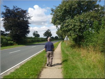
Footpath beside Thirsk Road
|
Toft Ings Lane from Thirsk Road to Raskelf Road
|
Turning off Thirsk Road to Toft Ings Lane
Toft Ings Lane at its junction with Raskelf Road
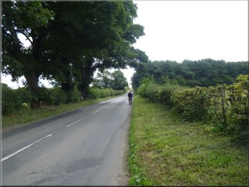
Following Raskelf Road back into Easingwold
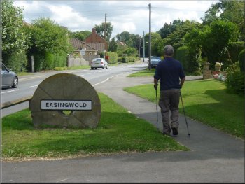
We followed Tanpit Lane down the hill passed the public library and into the Market Square at the end of our walk. The whole route had been 11km and it had taken us about three and a half hours to walk with no significant stops. As we arrived back home Jim's granddaughter was waiting at the front door ready to involve him in an energetic game in the back garden. I just went in home for a cup of tea and an easy chair! |
We turned left to walk along this pretty, leafy lane for about 700m to Raskelf Road at map ref. SE515699. At the road we turned left and followed Raskelf Road back into Easingwold. After about 800m we came to a mini roundabout which we crossed to Church Hill opposite. We followed the road up to the Easingwold parish church of St. John & All Saints. Opposite the church we turned right into Tanpit Lane.
Toft Ings Lane
Following Raskelf Road back into Easingwold
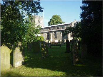
Easingwold parish church, St John & All Saints
|
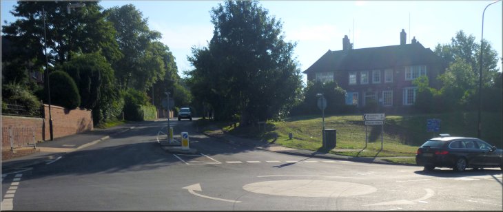
Crossing the mini roundabout from Raskelf Road to Church Hill near the end of our walk
|