| 2001 walks | 2002
walks | 2003 walks | 2004
walks |
| 2005 walks | 2006
walks | 2007 walks | 2008
walks |
| 2009 walks | 2010
walks | 2011 walks | 2012 walks |
| 2013 walks | 2014 walks | 2015 walks | 2016 walks |
| 2017 walks | 2018 walks | 2019 walks |2020 walks |
| 2021 walks | 1993-2000 library | Find a Route Index |
| A few Routes to print out | Request a Route... |
Route No. 535 - Thursday 6 March 2014
B6265 Stump Cross, Pock Stones Moor,
River Washburn - 10km (a linear walk)
Yorkshire Dales . . .
Route map from Ordnance Survey
Open Space service.
Map: OS Explorer 298 Nidderdale at 1:25000
Setting off along the B6265 from our parking spot
|
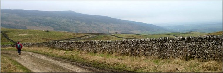
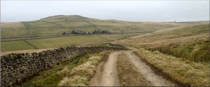
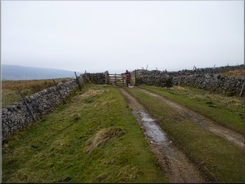
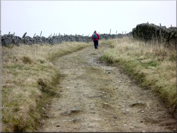
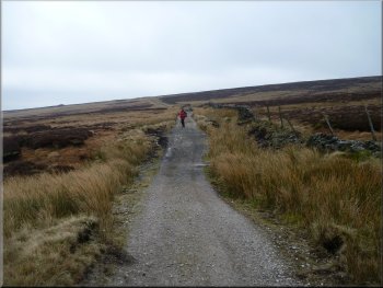
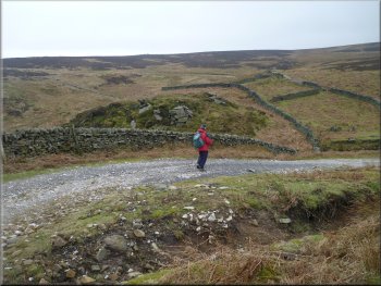
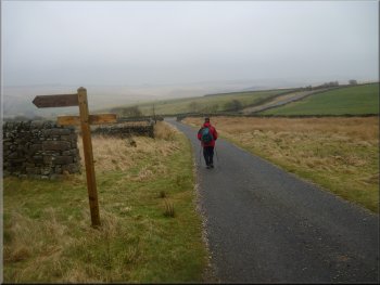
Turning off the B6265 on to the track called Black Hill Road
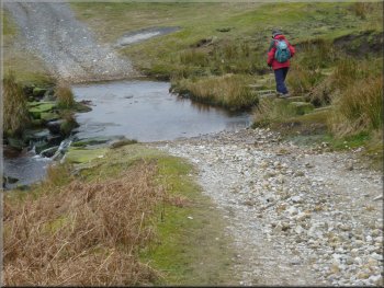
Jim then drove us both back to Greenhow and along the road (B6265), about 500m past Stump Cross Cavern to an area to park off
the road at map ref. SE085634. The weather forecast, which proved to be accurate was for a dull overcast day with a risk of some mist and light
scattered showers. From our parking spot we walked about 200m further along the road to a track off to the left through some iron gates. |
This morning My friend, Jim, and I drove out in our separate cars through Pateley Bridge and up to Greenhow, then along the Blubberhouses road
and off to the right, down to the bridge over the River Washburn. I parked my car in a little informal lay-by just across the bridge on the right at map
ref. SE132596.
Starting to climb up the moor along the Black Hill Road
|
Looking back along the Black Hill Road to the B6265 and Nursery Knott hill beyond
|
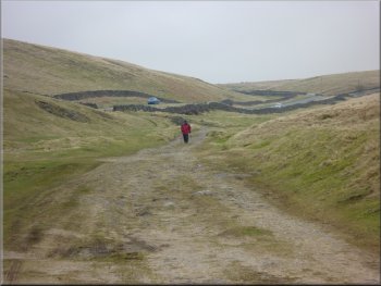
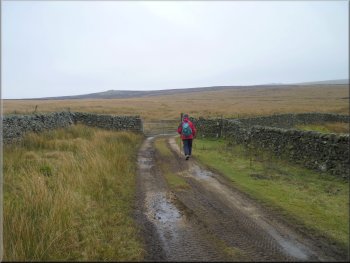
Following Black Hill Road over the moor
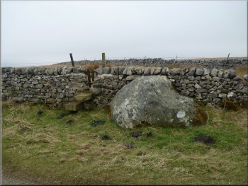
Boulder built into the wall by the track
Approaching the junction in the track
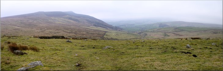
As we followed the track down to the junction we were looking across the valley of
Blands Beck to the ridge topped by the rocky outcrop of Simon's Seat. |
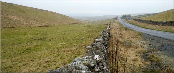
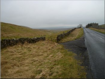
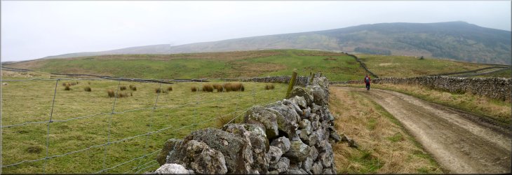
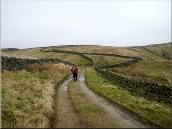
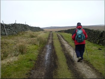
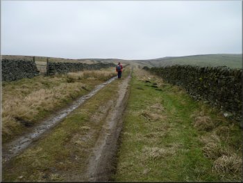
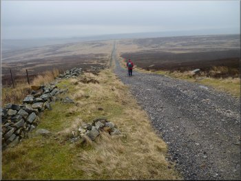
We
followed this track, called Black Hill Road, for about 2.5km climbing up over the moor top with the valley of Skyreholme Beck down to our right and
dropping down to a junction in the track at map ref. SE078615.
Following Black Hill Road over the moor
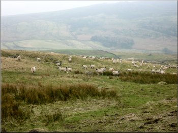
Flock of sheep waiting to be fed
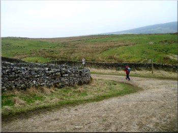
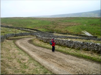
Turning left at the junction
|
|
Looking across the valley to Simon's Seat from the Black Hill Road
|
|
|
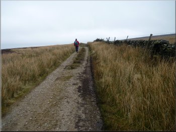
Following the 'Forest Road' up to Eller Edge Nook
Approaching Eller Edge Nook along the 'Forest Road'
Continuing along the moorland track from Eller Edge Nook
Here we met a young woman shepherd on a quad Bike loaded with feed for her sheep. She had stopped to open the field gate which we
offered to close after she had passed through but she said the sheep would just follow the food and then the gate would be open for her return. |
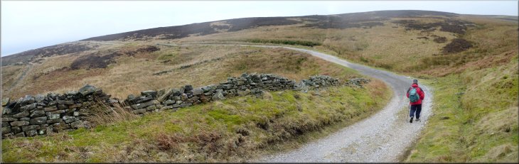
At the junction in the track we turned left and followed the track, now called
Forest Road, climbing up around the moor with the valley of Blands Beck below on our right for about 1.3km to cross the stream at Eller Edge
Nook.
Following the 'Forest Road' up to Eller Edge Nook
Shepherd arriving to seed the sheep
Continuing along the moorland track from Eller Edge Nook
|
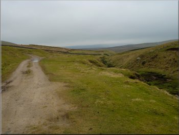
Misty view of Simon's Seat from the track over Pock Stones Moor
|
Track over Pock Stones Moor
Track over Pock Stones Moor
This
outcrop marks the North Eastern end of the ridge that includes the larger outcrops of Simon's Seat, and about 500m to our right, the Great Pock
Stones. There was a cold wind so we found a sheltered spot amongst the rocks to sit for our lunch. |
We
continued along the moorland track for another 2km with a wall on our right and an open view across the moorland away to our left. Here the track
made a gentle right hand bend and just off the track on the left was a rocky outcrop at map ref. SE106607, called the Little Pock Stones.
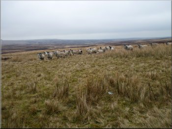
Sheep on Pock Stones Moor waiting to be fed
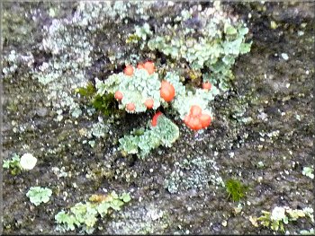
Devil's matchstick lichen with bright red caps on the branches
|
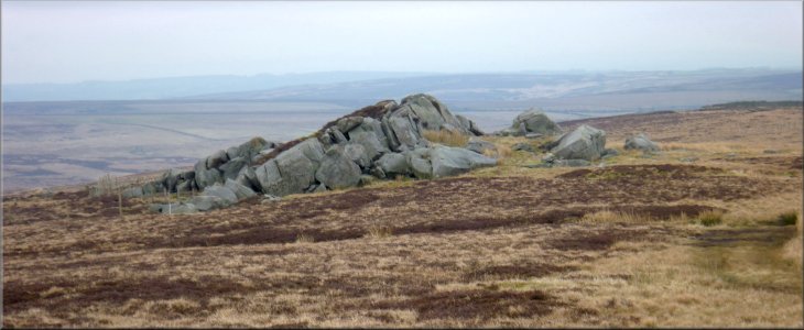
The "Little Pock Stones" where we had our lunch on Pock Stones Moor
|
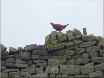
Male grouse with his red combs on a wall top by the track
Dropping down to cross the head of Harden Gill
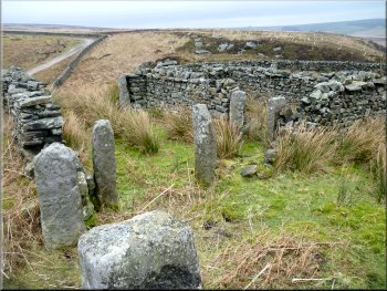
Remains of old sheep handling pens
There were some substantial stepping
stones to cross Harden Gill Beck and then the track continued in a more easterly direction for about 1.5km to a minor road at map ref. SE128593. |
After our break we continued along the
moorland track now heading south east for about 1.5km to cross the head of a little valley called Harden Gill.
Long straight track leading to Harden Gill
Stepping stones across Harden Gill Beck
Long straight track leading out from Harden Gill to the road
|
Track starting to climb up from Harden Gill heading towards the road
|
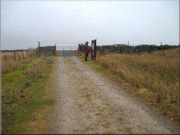
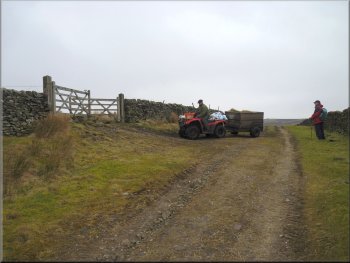
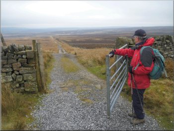
Gate & information board on the way out to the road
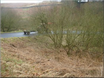
Tractor & trailer on the road to the River Washburn bridge
Then we both drove back into Pateley Bridge for a coffee and
toasted teacake before returning home. The whole walk had been 10km and it had taken us about three and a half hour to walk including our lunch
stop. A very pleasant route over this high moorland despite the gloomy weather limiting the views. |
At the road we turned left and walked along the road for about 500m to the bridge over the River Washburn where I had left my car. From there we
drove back through Greenhow to collect Jim's car from the start of our walk.
Metalled track leading out to the road
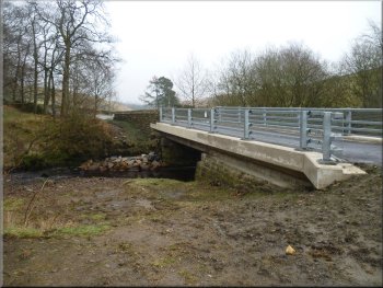
Newly reconstructed bridge over the River Washburn
|
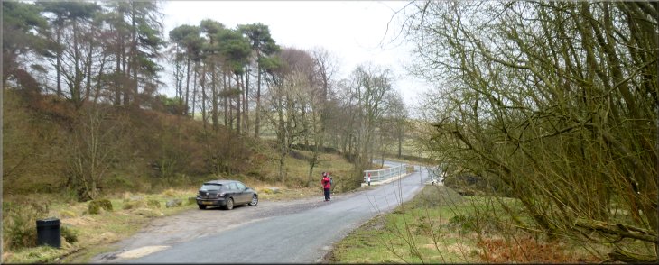
Our parking spot off the road by the River Washburn bridge at the end of our walk
|