| 2001 walks | 2002
walks | 2003 walks | 2004
walks |
| 2005 walks | 2006
walks | 2007 walks | 2008
walks |
| 2009 walks | 2010
walks | 2011 walks | 2012 walks |
| 2013 walks | 2014 walks | 2015 walks | 2016 walks |
| 2017 walks | 2018 walks | 2019 walks |2020 walks |
| 2021 walks | 1993-2000 library | Find a Route Index |
| A few Routes to print out | Request a Route... |
Route No. 549 - Saturday 10 May 2014
Taddington, Monsal Trail, Litton Mill, River Wye,
Cressbrook, Monsal Dale circuit - 13km
Derbyshire Peak District . . .
Route map from Ordnance Survey
Open Space service.
Map: OS Explorer OL24 The Peak District White Peak area
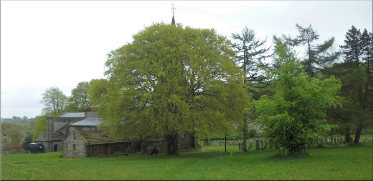
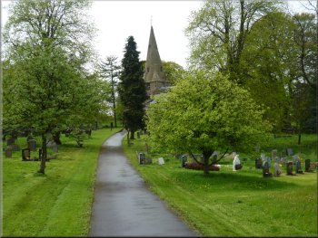
St. Michael's Parish Church in Taddington seen from the footpath through the churchyard
|
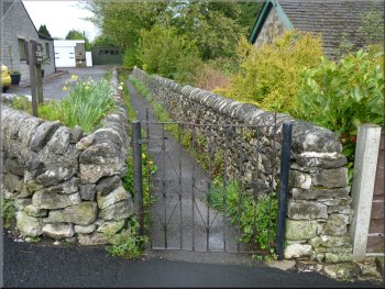
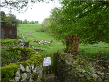
Alleyway from the road to the churchyard
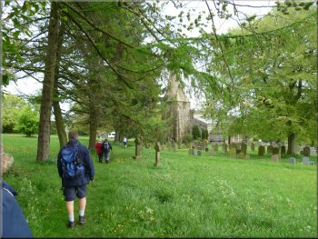
Footpath through the churchyard
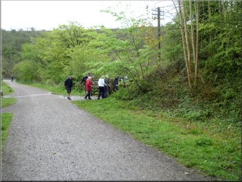
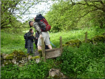
We parked on the roadside near the church at map ref. SK139711.
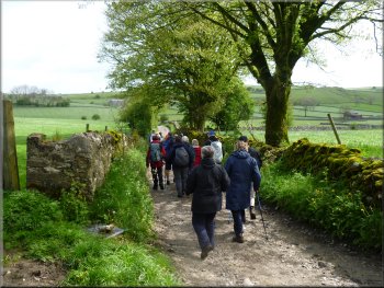
We walked down the road for about 100m to an alleyway on the left leading into the churchyard. We turned along the alley and followed the path
through the churchyard to the A6. It's a busy road with fast traffic and we waited patiently for a suitable gap in the traffic to cross.
|
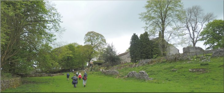
My wife and I are spending this weekend with a group of friends in a huge holiday cottage near Alport in Lathkill Dale in the Derbyshire Peak District
(well it's an old manor house fitted out with all mod cons including an operational hot tub in the courtyard!). This morning we all fitted into three cars
and drove to Taddington, a village off the A6 about 7km northwest of Bakewell.
St. Michael's church
Crossing the A6 Taddington by-pass
|
Walled track on the far side of the A6
Path through Rock Lodge Farm
The track called Broadway Lane
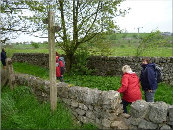
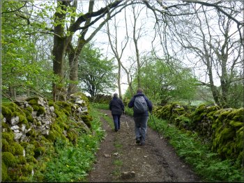
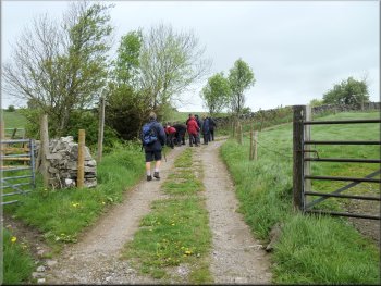
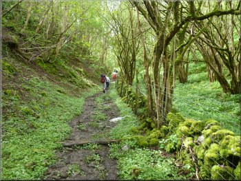
We turned right to walk along Broadway Lane for about 450m to a right hand bend in the
lane. Here we kept straight on for about 400m and just before a right hand bend in the track we crossed stile on the left a path across the limestone
grasslands above the Wye valley. This is the Priestcliffe Lees nature reserve managed by the Derbyshire Wild Life
Trust. |
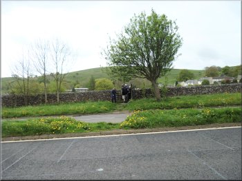
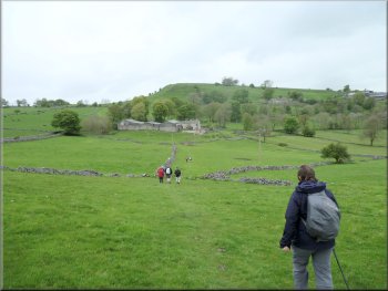
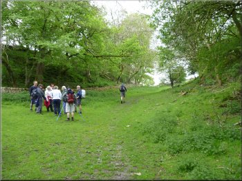
On the other side of the A6 we crossed a stile on to a walled track. After a few metres we turned right off the track over another stile to a path across
the fields that led us through Rock Lodge Farm. We continued along the track past the back of Rose Farm and another 250m further on we turned left
along a track to join Broadway Lane at map ref. SK142704.
Path across the fields to Rock Lodge Farm
The track from Rock Lodge Farm
Stile off the lane to the Priestcliffe Lees nature reserve
|
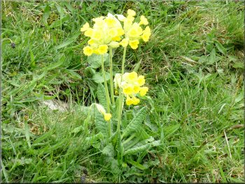
Cowslips in the nature reserve
|
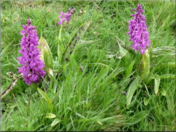
Common spotted orchids in the nature reserve
|
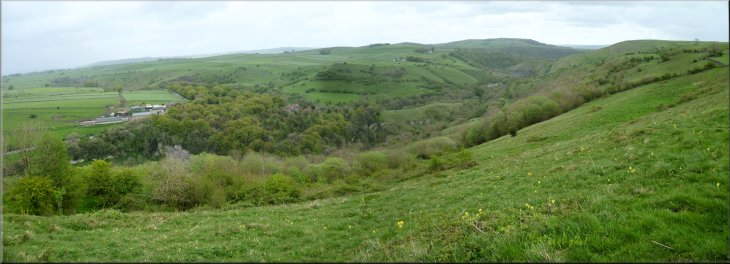
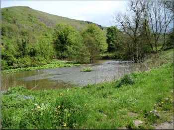
Looking across the Wye valley from the Priestcliffe Lees nature reserve
|
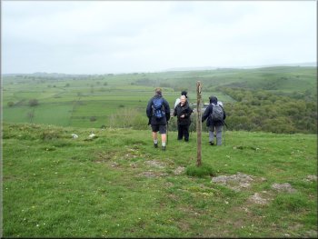
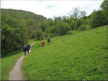
Enjoying the view from the nature reserve
Dropping down through the woods to the Monsal Trail
The woodland path emerged on to the Monsal Trail
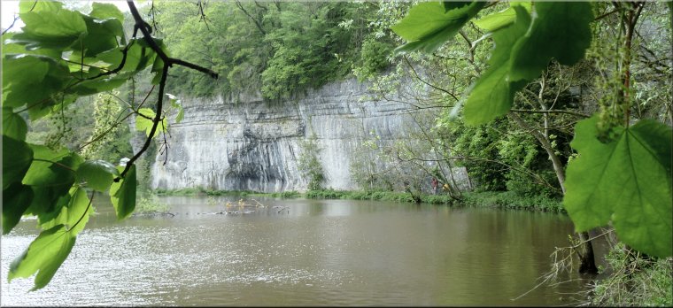
We followed a path
down through some woodland to a footbridge over the River Wye at map ref. SK159730. I crossed this bridge a couple of weeks ago and the water
was crystal clear with numerous large trout visible in the water below the bridge. Last night there was heavy rain and the river was now chocolate
brown with the run-off from the hillsides. |
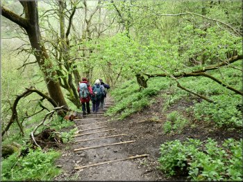
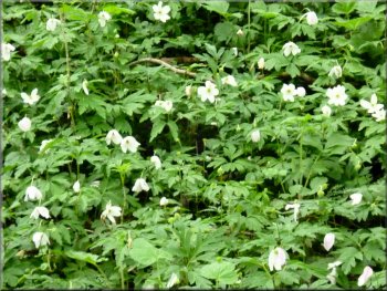
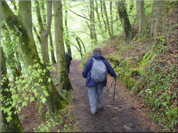
We followed the path down the steep hillside, through woodland with a carpet if wood anemones and after a long descent we reached the Monsal
Trail at map ref. SK151730, along the bed of a disused railway in the Wye valley. Here we turned right to walk along the Monsal Trail. We followed the
Monsal Trail for about 700m, then, just after we had passed under a bridge over the old railway we turned left off the railway path.
Heading down to the Monsal Trail through the nature reserve
The woodland floor was covered with anemones
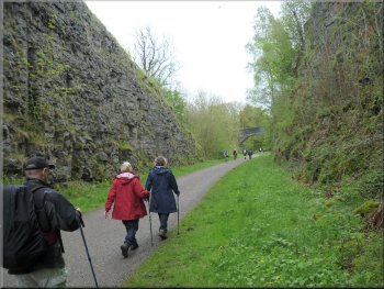
Monsal Trail passing through one of the old railway cuttings
|
Path from the Monsal Trail down to the R. Wye at Litton Mill
|
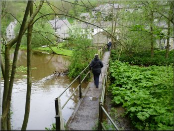
Footbridge over the River Wye at Litton Mill
|
Permissive path through the yard of Litton Mill
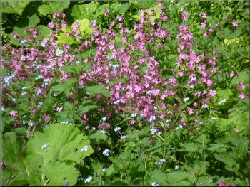
Red Campion by the path
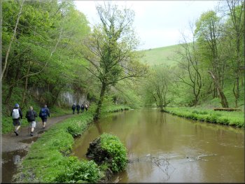
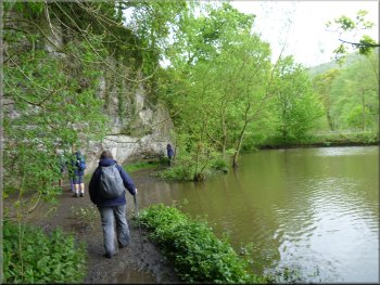
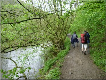
The River Wye between Litton Mill and Cressbrook
This is a
really beautiful stretch of river with path down at river level and limestone cliffs and wooded hillsides rising up on both sides of the river. We followed
this lovely path for about 2km to Cressbrook. |
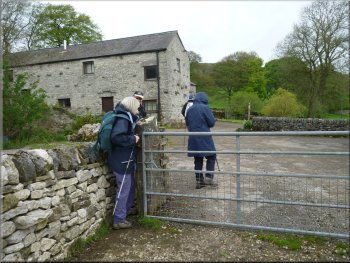
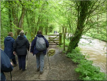
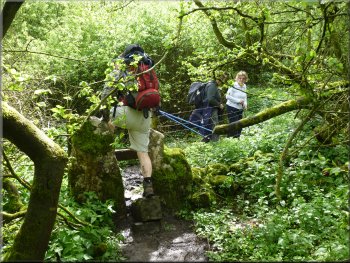
We crossed the footbridge to the road and turned right to walk along the road for about 50m to the entrance to Litton Mill. The mill has been
converted to apartments and we followed a permissive path through the mill yard to a path along the bank of the River Wye beyond the mill.
Path by the River Wye from Litton Mill
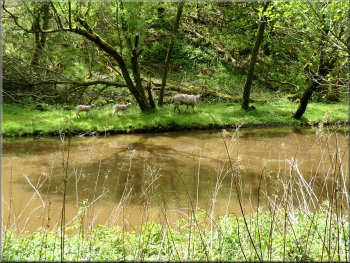
Ewe leading her lambs along the river side
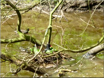
Pair of moorhens building their nest
|
The River Wye at Cressbrook
|

The River Wye at Cressbrook - path is at the foot of the cliff
|
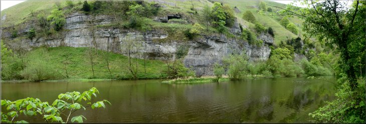
The River Wye between Litton Mill and Cressbrook
|
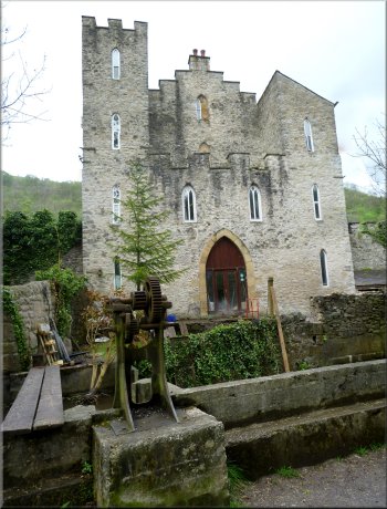
House by the path at Cressbrook
Start of the track climbing up from the river
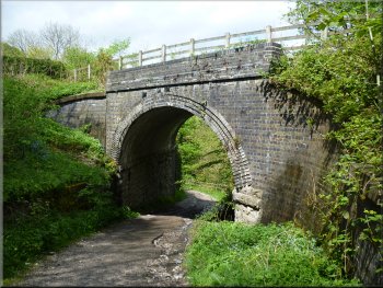
Looking back to the railway bridge over the track
At the crossroads we turned right and crossed River Wye on the road bridge. Immediately across the river the surfaced road ends and there
is a stony track that turns left and begins to climb up the hillside. We followed this track as it climbed up under the old railway carrying the Monsal Trail.
Once we were under the bridge and along the track now level with the railway we turned left off the track to join the Monsal Trail along the railway. After
about 400m along the old railway we came to the start of the railway viaduct across Monsal Dale at map ref. SK181716. |
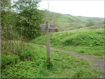
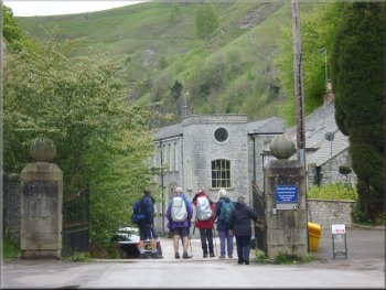
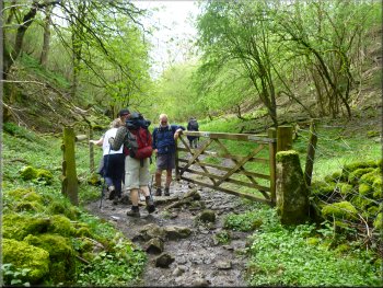
The path led us to the road in Cressbrook and we continued along the road down the valley past Cressbrook Mill which is also now apartments. We
walked along the road for about 600m from the mill to a crossroads at map ref. SK177721, about 80m beyond a small car park on the right hand side
of the road.
Road along the valley from Cressbrook
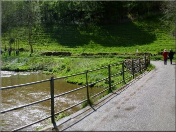
Bridge over the River Wye
River Wye below the bridge
Our turning off the Monsal Trail at the start of the viaduct
|
Path from the viaduct down to the river side
Path from the viaduct down to the river side
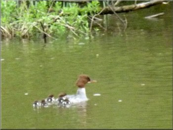
Female Goosander with her brood approaching the weir
As it got closer we recognised it as a female goosander with its chocolate brown head and grey neck and a
brood of about seven brown ducklings sometimes swimming close behind and sometimes riding on the duck's back. At the weir the duck pause
briefly and then edged towards the cascade. Then the current caught the ducklings and they were all swept over into the white water torrent. The
mother duck quickly followed and with no fuss collected all her young from the white water below and continued downstream. All the tiny balls of
brown fluff seemed to be none the worse for their trip and we saw them all again further downstream. |
At the start of the railway viaduct over the River Wye we turned right off the Monsal Trail to follow a public footpath down to the riverside. We followed
the path through this lovely valley with its wooded slopes and the river winding its way along. About 500m from the viaduct we came to a large curved
stepped weir with an overall drop of about 3m. As we stood watching this turbulent cascade a large duck with its brood was approaching along the
river travelling quickly in the fast current.
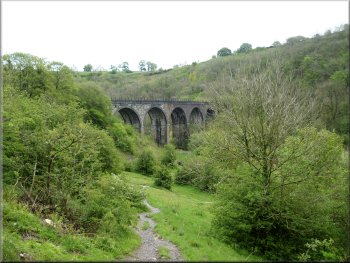
The viaduct taking the Monsal Trail over the R. Wye
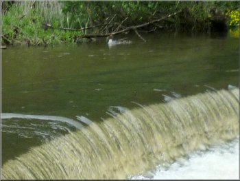
Weir on the R. Wye
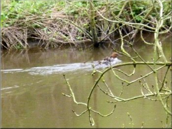
Last glimpse of the goosander & family downstream of the weir
|
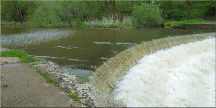
High curved weir on the River Wye that the goosander & family swam over with out coming to any harm
|
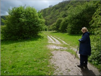
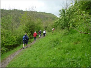
Path along Monsal Dale

Path along Monsal Dale heading for the A6

Crossing the A6
Once across the road we continued along the path opposite. After about 200m we turned right to follow a path climbing up the hillside. |
We continued along the path down the valley for about 2km from the viaduct to the A6 at map ref. SK170706. We crossed the busy road.
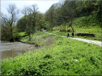
Path along Monsal Dale by the River Wye
Stile through the wall on to the A6
Turning off the valley path to climb up the hillside
|
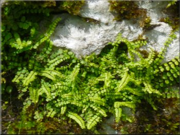
Fern & moss growing in a crack in the rocks
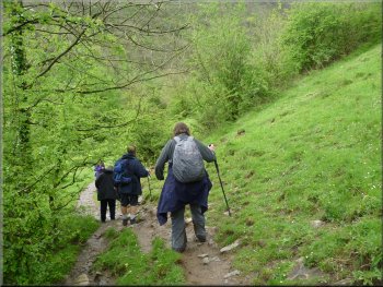
Path up the side valley through the woods
Path up the side valley through the woods
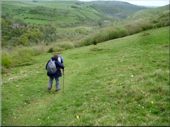
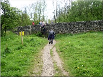
This path led us up a side valley, through some woodland where there was the continual sound of a woodpecker as we passed through the wood and then crossed the fields up to Taddington Field Farm at map ref. SK160705. |
We followed the path contouring around the hillside and after about 200m we turned right to follow another path climbing straight up the hillside.
Path up the side valley through the woods
Path up the side valley through the woods
Path heading for Taddington Field Farm
|
Path passing the side of Taddington Field Farm
|
Looking back to the gate from the path to the farm access road
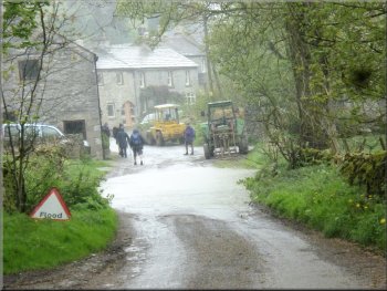
Flooded road as we entered Taddington
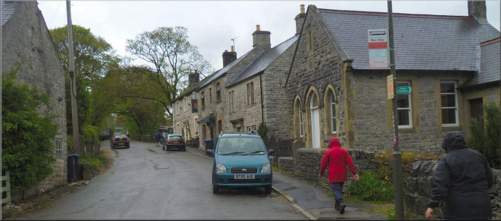
As we approached Taddington the rain started again and we paddled through the flood and walked along the village street for about 600m past the church and back to our parking spot at the end of our walk. The whole route had been 13km and it had taken us a little over five hours to walk. |
The path passed the side of the farm and joined the farm access lane which we followed for about 700m to a minor road. At the road we turned right and followed the road to the edge of Taddington. Here the road was flooded, probably from the heavy rain last night.
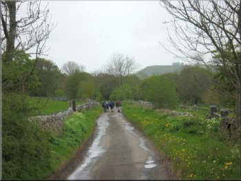
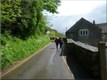
The road back to Taddington
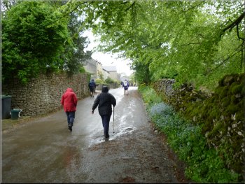
The road through Taddington village in the rain
|
The road through Taddington village in the rain as neared our parking spot at the end of the walk
|