| 2001 walks | 2002
walks | 2003 walks | 2004
walks |
| 2005 walks | 2006
walks | 2007 walks | 2008
walks |
| 2009 walks | 2010
walks | 2011 walks | 2012 walks |
| 2013 walks | 2014 walks | 2015 walks | 2016 walks |
| 2017 walks | 2018 walks | 2019 walks |2020 walks |
| 2021 walks | 1993-2000 library | Find a Route Index |
| A few Routes to print out | Request a Route... |
Route No. 603 - Thursday 10 December 2015
Lockton, Westfield Lane, Cross Dale, Farwath,
St Mary's Valley Church, Mill Bank Road circuit - 6km
North York Moors . . .
Route map from Ordnance Survey
Open Space service.
Map: OS Explorer OL27 North York Moors Eastern area
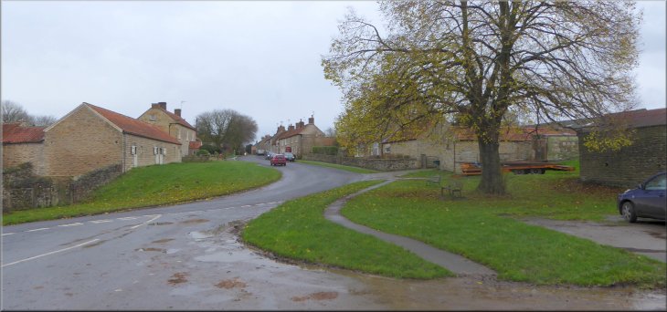
The main street in Lockton seen from the little green in front of the cafe
|
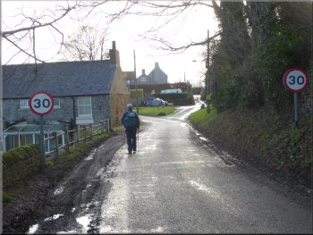
Setting off along the lane in front of the cafe (Hudgin Lane)
(Parking in Lockton can be a bit awkward and we usually park off the road at
the eastern end of the village opposite the cemetery) From the cafe we set off along the narrow road past the cafe for about 100m to a road junction
where we joined Westfield Lane heading south from the village. |
This morning my friend Jim and I drove to Lockton off the Pickering to Whitby road and managed to park at the bottom end of the village (map ref. SE
841 899) near the cafe. The cafe is not open much at this time of year.
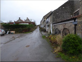
The start of Westfield Lane from the junction
|
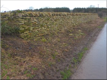
Reconstructed dry stone wall on Westfield Lane
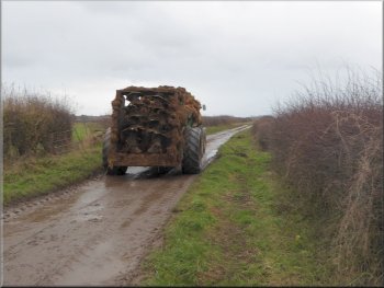
We kept close to the hedge as this muck spreader passed by
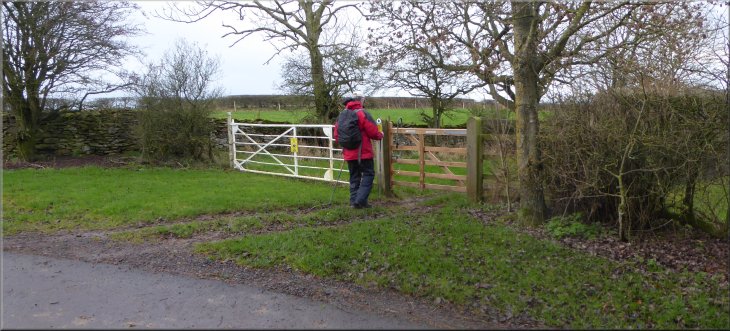
At the bend in the
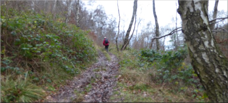
lane we turned right off the lane through a gate to follow a public bridleway. |
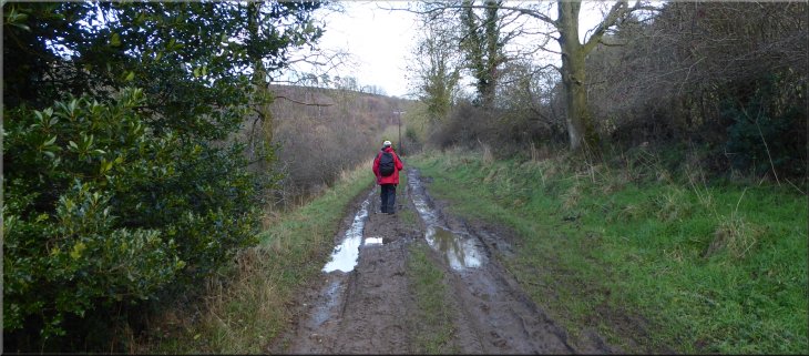
We followed this lane for almost 2km, past Crossdale Head caravan site, to a left hand bend in the lane at map ref. SE 841 882.
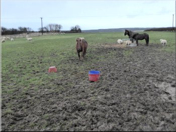
Muddy pasture land after all the recent rain
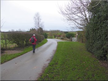
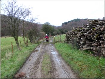
Passing Farfields farm along Westfield Lane
|
Turning off Westfield Lane to head down Cross Dale
|
The track down Cross Dale
Steep descent down Cross Dale
Here we
followed the track to the right for another 450m to map ref. SE 830 883 heading towards Farwath. |
The bridleway led us along a track down a steep little valley called Cross Dale. After about 700m we reached the bottom of the steep slope.
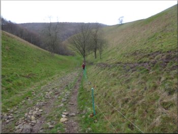
Steep descent down Cross Dale
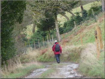
Track heading towards Farwath
|
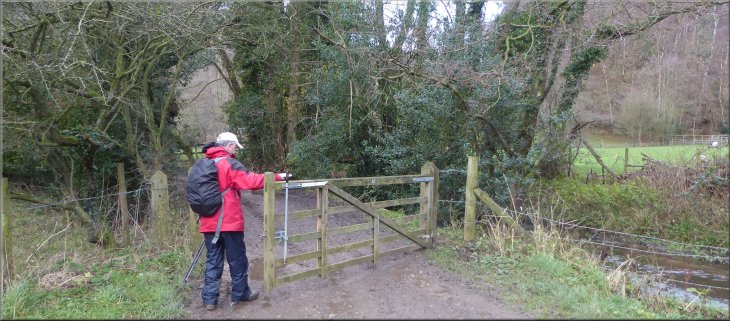
The track into Farwath farm
|
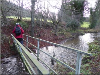
Footbridge to the right off the track into Farwath
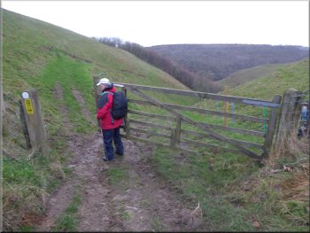
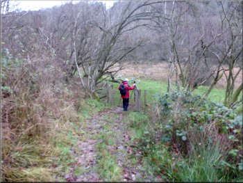
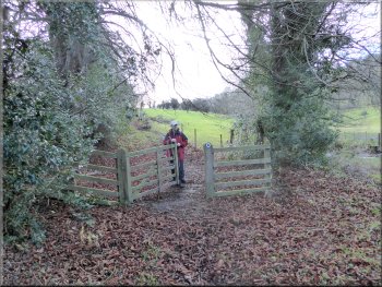
We came to a pedestrian gate at the opposite side of the field
only to find it was securely fastened by a large chain and padlock. We climbed the post and rail fence next to the gate and continued on a bridleway
climbing up the hillside. |
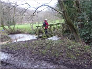
Here we turned left through a gate across the track. A few metres along the track from the gate we turned right off the track to follow a path across a
footbridge over Levisham Beck. From the footbridge we continued for about 50m across the field.
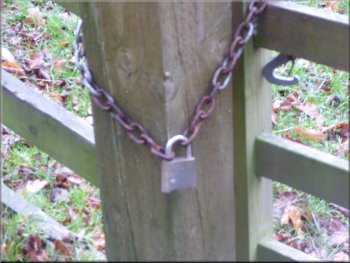
Padlocked gate on the public footpath
|
Following the bridleway up the hillside from the padlocked gate
|
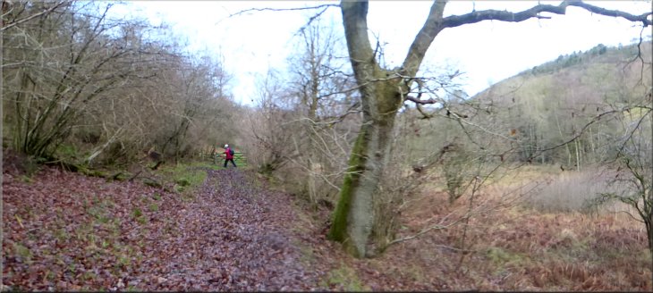
The bridleway along the edge of the woodland
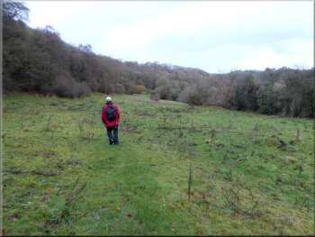
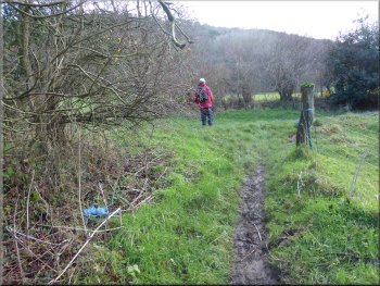
The going underfoot was easier across this grassland . . .
Turning down to the Valley Church
It
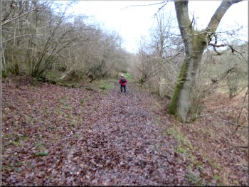
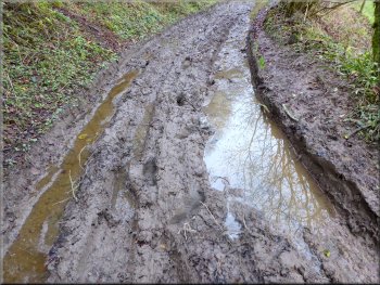
was hard work just keeping my balance plus hauling my boots out of the mud at every step. We continued along this muddy track for about 1.7km to a
junction in the track at map ref. SE 832 901. |
Normally this would be a very pleasant route following the valley of Levisham Beck up stream along the bottom edge of the open access woodland
on the valley side. But we have had a very wet six weeks since the beginning of November and the bridleway turned out to be a sloppy quagmire.
The carpet of leaves covers a deep layer of soft black mud
. . . then we were back to a muddy track
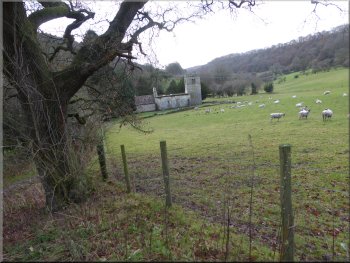
Approaching the Valley Church of St. Mary
|
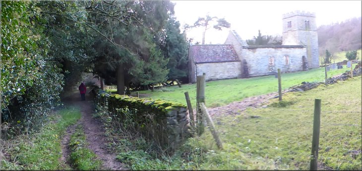
The Valley Church of St. Mary next to the track
|
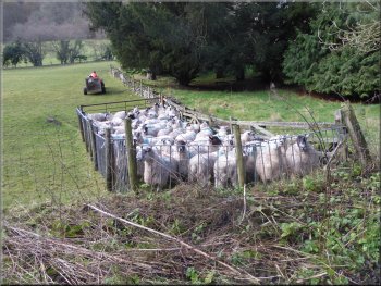
Shepherd backing his trailer up to unload a new tupp
Track up to join Sleights Road
He and his dog herded the flock into a pen in the corner of the field and the released a tupp from the
quad bike trailer into the pen. He then entered the pen to grab another tupp that had bee running with the flock and loaded him into the trailer. Then the
flock and the new tupp were released back into the field. I assume the old tupp was not doing his job and is destined for the chop! We continued
across the footbridge and up the track called Sleights Road.
|
At the junction we turned right and followed the track down the slope to the ruined Valley Church of St. Mary on the right of the track. There's an
information board about the church and its origins and we had a look around the cemetery and the ruins before continuing along the track to a
footbridge over Levisham Beck. To the right of the track as we approached the bridge a shepherd on a quad bike with his sheepdog was rounding up
a flock of sheep in the field next to the track.
Footbridge over Levisham Beck
About to turn left onto Sleights Road track
|
Following the Sleights Road track out to Mill Bank Road
|
|
|
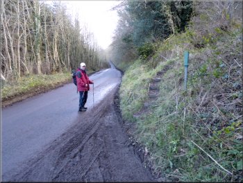
Joining Mill Bank Road from Sleights Road track.
Note the steps up the bank on the right that climb the hillside to Lockton
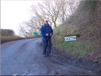
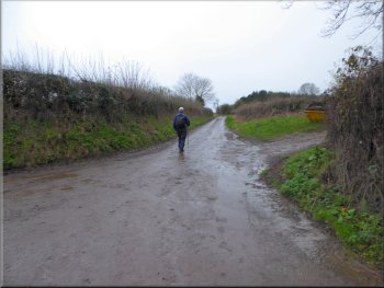
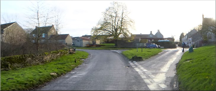
Lockton boundary sign at the top of the hill
We followed the road, called Mill Bank Road up the steep climb to Lockton village and round the bend to the little
green by the cafe where we had started our walk. The whole route had been only 6km but it had taken us over two and a half hours to walk in the very
muddy conditions. |
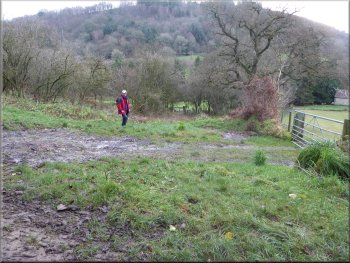
At this track we turned left and followed the track out to the road at map ref. SE 835 900. As we met the road there was a footpath up some steps on
the right of the track. This is the start of a steep path up to Lockton village. We decided to stay on the road today because the path would have been
very muddy and difficult to climb
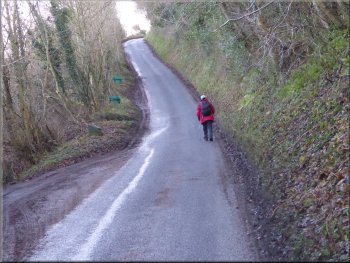
Climbing Mill Bank Road back to Lockton
Following Mill Bank Road into Lockton at the end of our walk
|
Returning to the little green in front of the cafe at the end of our walk
|