|
2001 walks |
2002
walks |
2003 walks |
2004
walks |
|
2005 walks |
2006
walks |
2007 walks |
2008
walks |
|
2009 walks |
2010
walks |
2011 walks |
2012 walks |
|
2013 walks |
2014 walks |
2015 walks |
2016 walks |
|
2017 walks |
2018 walks |
2019 walks |
2020 walks |
|
2021 walks |
1993-2000 library |
Find a Route Index |
|
A few Routes to print out |
Request a Route... |
Route No. 707 - Thursday 15 February 2018
Butts Lane, River Tees, Teesdale Way,
St. John the Baptist Church Egglescliffe
5km circuit - Cleveland. . .
Route map from Ordnance Survey
Open Space service.
Map: OS Explorer 304 Darlington & Richmond
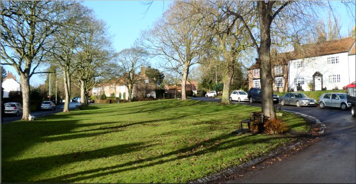
The tree-lined green on Butts Lane where we parked
|
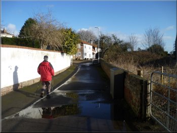
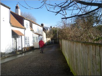
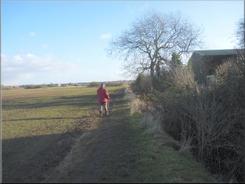
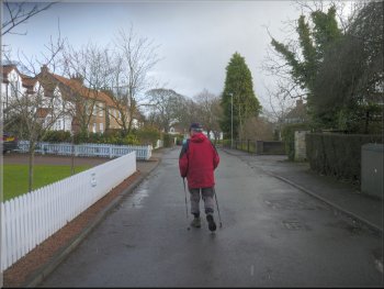
Following Butts Lane from our parking spot
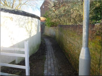
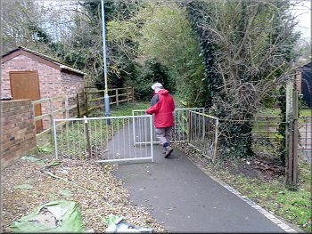
The alleyway from Butts Lane to Back Lane
From our parking spot we walked along Butts Lane from the south east corner of the green where we had parked. The lane took us in front of a row of cottages to an alleyway at the far end of the cottages. We walked through the alleyway to join Back Lane and we walked up a short slope to a farm entrance on our right. |
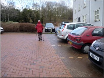
Jim's injured knee is much improved from last week so this morning Jim and I drove to Egglescliffe on the north Bank of the River Tees and parked by a little green, tree lined area on Butts Lane at map ref. NZ 423 131. The weather forecast was very mixed for today with lovely bright blue skies interspersed with dark clouds and wintry showers with a biting wind.
Approaching the alleyway at the end of Butts Lane
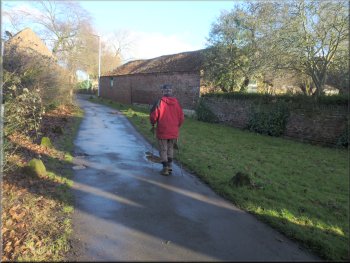
Following Back Lane to the farm entrance
|
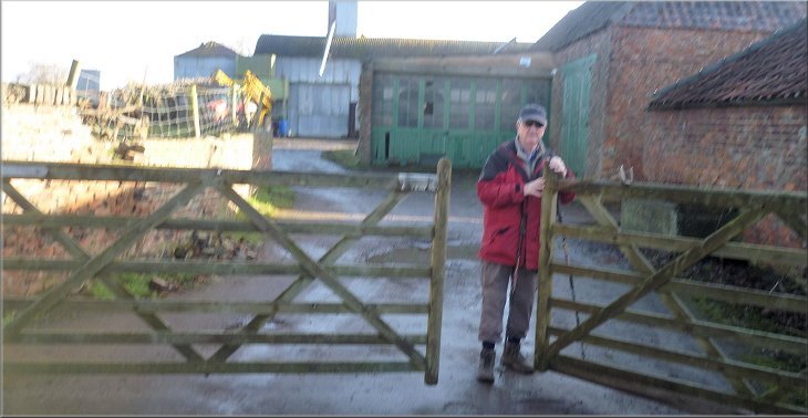
Entering the farmyard off Back Lane
|
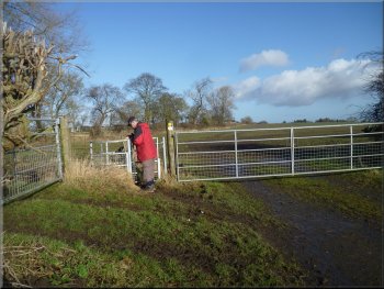
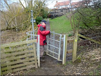
Gate from the farmyard into the fields
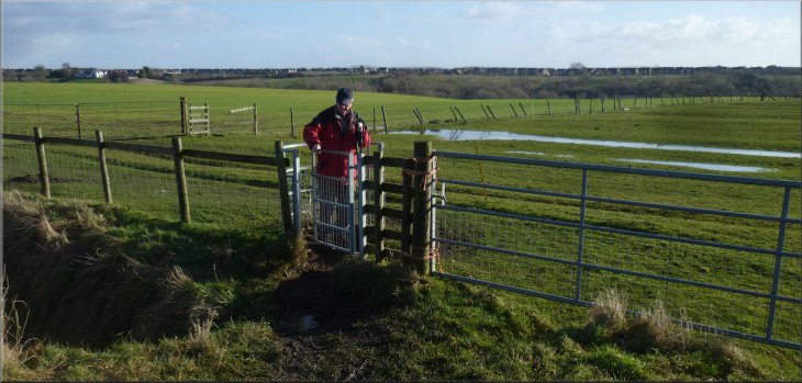
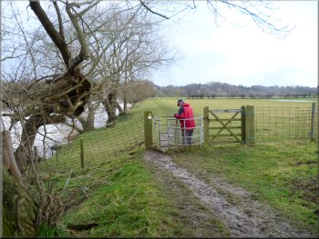
Then we followed a path along the edge of the field past the farm buildings. At the end of this field we came to another steel gate with a kissing gate on the left hand side. |
We went through the double gates and walked into the farm yard where we turned left to a steel field gate & kissing gate into a field. Through the gate we turned sharp right.
Path along the field edge past the farm buildings
|
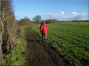
At the end of the field we turned left through this gate and continued along the field edge
|
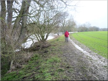
Path along the field edge heading for the River Tees
Both Jim & I slipped and fell in the mud at different times as we picked our way along the route. We followed the path along the edge of the field for about 750m from the kissing gate to the north bank of the River Tees at map ref. NZ 430 138. |
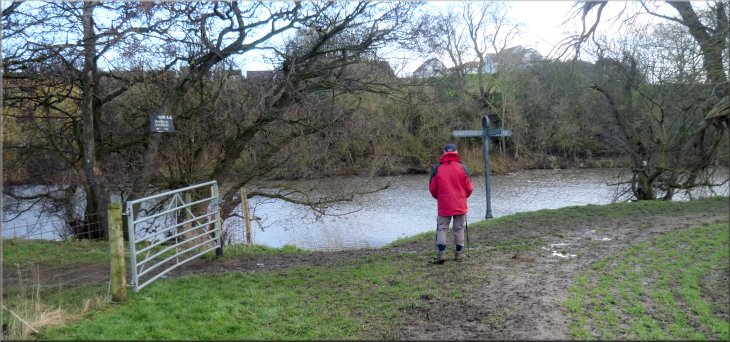
We passed through the kissing gate and turned left to continue along the path at the edge of the field. It turned out that all the paths on today's walk were very muddy after a rainy week.
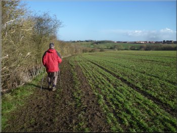
Path along the field edge heading for the River Tees
|
Joining the Teesdale Way along the bank of the River Tees
|
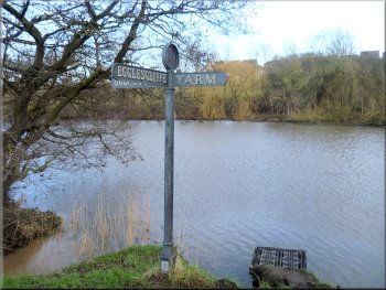
This finger post informed us we were heading for Yarm
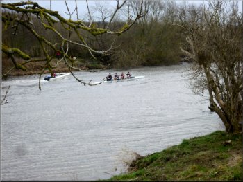
Rowing crew & trainer‘s launch passed us
Continuing along the Teesdale Way
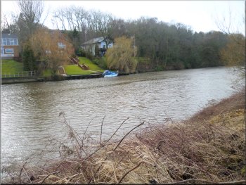
As we walked along the river bank a couple of rowing crews accompanied by a small motor launch passed us. A little way further on, after about 1km along the river bank, we came to the mouth of the River Leven on the far side of the Tees at map ref. NZ 430 127. |
We turned right here to follow the path heading for Yarm according to the large finger post on the bank of the River Tees. This path is part of the Teesdale Way (148km from Dufton in Cumbria).
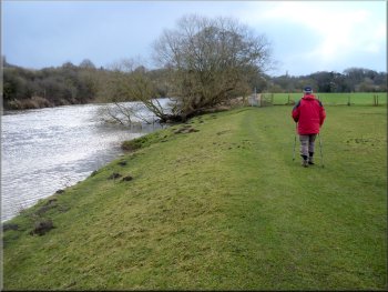
The Teesdale Way along the river bank
Continuing along the Teesdale Way
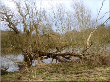
There were large willow trees along the river bank
|
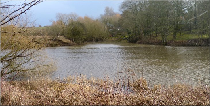
We passed the confluence of the River Leven with the River Tees
|
The large houses in Yarm had a boat moored at their jetty
Fine oak tree by the riverside path
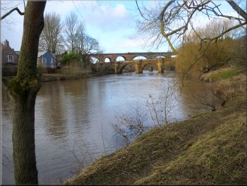
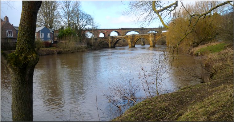
Yarm Bridge & the railway viaduct over the River Tees
There was Yarm Bridge, the A67 road bridge over the Tees, with the taller brick railway viaduct behind it. As we neared the road bridge the path veered right up the side of the Blue Bell Inn.
|
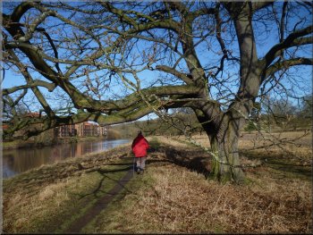
There were deer tracks in the muddy path but we didn't spot any of the animals themselves. After another 1km along the River Tees bank from the River Leven, ahead of us we could see two bridges over the River Tees.
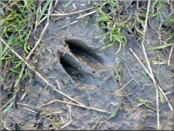
There were deer tracks in the muddy path
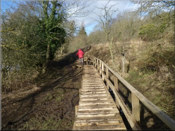
Walkway over a really muddy bit
Path up to the Blue Bell Inn
|
Path up to the Blue Bell Inn
|
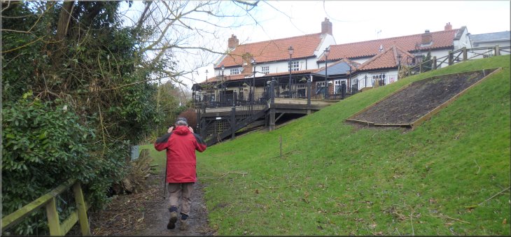
We crossed the car park at the Blue Bell Inn and . . .
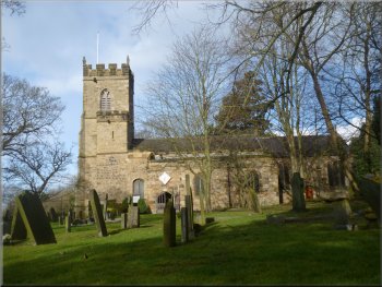
The church of St. John the Baptist
We walked along Church Lane to the end of our walk at the green where we had parked the car. The whole route had been 5km, quite enough for both of us in the muddy conditions and it had taken us almost 2 hours to walk it. |
We crossed the pub car park and then turned right to follow a tarmac path up Egglescliffe Bank to the church of St. John the Baptist. We followed the path around the church yard to Church Road at the Pot & Glass pub on our right.
. . . we joined the tarmac path up Egglescliffe Bank
Following Church Lane from the Pot & Glass pub
|
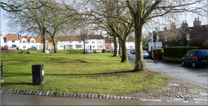
Back at the tree-lined green at Butts Lane and the end of our walk
|