|
2001 walks |
2002
walks |
2003 walks |
2004
walks |
|
2005 walks |
2006
walks |
2007 walks |
2008
walks |
|
2009 walks |
2010
walks |
2011 walks |
2012 walks |
|
2013 walks |
2014 walks |
2015 walks |
2016 walks |
|
2017 walks |
2018 walks |
2019 walks |
2020 walks |
|
2021 walks |
1993-2000 library |
Find a Route Index |
|
A few Routes to print out |
Request a Route... |
Route No. 776 - Wednesday 22 May 2019
Sprouston, River Tweed, Banff Mill, B6350,
disused railway path 6.5km circuit
Scottish Borders . . .
Route map from Ordnance Survey
Open Space service.
Map: OS Explorer 339 Kelso, Coldstream & Lower Tweed Valley
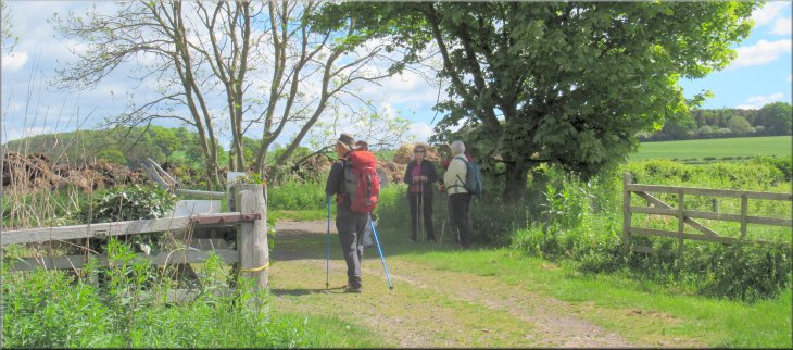
My wife & I go walking once a month with a group of friends and once a year we have a short walking holiday together. This year we are staying in a holiday cottage by the River Teviot near Kelso in the Scottish Borders. The Scottish Borders Council publish a booklet of walks around each of the towns in the borders area and our walks this week are taken from the Kelso walks booklet. (Download the booklet from the council web site)
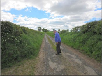
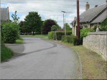
Our parking spot by the village green in Sprouston
|

|
|
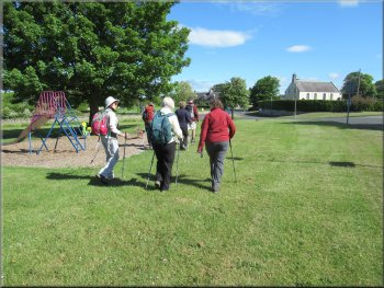
Setting off across the village green
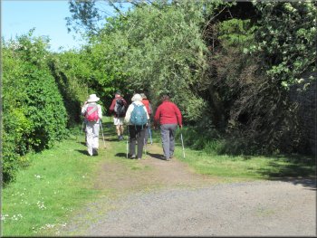
Track from the B6350 to the River Tweed
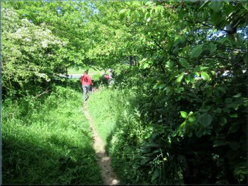
Path down to the River Tweed
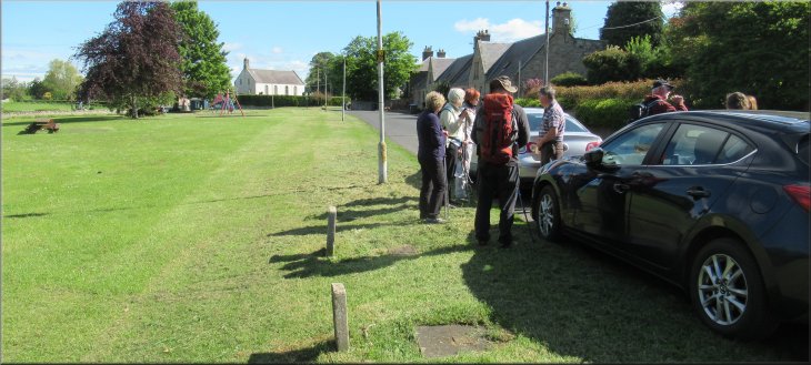
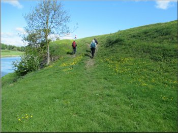
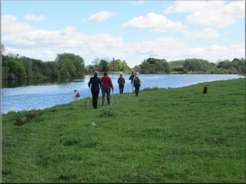
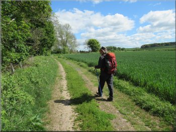
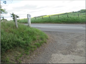
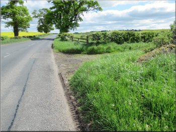
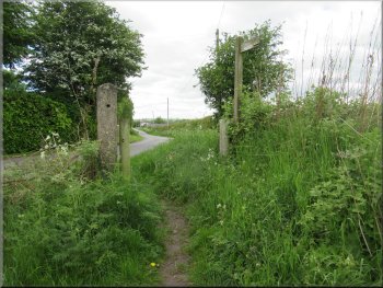
We crossed village green to the main road, the B6350, and crossed the road to a public telephone box opposite. We followed the track next to the phone box for almost 300m to the River Tweed. |
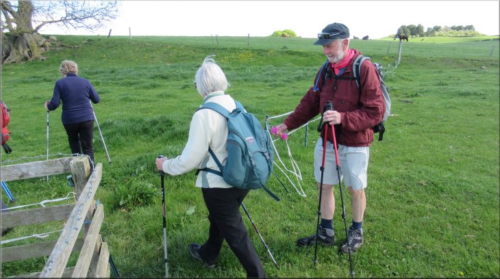
Our walk today starts from the village of Sprouston about 3.5km east of Kelso on the B6350. We drove from our holiday cottage and parked on the edge of the village green in Sprouston at map ref. NT 756 351.
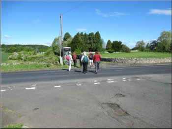
Crossing the B6350 to the public telephone box
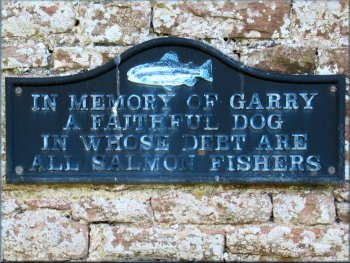
There was no explanation of this inscription
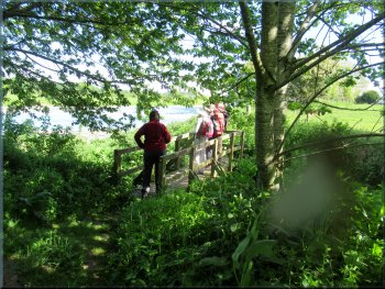
Footbridge on the riverside path
|
Following the path along the bank of the River Tweed
|
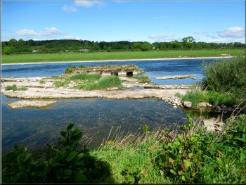
The old salmon trap
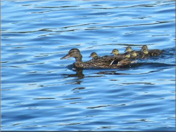
Family of mallard ducks near the river's edge
Fishermen's hut on the river bank
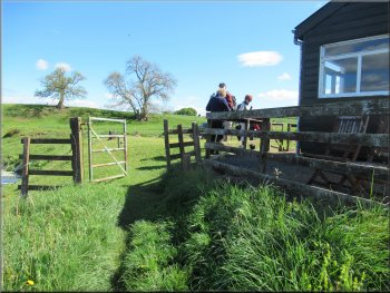
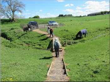
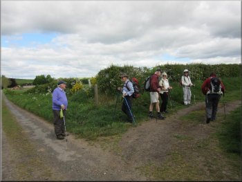
We continued along the river bank for another 400m to a fishermen's hut and small car park on the river bank. There was an electric fence here to contain livestock but the fence had an insulated handle that allowed us to unhook the fence from the car park fence and pass though. |
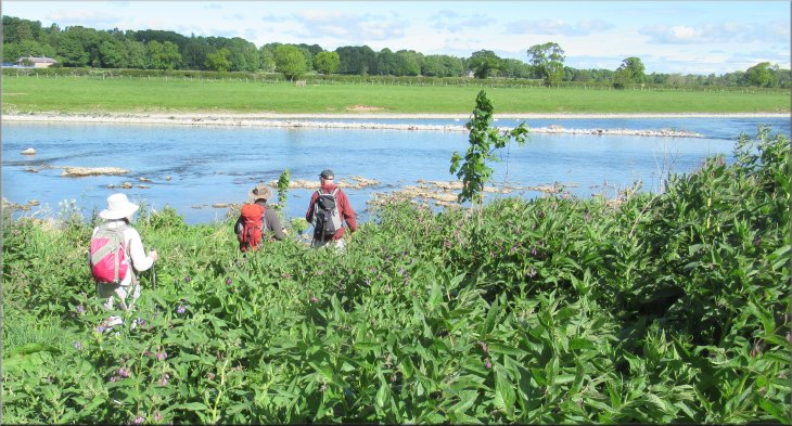
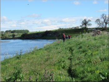
At the river bank we turned right and followed the path heading downstream along the river bank. After about 150m we passed a stone structure in the river with iron bars at the openings. According to the walk brochure this is an old salmon trap but I have no idea how it worked.
Path along the river bank
Continuing along the river bank
Gravel path from the hut to the car park
|
Peter unhooked the electric fence to let us all through
|
Path along the river bank after the fishermen's hut
Following the path along the river bank
Following the path along the field edge
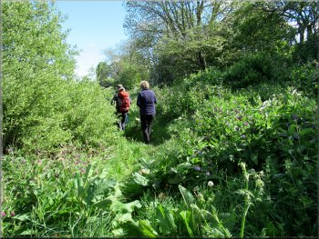
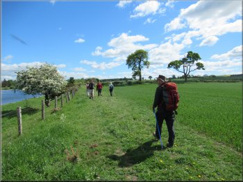
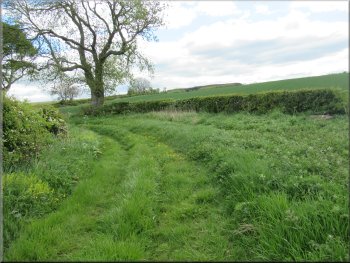
Then the path bent to our right through a gate into the fields next to the river. We continued along the track at the edge of the fields until we reached the access track to Banff Mill coming from the B6350. |
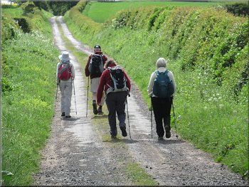
From the car park we continued along the river bank past several large groups of mute swans on the river. We followed the path round a long right hand bend in the river.
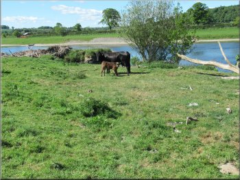
One of a number of cows with young calves by the path
The path continued through the gate and along the field edge
The path became a track as we approached Banff Mill
|
Joining the access track to Banff Mill
|

Turning right following the access track away from Banff Mill
The group turned left here . . .
Their route back to Sprouston would be along the disused Kelso to Cornhill railway line. I left the group here and continued up the track to the B6350 to do a shorter walk and save my wonky old knees for a challenging walk tomorrow. |
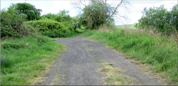
At the Banff Mill access track we turned right away from the river and followed the track up a gentle slope for almost 250m. Here the rest of our walking group turned left to do a longer walk further along the River Tweed.
Following the access track away from Banff Mill
. . . but I kept straight on to the B6350
|
At the end of the access track I turned left along the B6350
|
After about 250m I turned right off the B6350 to this track
|

I followed this grassy track across a little valley
Nearing the bridge over the disused railway
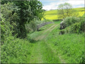
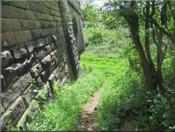
I came to a stone bridge over the disused railway line and as I approached the bridge there was a path off the track to my right that I followed dropping down the side of the bridge into the railway cutting. |
When I reached the road I turned left and walked along the road for about 250m. At this point I turned right off the B6350 and followed a grassy farm access track across a little valley.
Crossing the bottom of the little valley
Path by the bridge down to the old railway bed
|
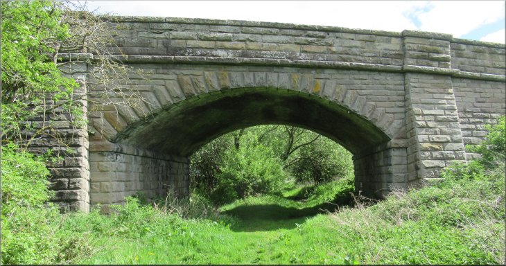
Looking back to the bridge over the railway
|
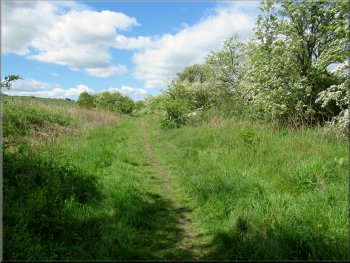
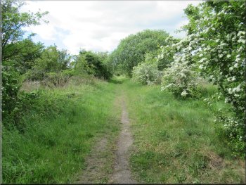
Path along the disused railway heading towards Sprouston
The ponies were very nervous and needed firm control from their riders to pass by with out incident. After a few hundred metres more I passed a turning to my left onto the minor road from Sprouston to Hadden. |
In the bottom of the railway cutting I turned right and walked along the bed of the disused railway. After a few hundred metres two riders on sturdy ponies came towards me and I waited by the track to let them pass.
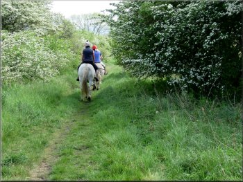
The nervous ponies passed me and continued on their way
|
The track to the left goes out to the road but my path continued straight ahead
|
Path heading towards Sprouston
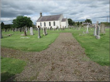
Sprouston Kirk to the right of the road
This was the end of my short walk and I sat in the car with my news paper and packed lunch to await the arrival of the rest of our group. My walk had been a little over 6km and it had taken me about two and a half hours to walk it. |
After another 300m I came to concrete gate pillars on either side of the path where the path joined the road at the edge of Sprouston. I walked down the road, past the village church and back to the village green where we had parked.
Gate posts where the railway path meets the road at Sprouston
Sprouston village green ahead
|
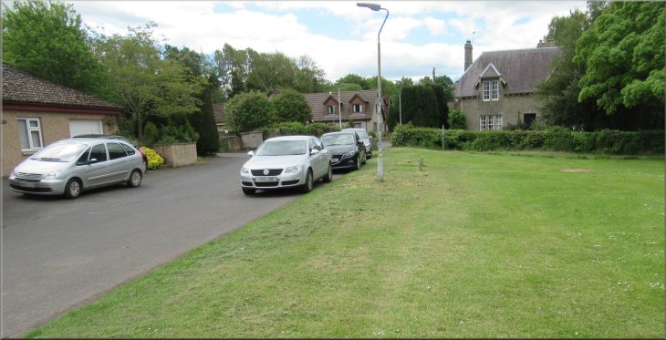
Back at our parking spot by the village Green at the end of the walk
|
