|
2001 walks |
2002
walks |
2003 walks |
2004
walks |
|
2005 walks |
2006
walks |
2007 walks |
2008
walks |
|
2009 walks |
2010
walks |
2011 walks |
2012 walks |
|
2013 walks |
2014 walks |
2015 walks |
2016 walks |
|
2017 walks |
2018 walks |
2019 walks |
2020 walks |
|
2021 walks |
1993-2000 library |
Find a Route Index |
|
A few Routes to print out |
Request a Route... |
Route No 832 - Thursday 25 March 2021
Highthorne Lane, field path south, Woolpots Lane,
Amplecarr, Cemetery, field path circuit - 4km
Husthwaite, Howardian Hills . . .
Route map from Ordnance Survey
Open Space service.
Map: OS Explorer 299 Ripon & Boroughbridge

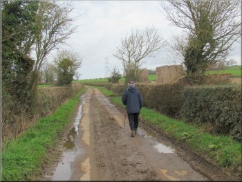
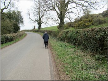
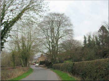
The start of our walk on Highthorne Lane at map ref. SE 5165 7462
My friend, Jim, and I were lucky to be able to walk today because our local weather forecast warned that today would be the last day of fine spring weather before things turned cold and wet and windy for the weekend. Jim drove himself and my wife dropped me off at our starting point a short distance away at map ref. SE 5165 7462 on Highthorne Lane about 200m east of Highthorne Farm on the edge of the village of Husthwaite. There is a wide grass verge here with room to park off the narrow lane. |

|
|
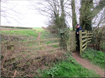
Kissing gate onto the field path from Highthorne Lane
Trees in the far corner of the second field
Continuing along the edge of the third field
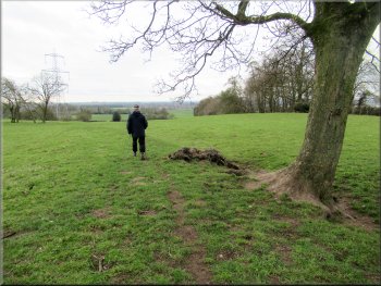
At the end of the second field there was a small group of trees carpeted with bluebell leaves but no flowers yet. There was a stile out of the trees into the next field and the path continued along the field edge with the hedge on our right. At the end of this field there was an open gateway into the next field where there was a pond on the left and the Flowers of May farm beyond. |
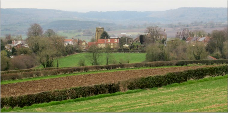
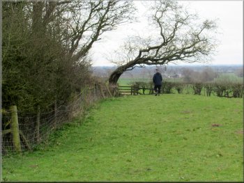
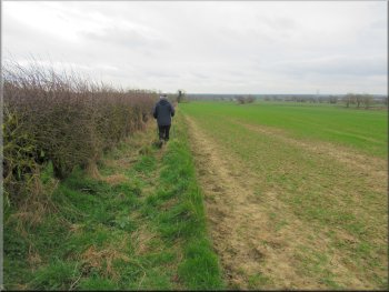
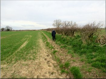
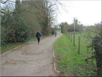
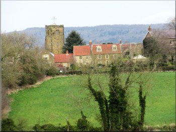
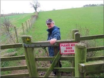
There is a kissing gate here leading off the lane onto a public footpath heading southwards along the field edge with the hedge on our right hand side. From the gate the path climbed a gentle slope and continued along the edge of the next field. There was a pleasant view behind us over the fields to Husthwaite village with its square church tower and the edge of the North York Moors beyond.(see header photo)
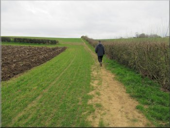
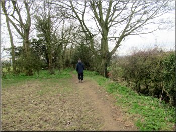
Following the path along the edge of the first field
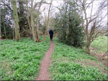
Bluebell plants covering the ground beneath the trees
Open gateway into the next field by the pond
|
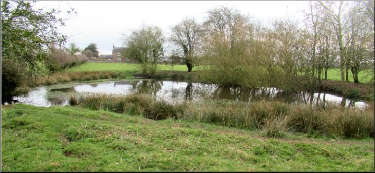
The pond with the Flower of May farm at the far edge of the field
|
Crossing the field from the pond
Stile in the field corner with a bent tree above it
Path along the field edge heading for the willow tree ahead
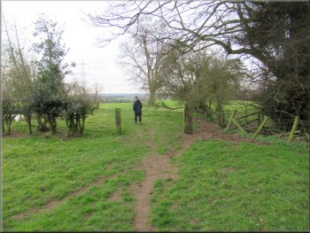
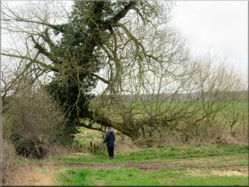
As we reached the corner of the field there was a bent tree leaning over above the wooden step stile. We crossed the stile and continued along the field edge with the hedge on our left. We followed the path for about 330m to the end of the field where there was a large willow tree with a small stream running across the end of the field. |
On our right there was a strip of trees and the route of the path continued across the field parallel to the strip of trees heading for a corner in the hedge at the far side of the field. From this corner in the hedge we continued with the hedge on our left and the strip of trees about 30m away on our right.
Keeping the strip of woodland about 30m to our right
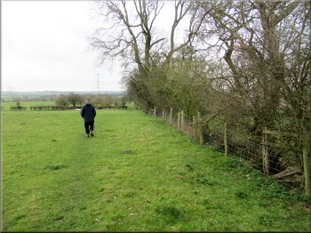
Following the path along the edge of the next field
We walked under the tree branch with the trunk on our left
|
Footbridge over a small stream below the willow tree where we turned right
|
Path along the field edge towards Woolpots Lane
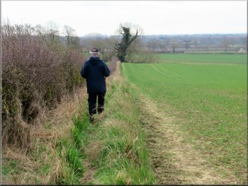
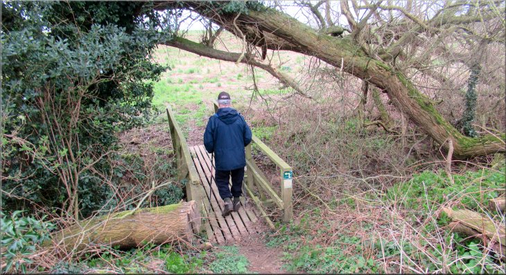
. . . The sign to the left is sharp and clear but the sign below it to the right is very feint and faded) Over the footbridge we turned right to follow the public footpath heading in a westerly direction along the field edge for about 350m to a narrow lane called Woolpots Lane. |
We followed the path straight ahead down past the willow tree to cross a small wooden footbridge over the stream. (Note: there are two small signs on the footbridge showing that there are public footpaths to the left and to the right from the footbridge . . .
Path along the field edge towards Woolpots Lane
|
Turning right from the field path onto Woolpots Lane
|
Woolpots Lane passing the turning to Throstle Nest farm

Passing Woolpots farm
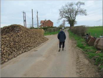
Stack of Mangles for animal feed
(How the farm dog would behave if we had had a dog of our own with us I do not know) We continued along Woolpots Lane to the bottom end of Highthorne Lane. We crossed the end of Highthorne Lane and continued along the road called Amplecarr towards Husthwaite village. |
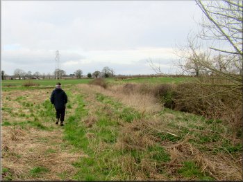
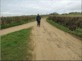
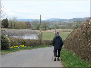
At this lane we turned right and walked along the lane past the farm access lane on our left to Throstle Nest farm. We continued along Woolpots Lane for about 600m to Woolpots farm on the left of the lane. There was a loose farm dog lying on the road side at the farm that took no interest in us at all.
Woolpots Lane heading for Woolpots farm
Holiday cottages at Woolpots farm
Nearing the junction with Highthorne Lane
|
Crossing the end of Highthorne Lane to walk along Amplecarr
|
Walking along Amplecarr towards Husthwaite
We turned right at the large tree ahead
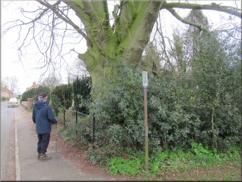
Just admiring the beech tree before making our turn
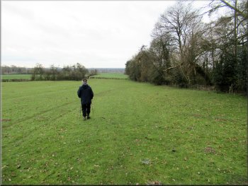
We turned right here and followed the public footpath along a tarmac track for about 35m. Ahead the tarmac track led into a children's play ground but the public footpath turned right around the field edge with a small stream down below the left hand side of the fenced path. |
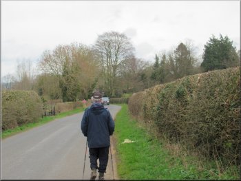
We walked along this road for about 600m to a small cemetery on our right. In the corner of the cemetery there is a large beech tree and just before the cemetery is a public footpath off to the right.
Walking along Amplecarr towards Husthwaite
Large beech tree at the cemetery corner where we turned right
Tarmac track leading up to the children's play ground
|
Turning right off the tarmac track to follow the public footpath around the field edge
|
Following the fenced path around the field edge
Looking back to Husthwaite church tower
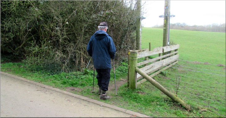
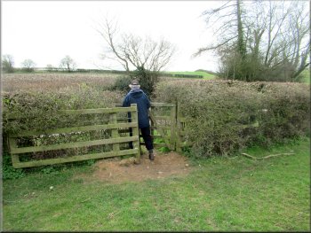
We followed this path, with the post and wire fence on our left, for about 200m to a gate onto Highthorne Lane. At the lane we turned right and walked a few metres along the lane back to Jim's car and the end of our walk. My wife arrived with our car a few minutes later and we drove back home to Easingwold. Hopefully the Covid19 regulations will soon be eased and Jim and I will be allowed to travel together again. |
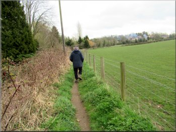
We continued along this narrow fenced path around the edge of the field for almost 300m until we came to the end of the field and there was a kissing gate on our right to a public footpath heading up the end of the field towards Highthorne Lane. (I phoned my wife here ready for her to pick me up at the end of the walk)
Turning right off the fenced path to cross the field
Gate from the field path onto Highthorne Lane
|
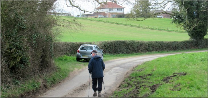
Walking a few metres along Highthorne Lane back to Jim's car at the end of our walk
|