| 2001 walks | 2002
walks | 2003 walks | 2004
walks |
| 2005 walks | 2006
walks | 2007 walks | 2008
walks |
| 2009 walks | 2010
walks | 2011 walks | 2012 walks |
| 2013 walks | 2014 walks | 2015 walks | 2016 walks |
| 2017 walks | 2018 walks | 2019 walks |2020 walks |
| 2021 walks | 1993-2000 library | Find a Route Index |
| A few Routes to print out | Request a Route... |
Route No. 185 - Wednesday
12 July 2006
Kirkham Abbey, Crambe
River Derwent circuit - 9km
Howardian Hills . . .
Map: OS Explorer 300 Howardian Hills & Malton at 1:25000
Route
Map on 'Landranger' base from OS Open Space service
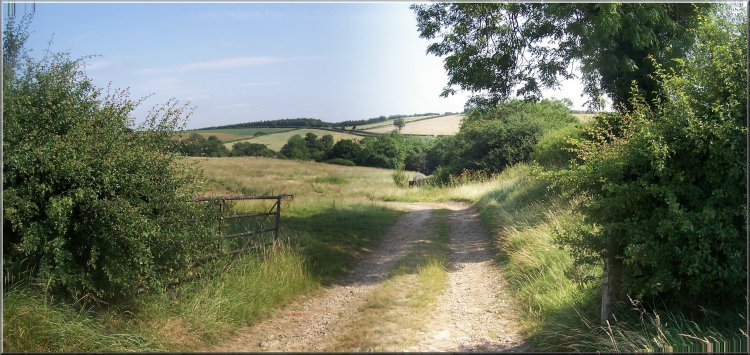
The
entrance to Kirkham Abbey
From
the entrance to Kirkham Abbey we turned left on to the
road and crossed the bridge over the River Derwent.
Just beyond the bridge we walked over the level crossing
on the railway line between York and Malton and about
100m past the level crossing we turned left off the
road on to a footpath up the hillside through the woods
for about 300m to reach the road at map ref. SE 732654.
|
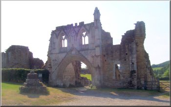
This
morning was another bright clear day. The kind we are
getting used to this summer. My neighbour, Jim, and
I drove the few miles to Kirkham Abbey on the River
Derwent and parked next to the abbey entrance at map
ref. SE 734658. at about 9.30am.
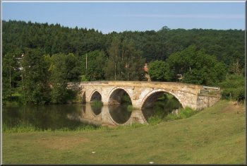
Bridge
over the River Derwent at Kirkham
|
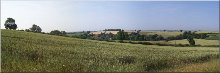 Looking
across the fields to Crambe
Looking
across the fields to Crambe |
After
just a few metres on the road we turned left off the
road on to another path which we followed round the
edge of the woods. After the end of the woods the path
dropped down the slope to join the farm access track
from Oakcliffe farm. We followed the track out to the
road at map ref. SE 738645.
Welcome
notice into Oak Cliff woods
|
Path
around the edge of Oak Cliff woods
Here we turned right towards the village of Crambe.
After about 350m at map ref. SE 734648, we turned left
off the road on to a footpath across a field to the
church yard in Crambe.
|
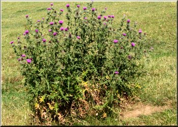
Thistle
in full bloom
From
the church yard we followed the village street for about
200m to map ref. SE 731649 where we turned left off
the road to follow a path through the yard afa smallholding
and little paddock with Jacob's sheep to a gate from
a boggy area into a wood.
|
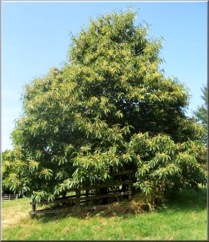 Sweet
chestnut tree at Crambe
Sweet
chestnut tree at Crambe |
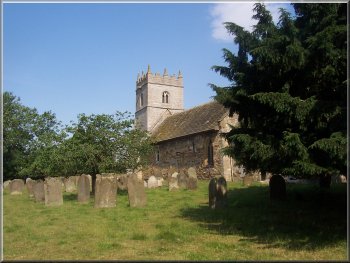 The
village church at Crambe
The
village church at Crambe |
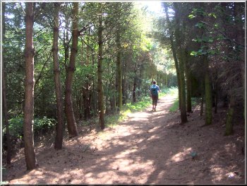
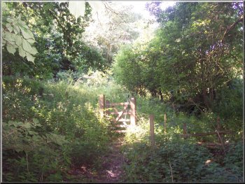 Path
out of Crambe through the woods
Path
out of Crambe through the woods |
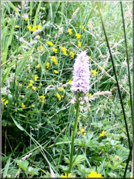 A late
orchid by the path from Crambe
A late
orchid by the path from Crambe |
The path climbed up through the wood to join a track
through the fields. We could simply have kept going
on the village street which bends round and becomes
the track we had just joined, but I thought our route
was more interesting.
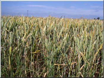
Ripening
wheat beside the track near Crambe
|
We
walked along the track for a few hundred metres to map
ref. SE 727643 where we turned left off the track on
to a path along the hedgeline at the top of a slope.
After about 250m we had reached the corner of a small
wood where we turned right to head directly down the
slope to a pedestrian gate in the hedge at the bottom.
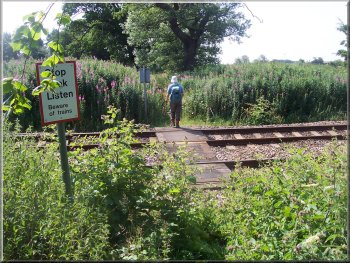
Pedestrian
level crossing over the railway
|
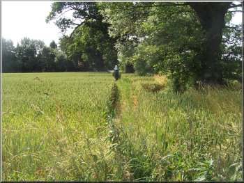
Path
through the wheat fields at Rider Lane Farm
Through
the gate the path followed the line of an ancient hedge
with field maple, blackthorn, hawthorn, hazel, ash,
dog-rose etc. At the end of this field we reached to
railway where we crossed on a pedestrian level crossing
after a very careful look and listen! We couldn't see
very far because the crossing is on a long bend in the
railway.
|
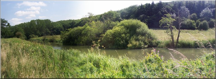 The
River Derwent
The
River Derwent |
Over
the railway we joined a farm track which led us out
to the road. Here we turned left to walk along the road
for about 150m to map ref. SE 733635 where we turned
right off the road to walk along a path over the fields
to the River Derwent opposite the roofs and tall chimneys
of Howsham Hall visible over the trees.
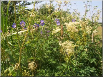
Wild
geraniums and meadowsweet along the river bank
|
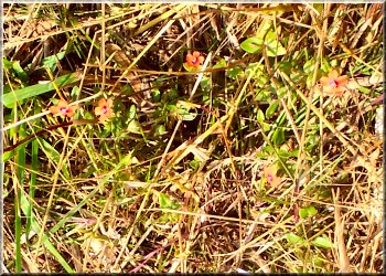
Tiny
red flowers of the Scarlet Pimpernel
almost lost amongst the dry grass
We
followed the path along the river bank for over 3km
back to the bridge at Kirkham, where we retraced our
steps over the bridge and back to the car. The whole
route had been about 9km and had taken us two and three
quarter hours to walk including a short break for a
drink.
|
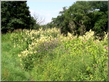 The
whole river bank was a mass of wild flowers and buzzing
insects
The
whole river bank was a mass of wild flowers and buzzing
insects |
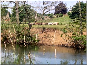 Cattle
by Kirkham Abbey
Cattle
by Kirkham Abbey |
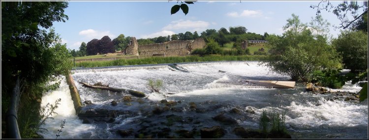 Weir
on the River Derwent at Kirkham Abbey
Weir
on the River Derwent at Kirkham Abbey |