| 2001 walks | 2002
walks | 2003 walks | 2004
walks |
| 2005 walks | 2006
walks | 2007 walks | 2008
walks |
| 2009 walks | 2010
walks | 2011 walks | 2012 walks |
| 2013 walks | 2014 walks | 2015 walks | 2016 walks |
| 2017 walks | 2018 walks | 2019 walks |2020 walks |
| 2021 walks | 1993-2000 library | Find a Route Index |
| A few Routes to print out | Request a Route... |
Saturday
24 March 2007
Boltby, Boltby Forest, Cleveland Way,
Low Paradise Farm circuit
- 10km
Cleveland Hills, North York Moors
Map: OS
Explorer OL26 North York Moors Western area at 1:25000
Route
Map on 'Landranger' base from OS Open Space service
Open this route in Google Earth
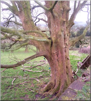
200 year old sycamore
beside the lay-by |
This
morning my son-in-law drove the two of us to Boltby on
the western edge of the Cleveland Hills. We parked in
a lay-by on a bend in the road just east of the village
at map ref. SE 494865. We walked back through the village
about 500m to map ref. SE488866 where we turned right
off the road to follow a path across the fields to the
edge of the wood at map ref. SE484877.
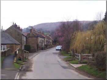
Boltby village
|
|
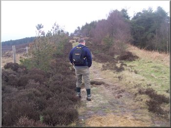
Path leaving Boltby
village much used by local dog walkers |
I
had followed the usual track to the edge of the wood,
but this time there was a National park sign on the gate
proclaiming "No Public Right of Way". This was
a puzzle. I had a close look at the map and discovered
that the right of way veers off the track to the left
about 100m back and enters the wood about 50m higher up
the slope.
Climbing up above Lunshaw Beck in Boltby Forest
|
An old oak tree in the deep shade of the conifers |
|
Contrast between the open deciduous wood down the bank and
the dark shade of the conifer plantation |
Nearing the top edge of Boltby Forest next to the moor |
|
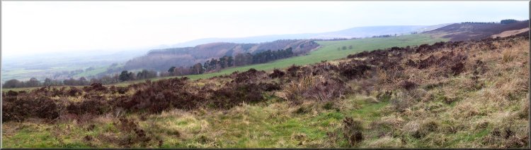
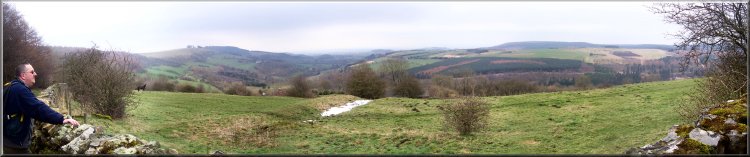
Looking north across the moor from the edge of Boltby Forest
over Cowesby toward Kepwick |
Track around the top edge of Boltby Forest
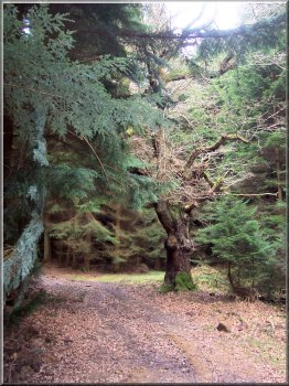
On the way up I was disappointed to find that all my old
landmarks had gone and a large area of the forest had
been clear felled. But after a few moments confusion we
were back on track. There was a very cold wind once we
were out of the shelter of the trees. We continued around
the edge of the woods to join the Cleveland Way at map
ref. SE 495901.
|
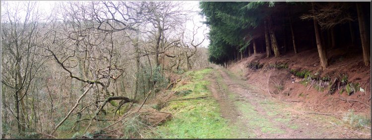
I
must admit that I had not noticed anything on the ground.
In any case it all seems a bit academic because the whole
wood is marked on the map as open access land so we continued
on our way. We followed the route of the right of way
through the wood to map ref. SE 478888 where we joined
a track running up the ridge round the edge of the wood.
Track around the top edge of Boltby Forest
|
Looking toward the Cleveland Way path along the old drove
road on the ridge from the track around the top edge of
Boltby Forest |
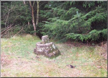
Remains of an old stone cross beside the path on the edge
of Boltby Forest |
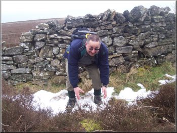
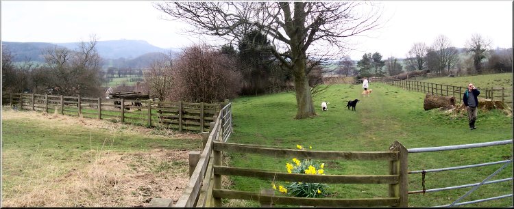
Still boys at heart we found some snow to play in |
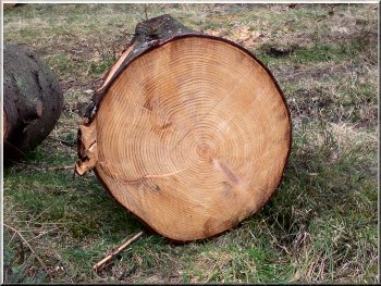
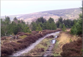
34 year old conifer recently felled
We followed the tarmaced farm road down the hill through
High Paradise Farm and round the bends to Low Paradise
Farm at map ref. SE 501881.
|
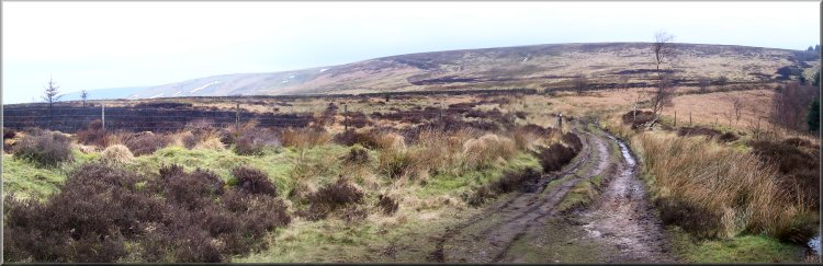
Here we turned right to walk along the Cleveland Way for
about 1.5km to the turning for High Paradise farm at map
ref. SE 504890.
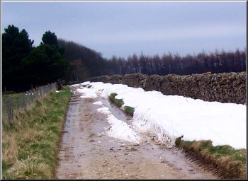
More snow by the farm road to High Paradise
|
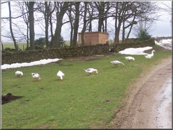
Geese grazing at High Paradise farm |
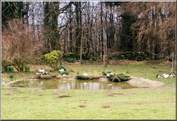
The duck pond at High Paradise Farm |
Farm road from High Paradise to Low Paradise farm
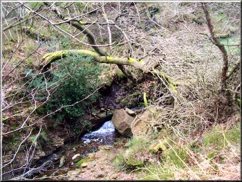
We
followed the path across Lunshaw Beck and up a wooded
slope to the fields at map ref. SE 500875.
|
The public right of way goes through the very trim gardens
of the farm house and over a stile under a hedgerow arch
and out into the fields.
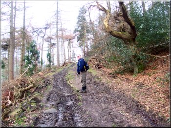
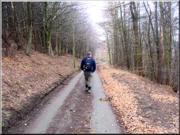
Muddy track up through the wood above Lunshaw Beck
|
|
Looking down the valley of Lunshaw Beck from the farm road
above Low Paradise |
|
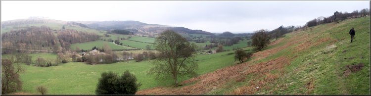
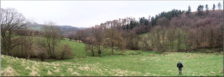
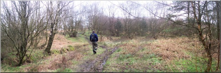
Crossing the fields on the way back to Boltby |
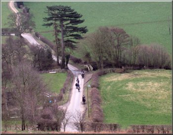
String of horse riders returning to Boltby
Then followed the public road for about 200m back to our
car in the lay-by. The whole route had been about 10km
and it had taken us (well my slow pace) almost 4 hours
including a short lunch break.
|
We continued on the same path contouring round a steep
slope to a farm road at map ref. SE 495867. We crossed
the stile onto the farm road and walked along it for about
100m to the public road.
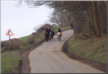
String of horse riders returning to Boltby
|
|
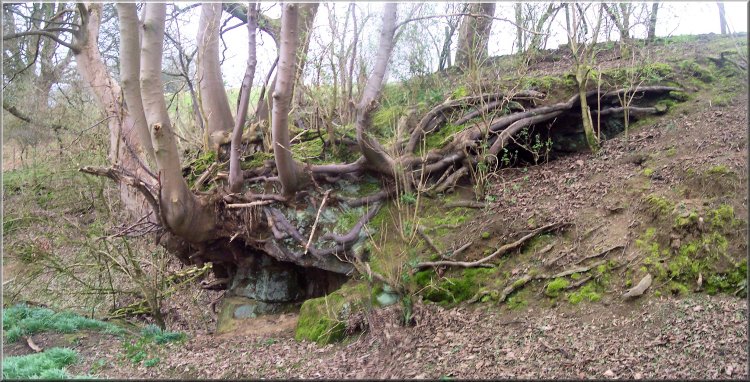
Ash trees growing from fissures in the rock with an amazing
root system going back into the hillside |