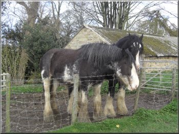
Shire horses looking into the car park, hoping for a treat?
We
started walking at about 10.45 am. It was bright and sunny
with a cold wind and a few black shower clouds about.
|
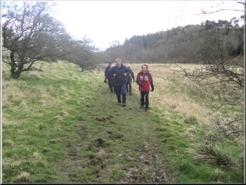
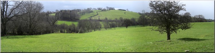
This
morning I met a group of six friends at the large grassy
car park at the southern end of Ripley village, map ref.
SE284603.
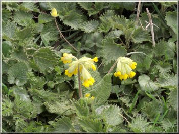
Cowslips on the bank by the road
|
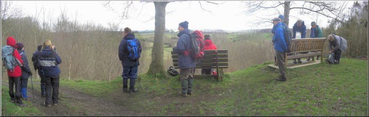 Seats
at the view point at map ref. SE 285623
Seats
at the view point at map ref. SE 285623 |
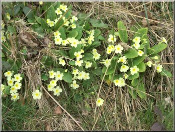
Primroses on the bank by the road
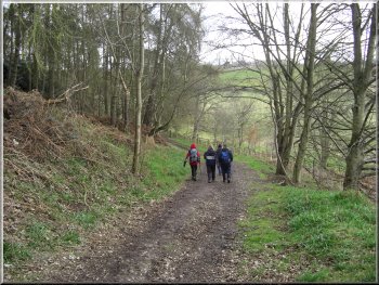
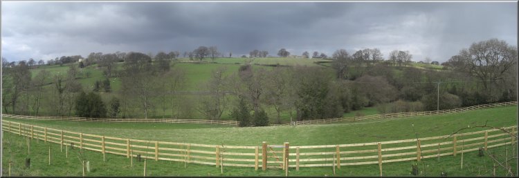
We
crossed the B6165 (the modern road to Pateley Bridge)
and continued on the Nidderdale Way route along the lane
until it became a track across the fields. The track led
us to two seats at a view point (map ref. SE 285623).
There was a large group of walkers already there having
a drink and they did not show any signs of moving on even
when we suggested that they would be getting cold in the
biting wind if they stood around for too long.
|
We
walked through the village and about 100m before the roundabout
at the northern end of the village we took the left hand
fork along the old road to Pateley Bridge (now a dead
end with only pedestrian access through). This is the
route taken by the Nidderdale Way which is marked on the
OS Explorer and Landranger maps.
The path down into Cayton Gill
|
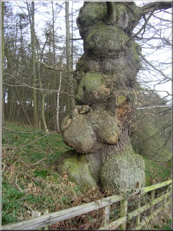
Gnarled oak tree as we approached Cayton Gill
So
we carried on down the wooded slope and across a little
valley. Across the valley we followed the path to the
left to walk along the valley bottom and soon found a
sheltered bank to sit in the sunshine for a break.
|
The path along Cayton Gill

Lovely
old ash tree in Cayton Gill
|
The path along Cayton Gill
After
our break we followed the path to the edge of a wood at
map ref. SE 284631. Here we turned left on to a track
along the edge of the wood and down through the trees
to a ford at map ref. SE 281630. From there we walked
along a track out to a road at map ref. SE 275625.
|
As
we sat there was a buzzard wheeling over the trees opposite
then as I got my eye in there were more and more of them
until I counted seven buzzards circling, coming together
and chasing off only to return a few moments later. Maybe
they were sorting out partners for the coming breeding
season.
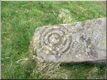
Intriguing design on an old stone gate post
|

We
continued along the Nidderdale Way for another 1.5 km
to map ref. SE 261626. We stopped here on a bank on the
field boundary sheltered from the wind and facing into
the sun which was quite warm at this stage.
|
Still
following the Nidderdale Way we turned left down the road
which was quite busy with fast moving traffic. We walked
along the grass verge for about 500m and turned right
off the main road on to a farm access road.
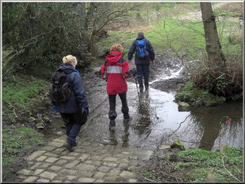
Ford across Cayton Beck
|
|
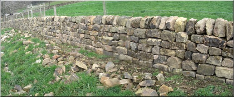
A very nice piece of new dry stone walling |
|
View in the sunshine from our lunch stop above Thornton
Beck |
 Looking
across Thornton Beck from the lane to Bedlam
Looking
across Thornton Beck from the lane to Bedlam |
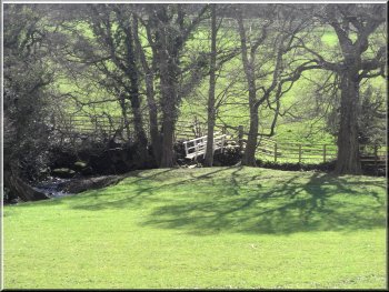
Footbridge over Thornton Beck
At
the lane we turned left to walk along the lane to Bedlam
on the B6165. We had just set off along the lane when
a large dense black cloud blotted out the warm sunshine
we had had at lunch time and a squally wind blew up with
a furious hail shower that lasted about ten minutes and
covered the road white over with hailstones.
|
It
was a very pleasant spot for our lunch sitting in the
sun looking across the valley. After our lunch we left
the Nidderdale Way and walked down the slope to a foot
bridge over Thornton Beck at map ref. SE 261624. We crossed
the beck and climbed up to the lane from Bedlam to Shaw
Mills.
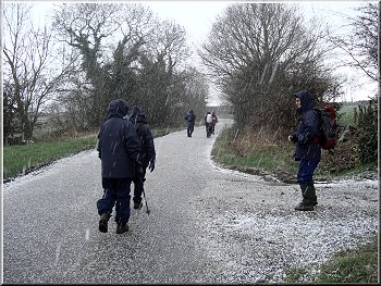
The road was white over with hailstones in a couple of
minutes
|
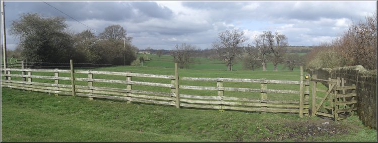
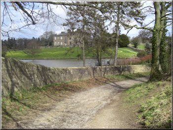
This is where the path from Bedlam meets the park boundary
wall |
|
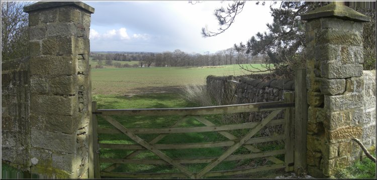
These imposing gate posts seem to be there just to frame
the view |
|
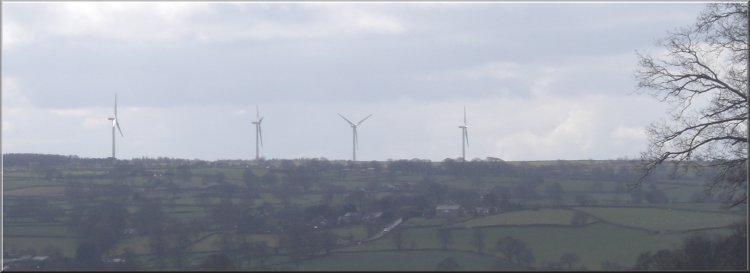
Wind turbines on the skyline - I like them! |
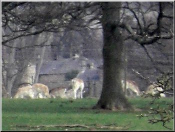
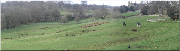
Fallow deer in Ripley Castle Park
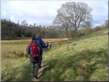
Then
we followed the path out across the fields to meet the
boundary wall of the Ripley Castle Park at map ref. SE
269609. We followed the boundary wall along the path to
a track near High Rails Farm.
|
Then
the sun came out again before we reached Bedlam. We crossed
over the main road (B6165) and followed the public footpath
through a wrought iron gate, down the edge of a private
garden.
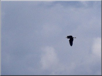
A heron easily overtook us as we walked round the edge
of the Park
|
Following the wall around the edge of Ripley Castle Park
|
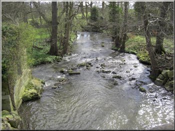
Ripley Beck as it leaves the lakes in the Park |
|
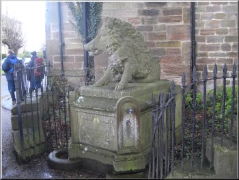
Wild Boar drinking fountain opposite the Wild Boar pub in
Ripley
|
From
there we continued following the boundary wall round the
edge of the park to meet the Nidderdale Way again at map
ref. SE 279602. Here the turned left to follow the Nidderdale
Way again and the boundary wall back into Ripley village.
The whole route had been 10 km and had taken us three and
a half hours to walk including a couple of very pleasant
stops.
|
Background Notes:
This walk of 10km, about 6 miles, is from Ripley off the A61 between Harrogate and Ripon. There's a large grassy car park on the edge of the village and from there we walk along the village street past a little square between the church and the Boars Head Inn where the village stocks remain as a reminder of sterner days in the past. In the mid 1300's King Edward III fell from his horse on a wild boar hunt near here and was only save from being gored by the boar by the swift action of Thomas Ingilby of Ripley who killed the boar. He was knighted for his efforts and the Ingleby family live at Ripley Castle to this day.
In the early 1600's Ripley was struck by the plague and a great many of the villagers died. The village was then rebuilt by Sir William Amcotts Ingilby in the style of the villages of Alsace-Lorraine and these are the terraces of stone cottages that we see in the present village.
A little way beyond the Boars Head Inn we turn onto the old road to Pateley Bridge. It's a no-through road to traffic now but there is still the old stone mile post at the junction. Here we join the route of the Nidderdale Way. This is a 85km, that's 53 mile circular walk from Ripley at it's south eastern end up Nidderdale as far as Scar House Reservoir.
We follow this route out of Ripley and soon come to a seat at a very pleasant view point looking north over a wooded valley in the general direction of Fountains Abbey. We drop down into the valley and continue along the Nidderdale Way to a minor road,but it is quite busy. We walk along this road for a short distance and then follow the path through farmland along the valley of Thornton Beck. This is the beck that feeds the lake in the grounds of Ripley Castle.
We then leave the Nidderdale Way and cross the beck to a lane leading us to the hamlet of Bedlam, a name apparently derrived from the Saxon words, Bodle Lum meaning 'at the buildings'. Anyway we cross a busy road 'at the buildings' to follow a path across the fields around the stone boundary wall of the grounds of Ripley Castle.
We follow the walls to the entrance to the castle and it's worth a look at both the castle and the grounds. In the grounds, it's a deer park, there are a few very ancient oak trees, maybe upto 1000 years old. The girth of their trunks is around 10m, a really impressive sight. To me it's mind boggling to think that these living things have been growing here since the Norman Kings ruled England.
On our way back into the village from the castle we pass the All Saints Church which dates from 1400's and on the east wall there are the marks of musket balls used by The Parliamentarians to execute Royalists in the aftermath of the battle of Marston Moor. We continue past the church and return through the village to the car park and the end of this week's walk.
top of page
|