|
Looking back to Ampleforth as we left the village
We drove to the village of Ampleforth about 9 miles from home. I have
an ulterior motive for going there, my stepson and his wife run the
White Horse Inn
there, so we were assured of easy parking in the village and a good
lunch at the end of our walk.
|
Today my neighbour, Jim, and I are on grandad duties. Jim has to collect
his grand daughter from school and I have to collect my grand daughter
from her nursery (play school). So we made an early start for a short
local walk.
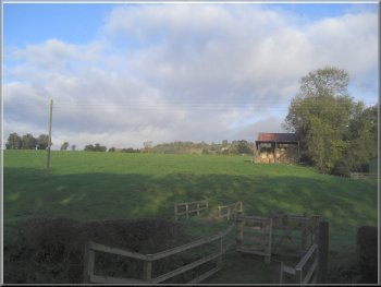
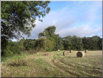
Setting out across the fields from Ampleforth
|
|
Path across the fields from Ampleforth
We followed the public footpath along this track and across the fields
to a minor road on the south side of Ampleforth at map ref. SE581780.
(the path has been diverted from the route shown on my old map so follow
the signs).
|
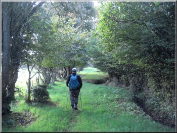
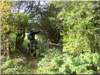
We started walking at about 9.00am and from the pub car park we turned
right to walk along the village street for a few hundred metres to map
ref. SE579786. A stream crosses the road here and beyond the stream
on the left hand side of the road is a bungalow with a track down the
side.
Looking back from the road at the southern edge of Ampleforth
|
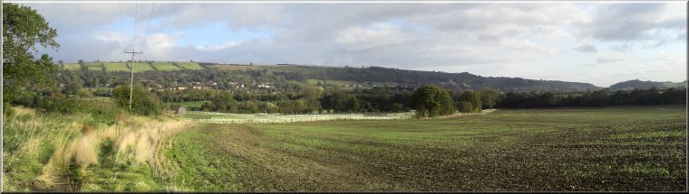
Looking north across the valley back to Ampleforth |
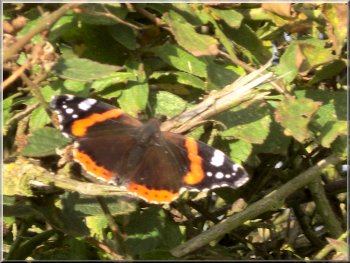
A red admiral butterfly in the October sunshine |
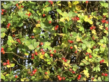
Rose hips in the hedgerow |
|
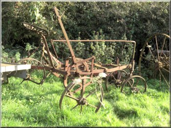
What was this old implement used for?
We crossed the road where there used to be a level crossing but the
old railway is long gone. The start of the path opposite is just inside
the gate on the drive to a private house and is overgrown with nettles
and brambles.
|
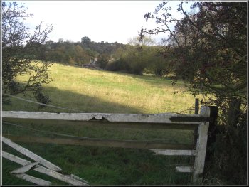
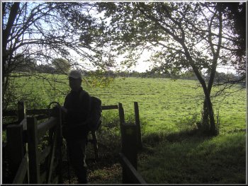
At the road we turned right to walk along the road for about 500m to
a bend in the road at map ref. SE579778 and on the crown of the bend
a path to the left. We followed this path across the fields to the road
at map ref. SE574767.
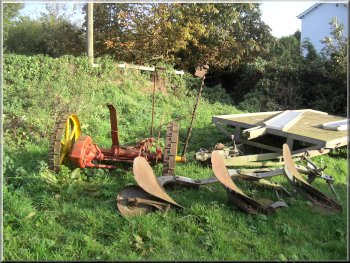
A plough and an old hay cutter
|
|
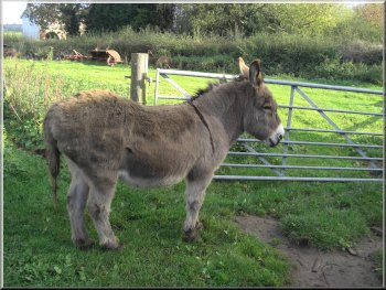
A sturdy donkey that came over for a pat
This used to be an open farm with an impressive exhibition of old farm
implements. The brown tourist signs are still in place but it does not
seem to be open any more.
|
It doesn't look much used, but we though it was worth keeping open
so pressed on across a field full of old farm machinery until we reached
the farm road at Thorpe Hall.
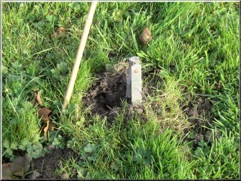
The top of a mole trap and a cane marking its position
|
|
Crossing a stubble field towards Low Lions Lodge
From there we took the path up the farm road to pass Low Lions Lodge.
|
Again we followed the path across the fields to a road at map ref.
SE571764.
Heading across the fields towards Low Lions Lodge
|
|
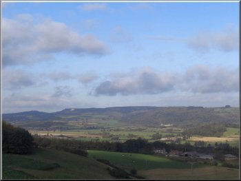
Looking across the valley to the White Horse and Byland Abbey
At the road we turned left and walked along the road to the 'T'-junction
at map ref. SE584749.
|
The path then climbed up the hill through a pleasant little valley
to High Lion Lodge. Beyond High Lions Lodge the path brought us to a
road at map ref. SE578750.
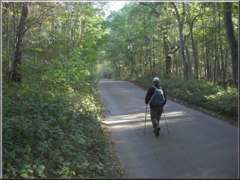
The road heading for Yearsley woods
|
|
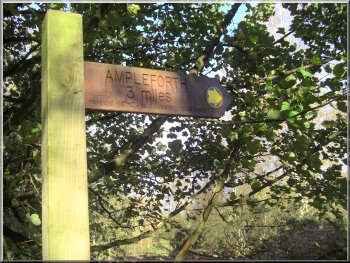
Sign post at the T-junction
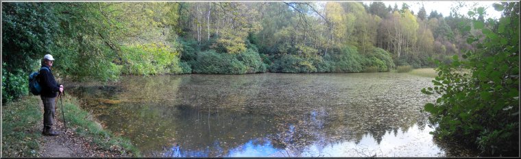
We crossed between the two ponds and followed the track on the other
side down to a third larger pond at map ref SE590765.
|
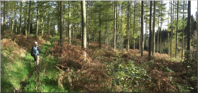
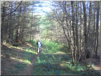
We crossed the road at the junction to follow a path through the woods
for almost 1.5 km, down to two ponds at map ref. SE595759.
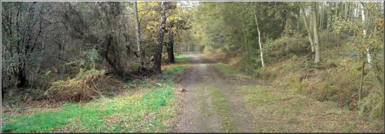
Path towards Ampleforth through Yearsley Woods
|
Path along the dam between the first two ponds in Yearsley Woods |
Track down to the largest pond in Yearsley Woods |
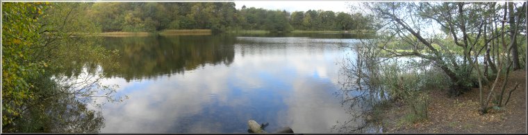
The largest of the three ponds in Yearsley woods |
|
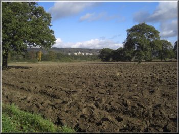
Distant view of Ampleforth Abbey across a ploughed field
Part way along this path some new fencing has been erected to guide
cattle through a short track between two fields.
|
We followed the path out of the wood and across a track to continue
along the path across some fields for about 2km back to Ampleforth.
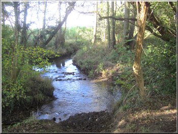
A little stream in a little patch of woodland on the way back to Ampleforth
|
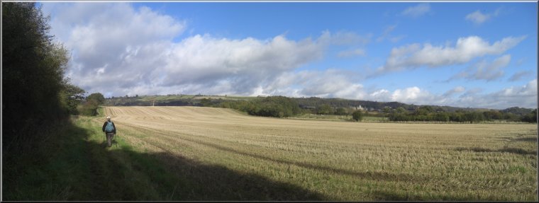
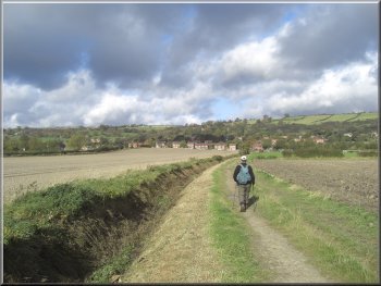
Path across the stubble fields heading back to Ampleforth |
|
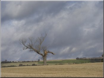
A dead tree seen against a showery sky
We sank into the mud which came well up my calves and there is no
way to avoid it.
|
The footpath is also channelled between the fences. The cattle have
churned the wet ground into soft mud.
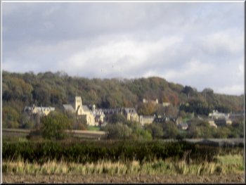
Ampleforth Abbey & College
|
|
Path across the fields back to Ampleforth
We had a hot filled baguette with chicken and bacon, chips and salad
- just a snack and very tasty. Our Little walk of about 10 km had taken
us almost three and a half hours, but we were back home in good time
to collect our respective grand daughters.
|
We came into Ampleforth by the children's play ground and made our
way along the street past the church and back to the White Horse Inn
(note there is also a White Swan Inn in Ampleforth - confusing isn't
it!)
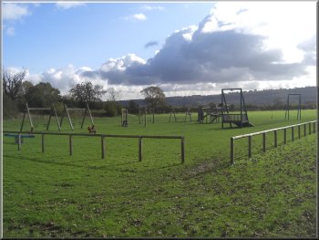
The children's play ground as we reached Ampleforth
|