|

Water company permissive path around Cod Beck Reservoir
|
|
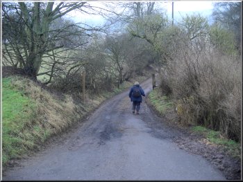
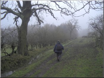
Start of the path around Cod Beck Reservoir
Water company permissive path around Cod Beck Reservoir
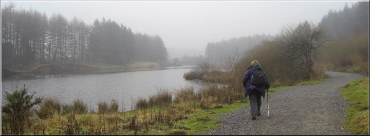
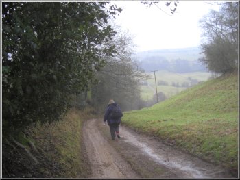
We followed this path through the trees along the side of the reservoir for about 1km to the end of the reservoir dam. From the dam we followed the path out to the road about 100m away at map ref. SE460985. At the road we turned right and walked along the road for about 200m.
|
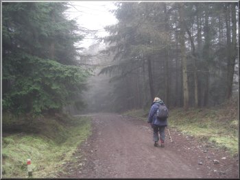
This morning my wife and I drove through Osmotherley to a little car park at the head of Cod Beck Reservoir at map ref. SE467992. It was a damp overcast day but still good to be out in the fresh air. From the car park we crossed the stile to the water company permissive path along the northwest side of Cod Beck Reservoir.
Water company permissive path around Cod Beck Reservoir
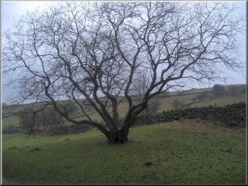
An old rowan tree by the path near the dam
|
|
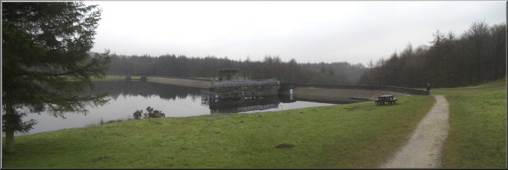
The dam at Cod Beck Reservoir
Path from the road climbing up the hillside along the field edge to the corner of some woodland
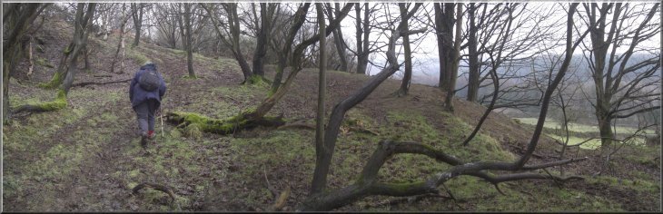
The path continued, climbing up through the woodland
|
|
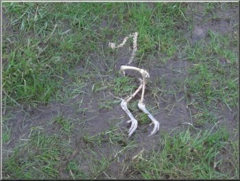
All that remained of a pheasant by the path
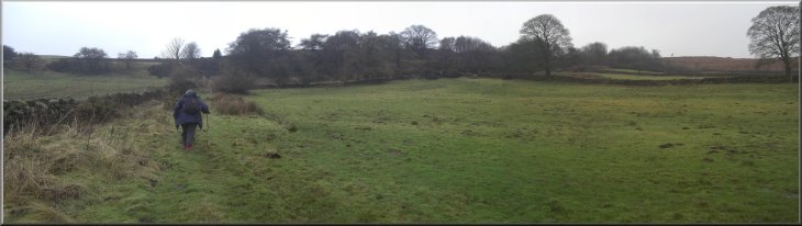
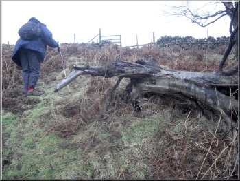
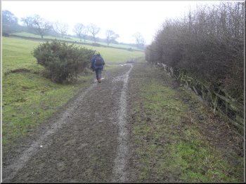
Path from the woodland over rough fields to the road
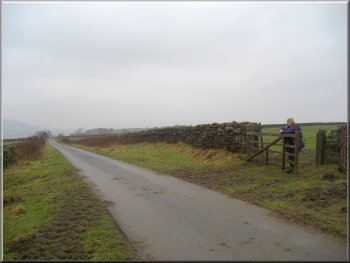
We followed the path across the fields for about 250m to a lane at map ref. SE459991. We turned left to walk along the lane for about 250m past Black Share farm to a public footpath on the right hand side of the lane.
|
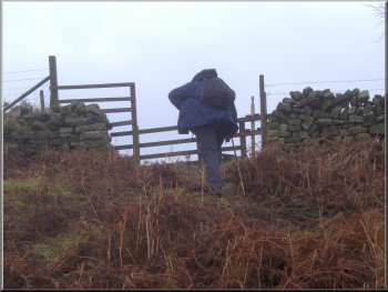
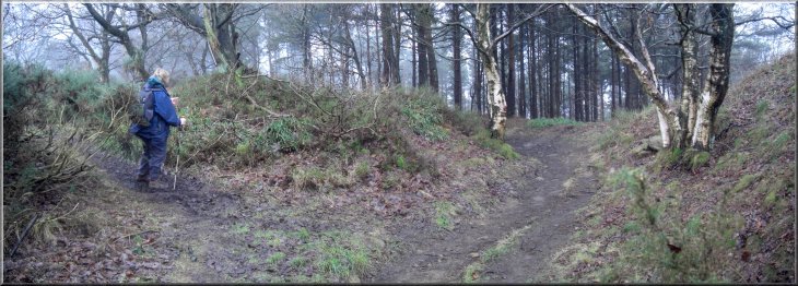
Here we turned left off the road to follow a path climbing up the hillside along the field edge to the corner of some woodland. The path turned right to skirt the bottom edge of the woodland for about 200m before climbing up through the woodland to the fields above the wood.
Path from the woodland over rough fields to the road
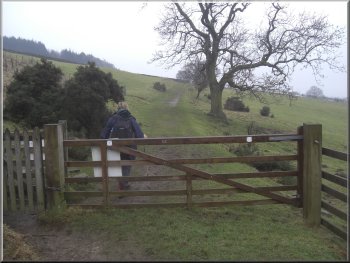
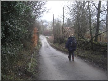
Turning off the road beyond Black Share farm
|
|
About to join the Cleveland Way route at the top of Arncliffe Wood
|
|
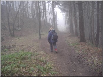
The Cleveland Way path down through Arncliffe Wood
Farm track leading to Chapel Wood Farm
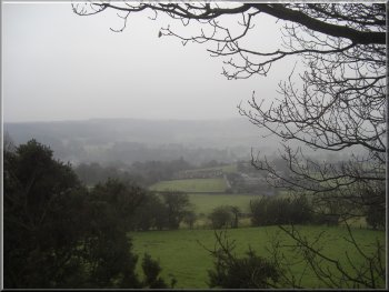
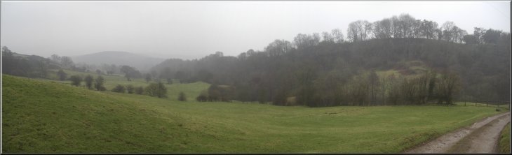
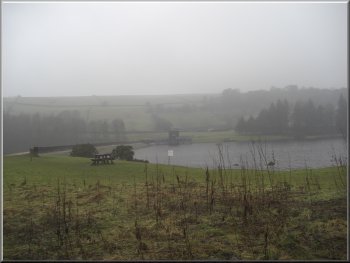
Misty view at the view point
From the farm we continued along the track up a slope to a view point at map ref. SE452978. From the view point we followed the track for another 500m out to the road at map ref. SE457976. We turned left at the road and then after 250m we turned right off the road on to a farm access road.
|
Here we turned off the road to follow the footpath across the fields for about 300m to join the Cleveland Way route at the top of Arncliffe Wood at map ref. SE456990. We turned left to follow the Cleveland Way route down the hillside through the woodland to join a farm access track heading south to pass Chapel Wood Farm.
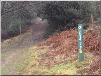
The Cleveland Way path down through Arncliffe Wood
Farm track leading to Chapel Wood Farm
Walking out to the road on the edge of Osmotherley
|
|
|
|
Farm track leading down to cross Cod Beck
We stopped for a few moments for a friendly word with the farmer who was just letting some cattle out into the yard. From the farm we continued up the hillside to join a track at map ref. SE465976.
|
The access road led us down the hillside and across Cod Beck, then up the hillside and through the yard of a small farm.
Farm track leading down to cross Cod Beck
|
|
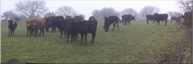
Herd of young beef cattle by the path
|
|
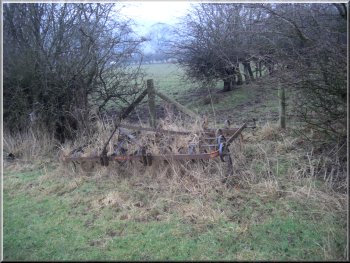
Overgrown harrow in the hedge bottom
The track leading to the plantation above the reservoir
Entering the plantation above Cod Beck Reservoir
At a broad stony forest access road on the left, we turned to follow this access road down the hillside almost to the edge of the reservoir.
|
At the track we turned left to follow the it to a gate into the forestry plantation above Cod Beck Reservoir and continued along the track through the plantation for a few hundred metres.
The track leading to the plantation above the reservoir
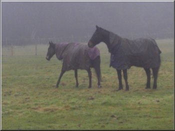
Horses wearing their waterproofs
Forest access road through the plantation
|
|
Picnic table beside the reservoir
The car park just visible through the trees
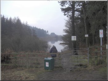
Just above the inlet to the reservoir we crossed the ford over Cod Beck and followed the path a few metres back into the car park and the end of our walk. The whole route had been 8km and it had taken us about 3 hours to walk including our stops.
|
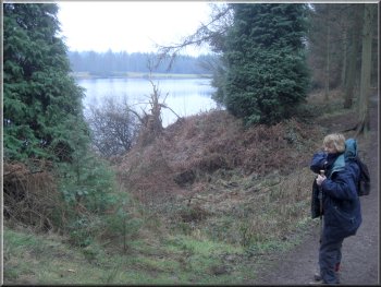
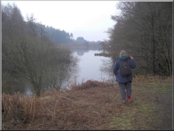
Here we turned right off the access road on to a gravel permissive path around the edge of the reservoir. We followed this path for about 1km to the head of the reservoir.
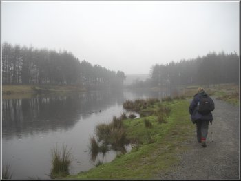
Permissive path around the reservoir
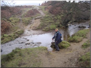
Crossing Cod Beck heading back to the car park
|