| 2001 walks | 2002
walks | 2003 walks | 2004
walks |
| 2005 walks | 2006
walks | 2007 walks | 2008
walks |
| 2009 walks | 2010
walks | 2011 walks | 2012 walks |
| 2013 walks | 2014 walks | 2015 walks | 2016 walks |
| 2017 walks | 2018 walks | 2019 walks |2020 walks |
| 2021 walks | 1993-2000 library | Find a Route Index |
| A few Routes to print out | Request a Route... |
Route No. 339 - Wednesday 12 May 2010
Cowhouse Bank, Newgate Bank, Rievaulx Moor,
High Baxton's farm, Carlton Grange circuit - 15km
North York Moors . . .
Route map from Ordnance
Survey Open Space service.
Map: OS Explorer 297 Lower Wharfedale & Washburn Valley at 1:25000
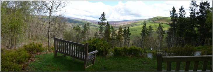
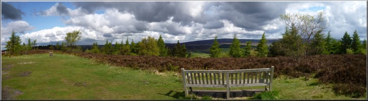
Seats to admire the view from Cowhouse Bank car park
|
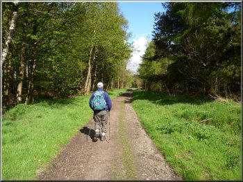
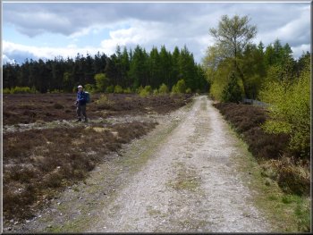
Track around the edge of Baxton's Wood
Track around the edge of Baxton's Wood
After about 2km we came to a minor road with another seat to enjoy the view this time looking north towards the head
of Bilsdale. At this spot there used to be an interesting aluminium sculpture consisting of two large offset roughly circular shapes that framed the
view. One of these large rings of aluminium was stolen soon after the sculpture was installed and more recently the whole sculpture has been
removed. It's sad. I liked it. It was a fine thing to come across in this wild place. |
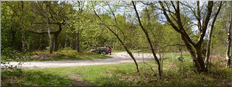
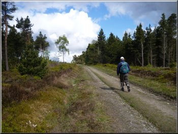
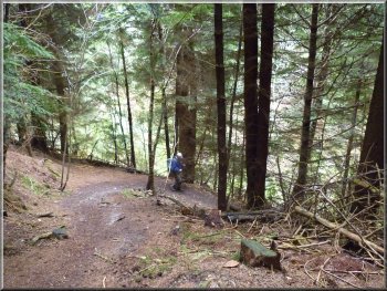
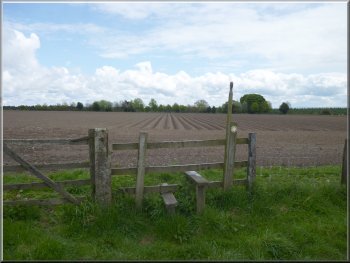
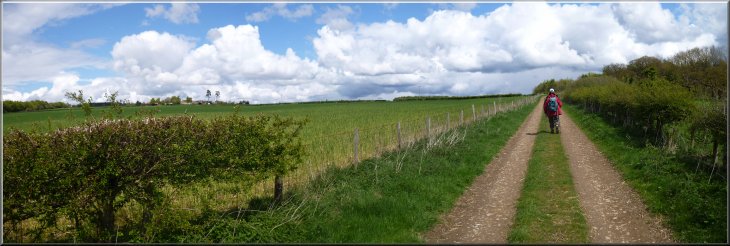
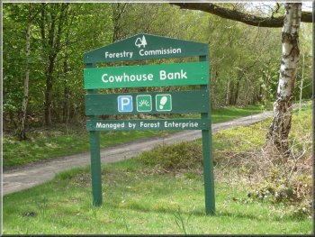
This morning my mate, Jim, and I drove out through Helmsley to the Forestry Commission car park at the top of Cowhouse Bank at map ref.
SE612886 on the road through Carlton towards Bransdale. There are some seats on the edge of the car park and a lovely view looking north
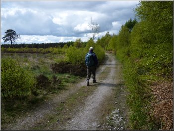
towards Bransdale. From the car park we set off walking North West on a track along the edge of the Baxton's Wood with the escarpment on our right.
Track around the edge of Baxton's Wood
The former site of the aluminium sculpture
|
View point where there used to be a large aluminium sculpture
|
|
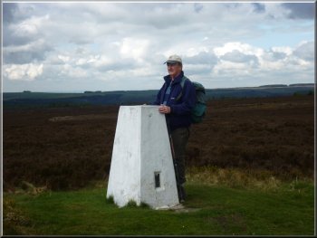
The trig point at map ref. SE588906
We followed the track beyond the trig point for another 2.5km to map ref. SE568893. Here there is another
track off to the right. |
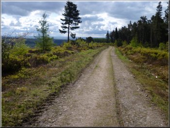
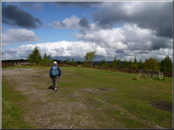
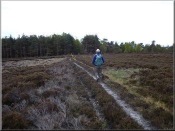
We continued along the track around the edge of the escarpment to
the trig point at map ref. SE588906.
The moorland track beyond the trig point
|
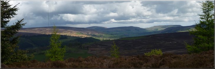
The view out to the head of Bilsdale and the distinctive shape of the Cleveland Hills
|
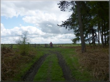
Turning on to the track across open access land
We turned right to walk along this track
heading roughly eastwards and after about 1km bending round to head south to the edge of a conifer plantation. |
There's no public footpath along this track but the whole moor here is open access land.
Nearing the conifer plantation across open access land
|
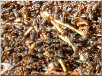
Seething mass of 1cm long wood ants on top of their nest

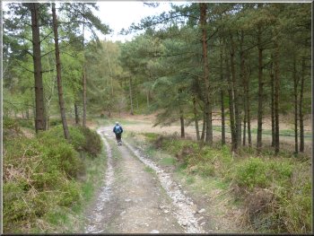
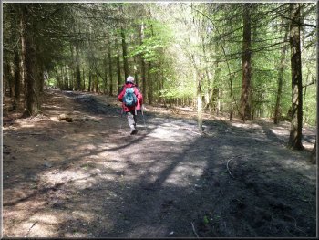
Track through the plantation
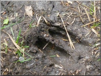
A very clear deer track on the path
Marker post at our turning into the forest off the track
There is a track running along the bottom of the valley. At this track we turned right and walked
along the bottom of the valley for about 100m to a marker posy on our left amongst the bilberry plants on the bank by the track. |
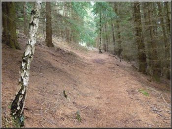
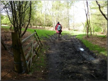
We followed the track through the
plantation for about 700m to map ref. SE582880. Here we turned right on to another track which has a public footpath along it. The track led us
down a steep slope into a small valley in the woodland
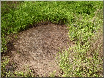
The large mound of a wood ants' nest
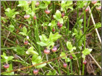
Young bilberries promising a good crop later in the year
Following the track down the slope into a small valley
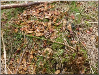
Debris of cones left by squirrels
|
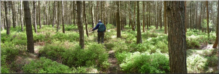
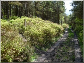
The path through the forest is narrow and may be hard to follow through the bilberries
|
Following the track down into a gully
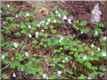
Wood sorrel on the forest floor
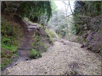
About 100m beyond this track the path
crosses a gully with a dry stream bed (subject to flash flooding) and climbs up to the edge of the forest at map ref. SE593877. |
This marks the start
of a narrow path through the trees which we followed crossing a forest access track after about 700m.
Dry stream bed (subject to flash floods) in the gully
Path climbing up from the stream bed in the gully
|
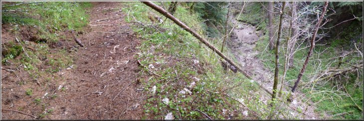
Looking down on to the stream bed as we began to climb out of the gully
The edge of the forest near Baxton's farm
|
Crossing the fields to the road near Baxton's farm
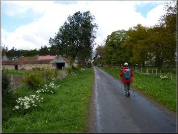
Walking along the road to Baxton's farm
At the road we turned left to walk along the road for about 300m to a track on the right
opposite the farm. |
Here we took the path heading roughly
eastwards across the fields to the road near Baxton's Farm.
Crossing the fields to the road near Baxton's farm
The track opposite Baxton's farm
|
The track across the top of Ash Dale
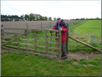
We followed the path across the fields past Carlton Grange farm where there is a small site for touring caravans. About 400m beyond the farm we came to the road at map ref. SE612875. |
We followed this track across the fields and then across a small wooded valley. This is the upper part of Ash Dale that goes south all the way to the edge of Helmsley.
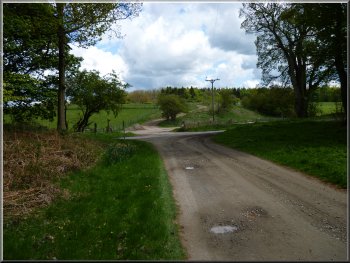
Track from Carlton Grange across the public road to the track opposite
|
Track followed by the Tabular Hills Route
|
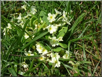
Primroses by the track
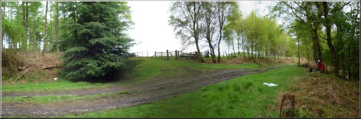
Nearing the car park at the end of our walk
We followed the track around the edge of the wood roughly in a semi-circle for about 2km back to the car park at Cowhouse Bank and the end of our walk. The whole route had been 15km and it had taken us around 5 hours to walk including our lunch stop. |
We crossed the road and followed a broad track opposite. The route of the Tabular Hills Walk goes along this track for about 1km.
Marker where the Tabular Hills route goes right off the track
The car park at the end of our walk
|