| 2001 walks | 2002
walks | 2003 walks | 2004
walks |
| 2005 walks | 2006
walks | 2007 walks | 2008
walks |
| 2009 walks | 2010
walks | 2011 walks | 2012 walks |
| 2013 walks | 2014 walks | 2015 walks | 2016 walks |
| 2017 walks | 2018 walks | 2019 walks |2020 walks |
| 2021 walks | 1993-2000 library | Find a Route Index |
| A few Routes to print out | Request a Route... |
Route No. 359 - Sunday 15 August 2010
Thwaite Bridge, Blades, Cotterdale circuit - 10km
Wensleydale,
Yorkshire Dales . . .
Route map from Ordnance
Survey Open Space service.
Map: OS Explorer OL19 Howgill Fells & Upper Eden Valley at 1:25000
This route is another contribution by Ray Brown of Northallerton.
Thanks again Ray! (I have not walked this route myself, Frank)
|
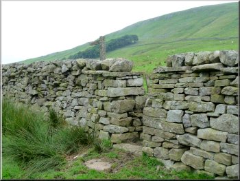
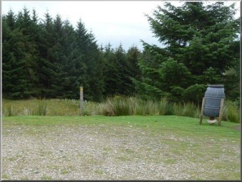
Stile at SD822925 above Thwaite Bridge
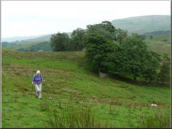
Keeping North of the copses
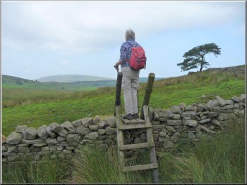
Ladder stile between Cotter and Yore House
After passing over stiles and a ford through a tiny brook we passed
to the right of Yore House farm over a stile with a signpost to Blades.
We kept well to the left of Cobbles Plantation and took an early lunch
as we awaited the weekly Waverley steam train excursion to pass over
Lunds Viaduct, half a mile away.
|
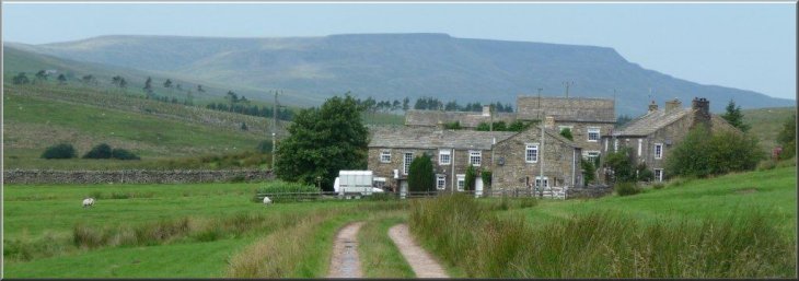
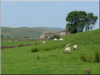
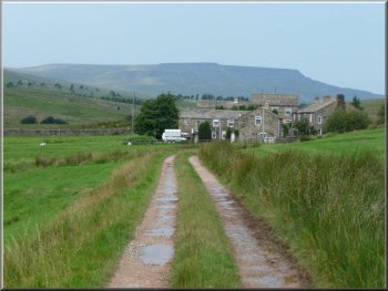
The walk began and ended at Thwaite Bridge House farm on the A684 at
SD826923 after we had parked in the lay-by some 370 yards further west.
On leaving the A684 we turned West through a signed farm gate and followed
way marks to a squeeze stile at SD822925. The path, mostly obvious,
follows a 290° bearing and we took care to keep to the right of
two walled copses before heading for the southern edge of Cotterside
Plantation.
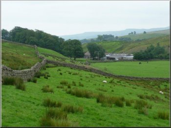
Looking back to Thwaite Bridge Farm
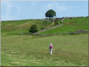
Heading towards Cotterside Plantation
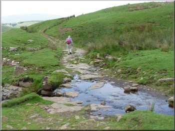
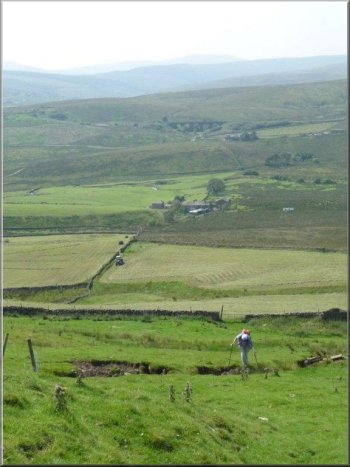
Crossing Tarn Gill between Cotter and Yore House
|
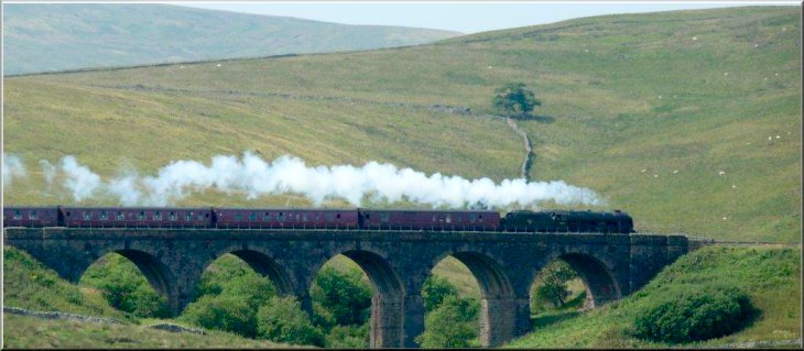
Scots Guardsman on Lunds viaduct on the Settle to
Carlisle line |
|
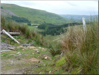
Our approach to Yore House
Looking back down the hillside to Blades
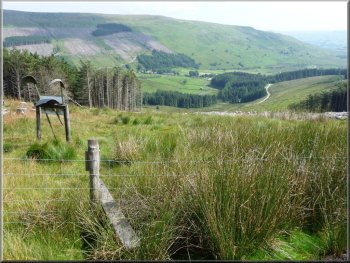
High Dyke
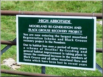
Notice at High Dyke
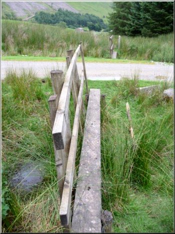
Footbridge at SD811943 across Johnston Gill
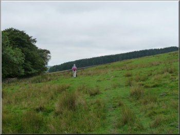
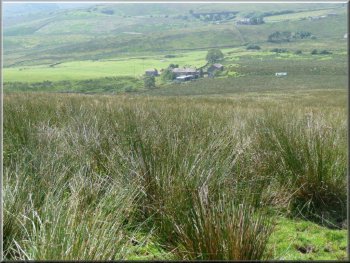
After this the gradient eased progressively as we traversed a kilometre
of moorland with a row of grouse butts seen to the right.
|
A notice at Blades that diverted us around the right of the property
through rough ground was supplemented by another dissuading us from
entering the farmyard. The path to High Dyke was initially through bog
and reeds but eventually gave way to a region of pasture before a steep
climb.
Approaching Blades with Wild Boar Fell beyond
Crossing the pasture towards High Dyke
Steep climb towards High Dyke

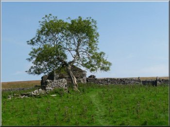
A lone Xmas tree by the
path over Tarn Hill
(Norway Spruce)
|
|
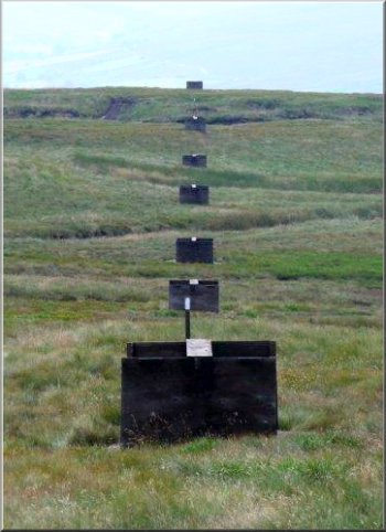
Line of grouse shooting butts heading Southwest
from the path over Tarn Hill
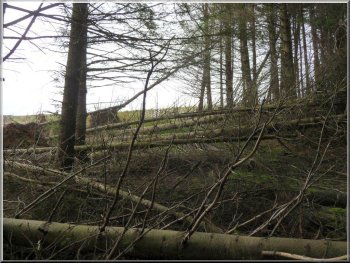
Looking back at the obstacle course
On crossing a small footbridge leading into the forest we were confronted
by a barrier of five conifers, complete with their branches, which had
been uprooted so as to fall directly across the right of way. It was
now essential to resort to a magic carpet to surmount this obstacle
as limbo dancing offered no prospect of success.
|
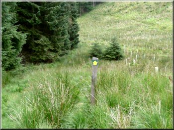
There was a waymark as we reached the highest point at 1791feet (546
metres). Here the path became indistinct and we continued in the same
easterly direction, now slightly downhill. When Cotterdale could be
seen in the distance we aimed towards the hamlet. Tarn Gill runs in
the same direction and, when we moved to its left "bank", a path emerged
which we followed to a forest recently partially felled and replanted.
The descent towards Cotterdale
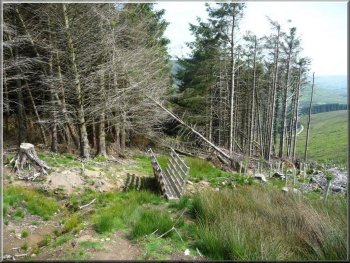
Entry to what remains of the forest above Cotterdale
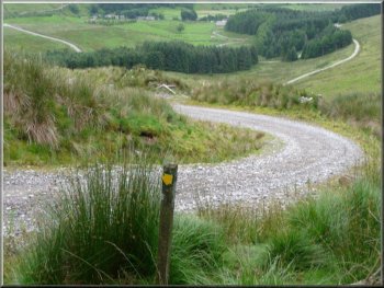
Waymarked track down into Cotterdale
|
|
The path branched off to the right
Waymarked track down into Cotterdale
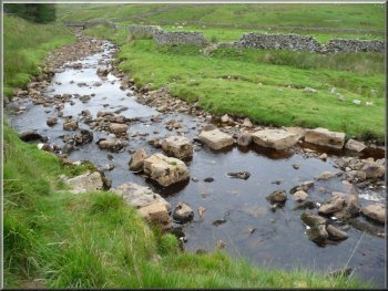
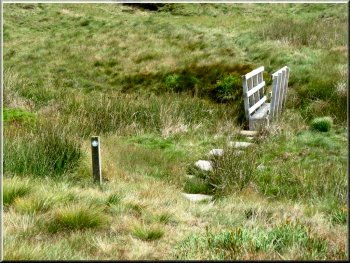
Stepping stones over West Gill
|
We resumed the short forest path which emerged to join a gravel track
for some 20 metres before a path branched off to the right and led directly
downhill to a further gravel track which was crossed.
Waymarked track down into Cotterdale
The track down into Cotterdale led over yet another
gravel track
|
|
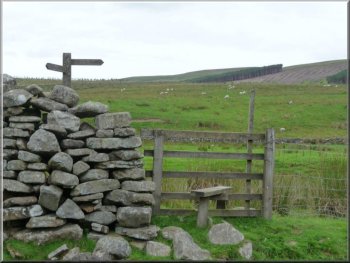
Signpost pointing to Cotterdale
. . . to a footbridge over West Gill
Continuing in the same south direction the path climbed steeply up
to the surfaced road that serves Cotterdale. This was perhaps the sting
in the tail of our walk as we crossed over the road to begin about 60
metres of more ascent over High Rigg before dropping down to Thwaite
Bridge. Here flying ants provided a real sting in the tail to what had
proved to be a surprisingly strenuous 10km.
Ray Brown
|
The path now had mature forest to the left with replanted forest to
the right and eventually led over yet another gravel track to stepping
stones over West Gill, a stile and a signpost pointing to Cotterdale.
We then made a bee-line over the fields to the hamlet where we turned
right and made for a squeeze style to follow the West bank of East Gill.
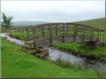
The path bore right through a field to a footbridge over West Gill.
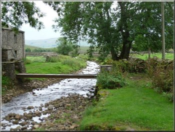
A squeeze style to follow the West bank of East
Gill . . .

The path climbs steeply up to the surfaced road
|