| 2001 walks | 2002
walks | 2003 walks | 2004
walks |
| 2005 walks | 2006
walks | 2007 walks | 2008
walks |
| 2009 walks | 2010
walks | 2011 walks | 2012 walks |
| 2013 walks | 2014 walks | 2015 walks | 2016 walks |
| 2017 walks | 2018 walks | 2019 walks |2020 walks |
| 2021 walks | 1993-2000 library | Find a Route Index |
| A few Routes to print out | Request a Route... |
Route No. 363 - Saturday 28 August 2010
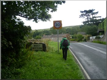
West Witton, River Ure,
Templars Chapel circuit - 10km
Wensleydale,
Yorkshire Dales . . .
Route map from Ordnance
Survey Open Space service.
Map: OS Explorer OL30 Yorkshire Dales Northern & Central areas at 1:25000
|
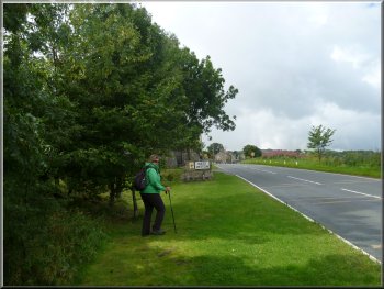
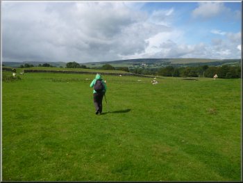
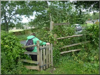
Leaving the lay-by to to walk into West Witton
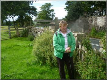
We parked in a large gravel lay-by on the Eastern edge of the village
at map ref. SE067884. From the lay-by we walked about 300m up the road
into the village and turned right off the main road on to the access
road to Wanlass Farm.
|
We had a few things to do this morning so it was 12 o'clock by the
time my wife and I arrived in Leyburn in Wensleydale. We stopped in
the market square for some lunch before driving a few kilometers further
up Wensleydale to West Witton.
Start of the access road to Wanlass Farm
|
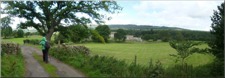
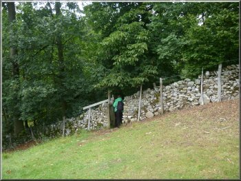
Approaching Wanlass Farm along the access road |
|
Route of the old by-way across the field
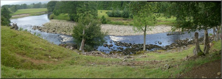
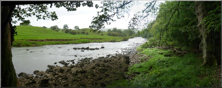
Looking downstream where we met the River Ure
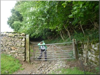
As soon as we were through the second field gate at map ref. SE056895,
we turned right to follow a public right of way to the River Ure.
|
We walked along the farm access road for about 1.2km to map ref. SE059895.
Here we turned left to follow an old by-way across the fields.
Wooded bank of the River Ure
Looking down the steep bank of the River Ure
|
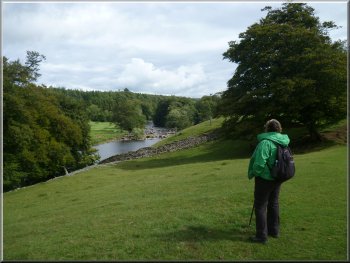
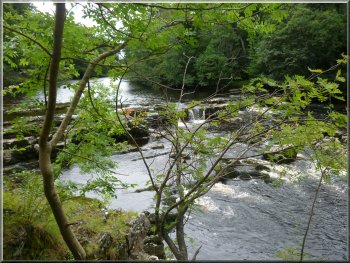
We came to a bend in the river where there were some rapids and a very
pleasant view of the river |
|
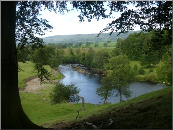
River Ure from the path above the river
After about 150m we came to a bend in the river where there were some
rapids and a very pleasant view of the river.
|
At the river bank we turned left walking along the path at quite a
height above the river.
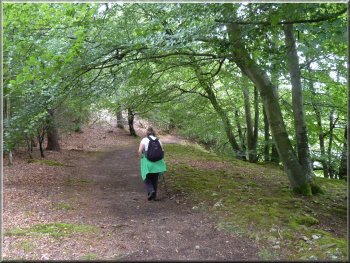
Our path following the river upstream
|
|
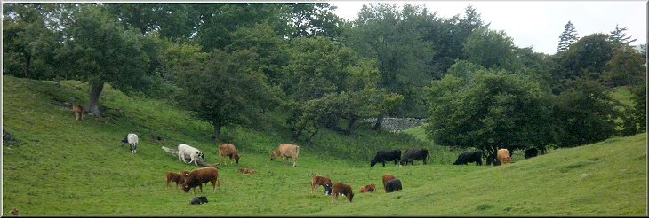
Cattle grazing in the riverside pasture
|
|
Entering the woods above Redmire Force
River Ure below Redmire Force
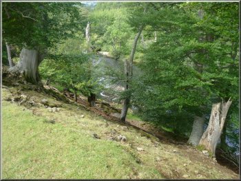
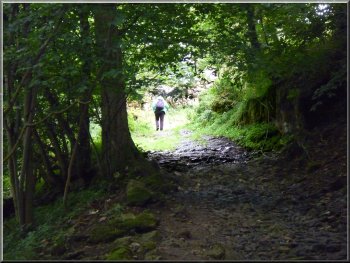
Along the way the river was not always visible but there were some
lovely views of it. Part way along the path goes through an area of
large grassy mounds which I believe are morrains left by the retreating
glaciers at the end of the last ice age.
|
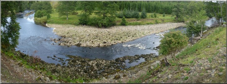
We continued along the path following the river for almost 3km to map
ref. SE031895, where there are some stepping stones over the river (only
passable when the river is low).
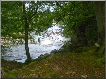
The woods above Redmire Force
Redmire Force on the River Ure
|
|
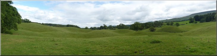
Glacial morrains by the River Ure
River Ure just below the stepping stones that lead across to Redmire
|
|
Woodland path leading down to the stepping stones
Track up to the main road
We turned left to walk along the road for about 500m to Temple Farm.
|
At the stepping stones we turned away from the river to follow a track
out to the road (A684) at map ref. SE028889.
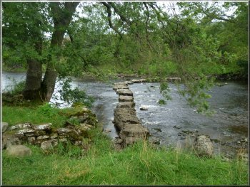
Stepping stones to Redmire across the R. Ure
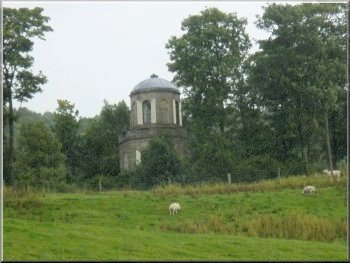
The temple at Temple Farm seen from the track
|

Track up to the main road (A684) from the stepping stones |
|
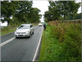
Walking along the A684
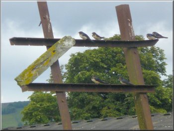
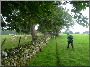
Young swallows gathering for the migration
We followed a path in a Southerly direction across a field to the
edge of a wood at map ref. SE033887. Through the gate into the wood
there was a stony track climbing up through the wood to a field at the
top of the wood.
|
It is a busy main road and we had to keep well into the wet long grass
on the narrow verge to be clear of the fast moving traffic. At Temple
Farm, map ref. SE032889, we turned right off the main road.
Leaving the main road at Temple Farm
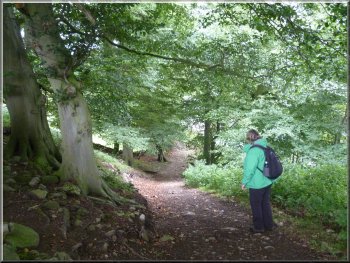
Path to the Templars' Chapel
|
|
Woodland path to the Templars' Chapel

Sign posts at the templars' Chapel
|
Here, through a stile, we came to the ruins of the Templars' Chapel.
There is not much of the place left, but I wondered why there were enough
Knights Templar in this remote place to warrant the building of their
own chapel.
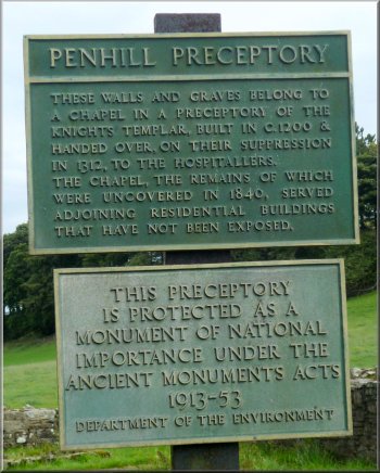
Information about the Templars' Chapel
|
|
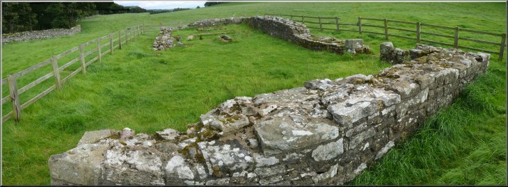
Ruins of the Templars' Chapel
|
|
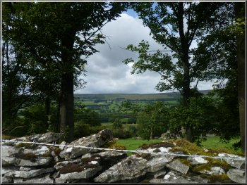
View across Wensleydale from our path
Redmire village across the valley
After about 1.5km we met the main road again at map ref. SE048888.
|
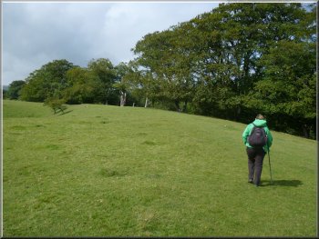
From the chapel we continued along the path around the top edge of
the woods.
Our path along the top edge of the woods
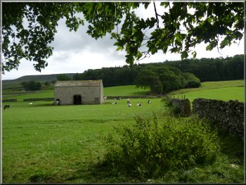
Stone barn in the field by our path
|
|
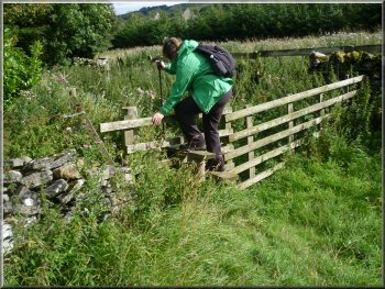
Stile into the small wood
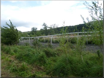
Racehorse training gallops by our path
There we found a stile and the path resumed to cross two more fields
bringing us to the road on the Western end of West Witton village.
|
Fortunately we did not have to join the road again. The path continued
in the fields and climbed up away from the road. The path disappeared
for a couple of fields and we simply kept to the route shown on the
map until we came to the corner of a small wood at map ref. SE052886.
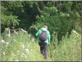
Overgrown path along the wood edge
Joining the main road at the edge of West Witton
|
|
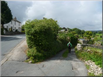
Walking back through West Witton
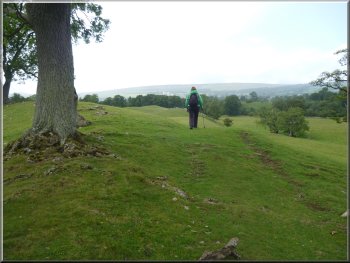
The weather had been as forecast, lots of light squally showers and
bright sunny intervals with a strong breeze. Overall a very pleasant
walk.
|
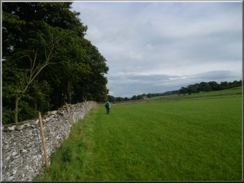
From there we walked along the road through the village for just over
1km back to our parking spot. The whole route had been about 10km and
it had taken us three and a half hours to walk.
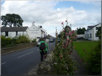
Walking back through West Witton
|
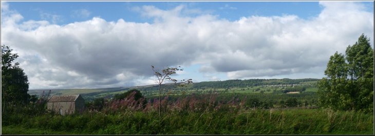
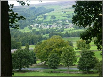
Looking across Wensleydale from the lay-by where we parked |