| 2001 walks | 2002
walks | 2003 walks | 2004
walks |
| 2005 walks | 2006
walks | 2007 walks | 2008
walks |
| 2009 walks | 2010
walks | 2011 walks | 2012 walks |
| 2013 walks | 2014 walks | 2015 walks | 2016 walks |
| 2017 walks | 2018 walks | 2019 walks | 2020 walks |
| 2021 walks | 1993-2000 library | Find a Route Index |
| A few Routes to print out | Request a Route... |
Route No. 572 - Saturday 13 December 2014
Easingwold, Knott Lane, Crankley Lane,
Lund Sand Lane, Stoneycourse Lane, Thirsk Rd,
North Moor La, Toft Ings La, Raskelf Rd circuit
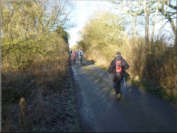
12km - Easingwold . . .
Note: There is a series of 12 leaflets giving details of walks around Easingwold all available from the Tourist Information Point in Chapel Street, Easingwold. This route is walk No 4 in this series.
Route map from Ordnance Survey
Open Space service.
Map: OS Explorer 299 Ripon & Boroughbridge
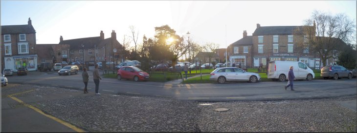
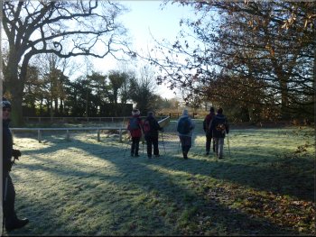
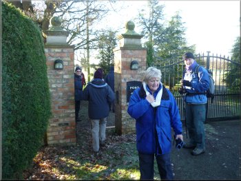
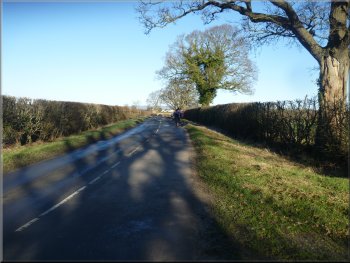
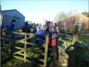
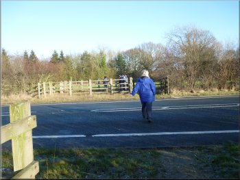
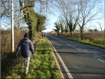
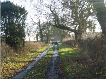
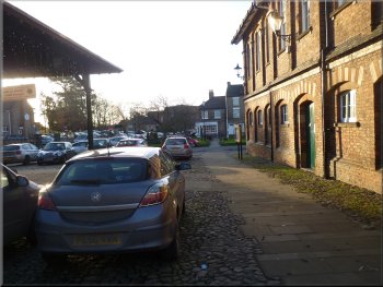
Our starting point in Easingwold Market Square
|
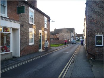
Chapel Street leading from the Market Square to Long Street
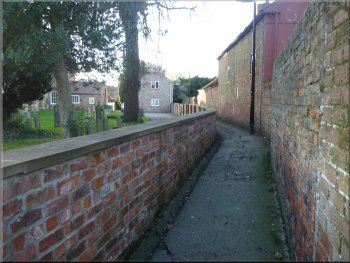
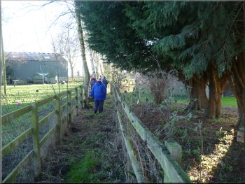
The alley way along the side of the Catholic Church
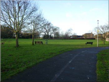
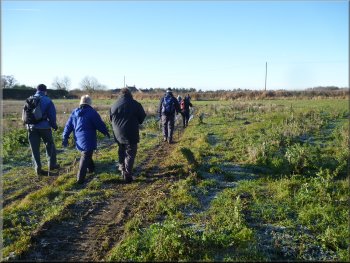
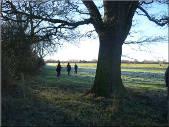
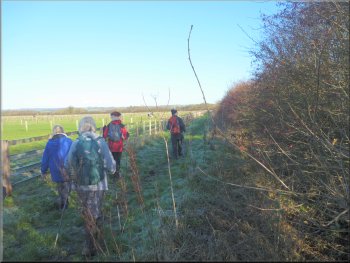
The path crosses the show field to the far left hand corner
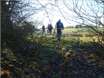
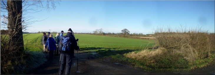
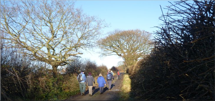
It continues across Long Street and along an alley way next to the Catholic church on Long Street. After about 250m the route turns right off the alley way to cross what little remains of the old show field where the Easingwold agricultural show was held. The rest of the old show field is now a housing estate. |
Once a month I have a walk with a group of friends. We've been walking together for over twenty years and at this time of year we like to have a Christmas meal after the walk. So today we all met in Easingwold and followed a route that starts from the market square. From the market square the route goes along Chapel Street to Long Street.
Looking across Long Street to the Catholic Church
Nearing the turning off the alley way to the show field
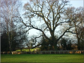
Impressive old oak tree on the show field
|
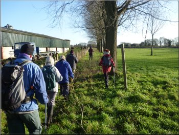
Passing the oak tree on the showfield as we left Easingwold
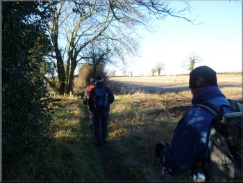
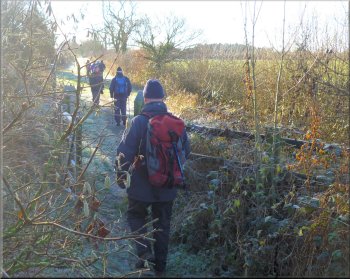
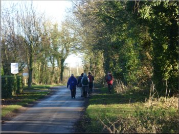
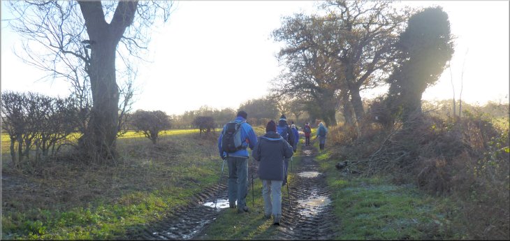
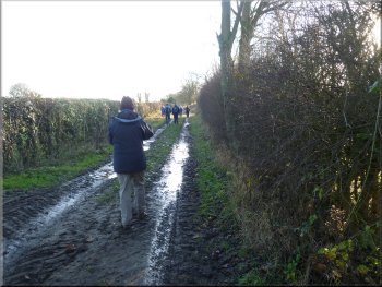
Path across the fields to Knott Lane
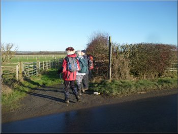
Walking along Knott Lane to the by-pass(A19)
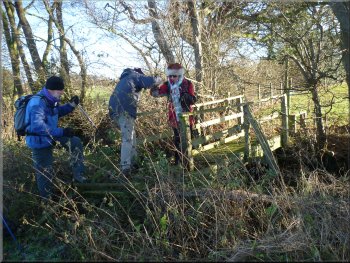
There's a pedestrian gate on to the
by-pass(A19). It's a busy road with fast moving traffic so we had to wait a while for an opportunity to scurry across to the path down the embankment
to the continuation of Knott Lane on the other side of the by-pass. |
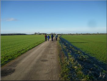
There's a lovely old oak tree with a wooden rail around it on the show field and we followed the footpath past the oak tree and out across the fields to
Knott Lane. At Knott Lane we turned left and walked along the lane to the dead end at the Easingwold by-pass.
Path across the fields to Knott Lane
Path across the fields to Knott Lane
Re-joining Knott Lane across the by-pass(A19)
|
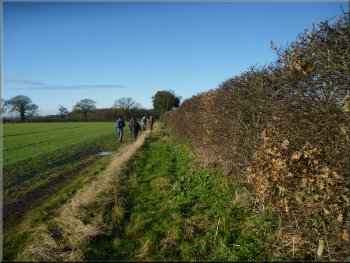
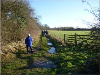
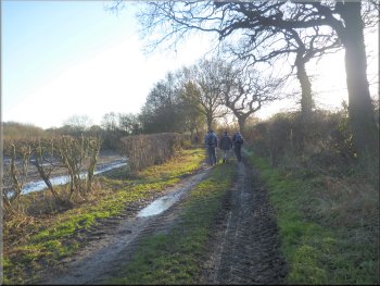
Following Crankley Lane towards Alne Road
Turning off Crankley Lane along the drive to Crankley Grange
We continued along
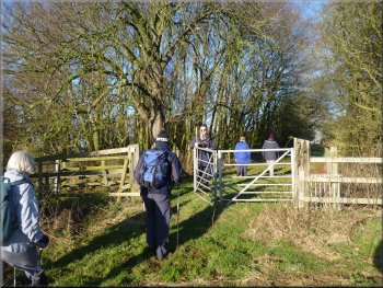
Crankley Lane almost to the junction with Alne Road. A few metres before the junction we turned left off Crankley Lane to follow a footpath along the
drive to Crankley Grange and through a pedestrian gate next to the large iron gates across the drive to the grange. |
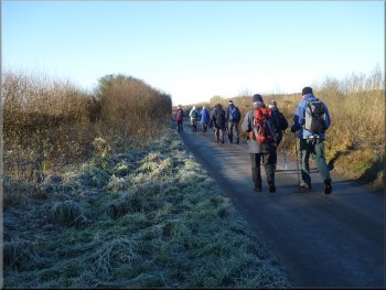
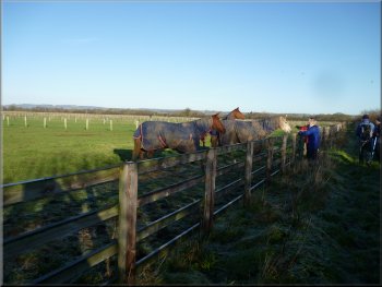
From the by-pass we followed Knott Lane for about 250m to it's junction with Crankley Lane. At the junction we turned right and walked along
Crankley Lane, round a right hand bend and continued past Low Crankley Farm where Christmas Tree sales were in full swing.
Following Crankley Lane towards Alne Road
The path next to the gates to Crankley Grange
|
Path across the fields from Crankley Grange to Alne Road
Path across the fields from Crankley Grange to Alne Road
Following Alne Road
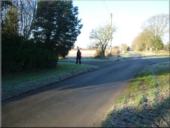
We turned right
to walk along Alne Road for about 250m to the farm access track on the left leading to Lund farm. We had left a car on the roadside verge here for
my wife and my sister to return home to complete the preparation of our Christmas dinner. |
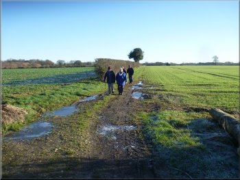
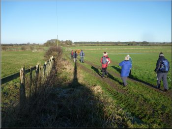
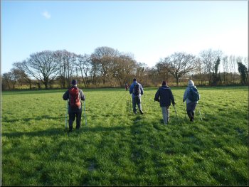
We followed the path past Crankley Grange and across the fields next to some woodland. Three Roe deer appeared from the wood and
disappeared across the fields at high speed. We followed the path turning right to come out on to Alne Road at map ref. SE506683.
Path across the fields from Crankley Grange to Alne Road
Approaching Alne Road from Crankley Grange
Turning off Alne Road towards Lund Farm
|
Following the access road towards Lund Farm
|
Following the access road towards Lund Farm
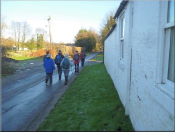
Following the path to Manor Farm
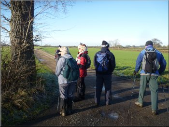
We stopped for a chat about the lovely weather and Christmas preparations etc before we continued from Manor farm along the farm access road, called Lund Sand Lane for about 1km to Raskelf Road. There was a lovely view ahead to the
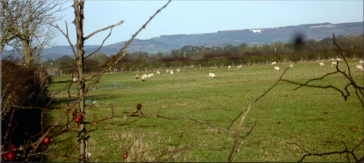
Hambleton Hills and the Kilburn White Horse cut into the hillside. |
We turned left off Alne Road and followed the farm access track towards Lund farm for about 600m. Here the access track turns left to the farm but
we turned right to follow a footpath along a farm track along the edge of the fields for about 500m to Manor Farm. The public footpath goes through
the farm yard where we met the farmer and his dog.
Following the path to Manor Farm
Following the path through Manor Farm
|
Leaving Manor Farm along Lund Sand Lane
|
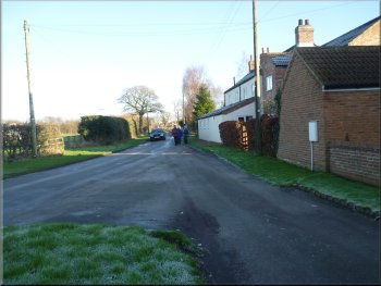
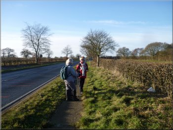
Crossing Raskelf Road to follow Stoneycourse Lane
Following Stoneycourse Lane to the by-pass(A19)
Crossing the by-pass(A19)
We turned right and followed a path parallel to the by-pass for about 150m to a crossing point
on the by-pass. We scurried across the by-pass once more and followed the path back towards the roundabout for about 200m before we turned
right along the path for about 100m to Thirsk Road. |
We crossed Raskelf Road and took the track opposite called Stoneycourse Lane. The track runs between dozens of small horse paddocks rented
out by the local livery stables. After about 700m we came to the Easingwold by-pass again. There is a stile to go straight across the by-pass but it's
more awkward to cross it so close to the roundabout.
Following Stoneycourse Lane to the by-pass(A19)
Path to a crossing point on the by-pass(A19)
Path from the by-pass(A19) to Thirsk Road
|
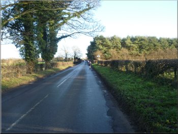
Walking 200m along Thirsk Road
Following North Moor Road

The stile off North Moor Road . . .
Here there is a stile on the right hand side of the road. It's a bit high and awkward and leads to a narrow
fenced path between the house gardens on the right and a paddock on the left.
|
We turned right to walk along Thirsk Road for about 200m to North Moor Road on the left. At this junction we turned left to walk along North Moor
Road for about 400m to map ref. SE513710.
Following North Moor Road from Thirsk Road
Following North Moor Road
. . . leading to a fenced path between gardens & paddock
|
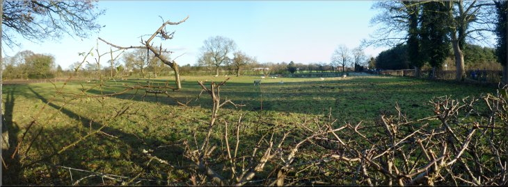
Path across the fields from North Moor Road
Path across the fields to Thirsk Road

Final stile on to Thirsk Road
Beyond the telegraph pole there is a
footbridge over a stream at the edge of the field. There was a stile over the field boundary fence to the footbridge but the fence has collapsed taking
the stile with it. We picked our way over the debris of the post and wire fence and stile to reach the footbridge. Once across the footbridge we
continued around the edge of the field to a stile on to Thirsk Road. |
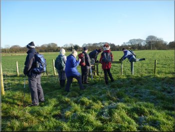
The path comes out into a field and continues along the field boundary. At the end of the field there is a post and wire fence and a stile. Unfortunately
they don't match! I think the fence has been moved about a metre and the stile left where it was. We helped each other over and continued straight
across the next field. There is a telegraph pole in the middle of the field that makes a good land mark to aim for.
Awkward mis-matched stile & fence
Picking our way across a collapsed fence & stile
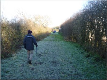
Walking along Thirsk Road to Toft Ings Lane
|
Following Toft Ings Lane from Thirsk Road to Raskelf Road
|
Following Toft Ings Lane from Thirsk Road to Raskelf Road
Following Toft Ings Lane from Thirsk Road to Raskelf Road
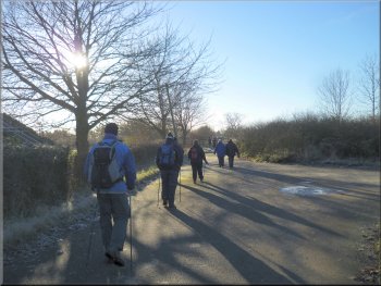
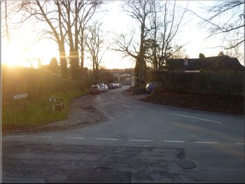
After about 700m we came to Raskelf Road. Here we turned left and walked along Raskelf road for about 800m to the mini-roundabout at the top of Long Street.
|
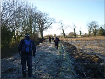
We turned right to walk along Thirsk Road for about 150m to a track between the fields on the left hand side of Thirsk Road. We turned left here to follow the track, a bit rutted and muddy in places.
Following Toft Ings Lane from Thirsk Road to Raskelf Road
Heading back into Easingwold along Raskelf Road
|
Looking across the fields beside Toft Ings Lane
|
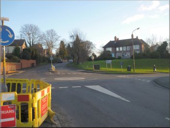
The mini-roundabout at the top of Long Street
After about 150m there is the junction with Church Avenue on the right, opposite the parish church. |
At the mini-roundabout at the top of Long Street the route continues straight on up Church Hill.
Looking down Church Avenue from the church
|
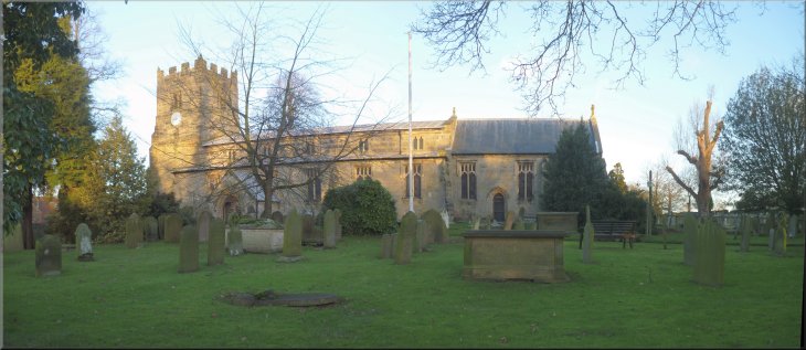
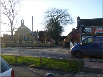
Easingwold Parish Church
|
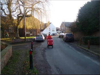
Looking along Tanpit Lane to the Market Square
The whole route had been 12km and it had taken us three and a half hours to walk it. Just enough exercise to build up an appetite for our Christmas dinner. |
At the junction the route turns right opposite the church, down Church Avenue and Tanpit Lane to emerge in the Market Square and the end of the walk.
Easingwold Market Square at the end of the walk
|