| 2001 walks | 2002
walks | 2003 walks | 2004
walks |
| 2005 walks | 2006
walks | 2007 walks | 2008
walks |
| 2009 walks | 2010
walks | 2011 walks | 2012 walks |
| 2013 walks | 2014 walks | 2015 walks | 2016 walks |
| 2017 walks | 2018 walks | 2019 walks |2020 walks |
| 2021 walks | 1993-2000 library | Find a Route Index |
| A few Routes to print out | Request a Route... |
Route No. 581 - Thursday 30 April 2015
Lockton, Levisham Beck, The Valley Church,
Sleights Road circuit - 5km
North York Moors . . .
Route map from Ordnance Survey
Open Space service.
Map: OS Explorer OL27 North York Moors Eastern area
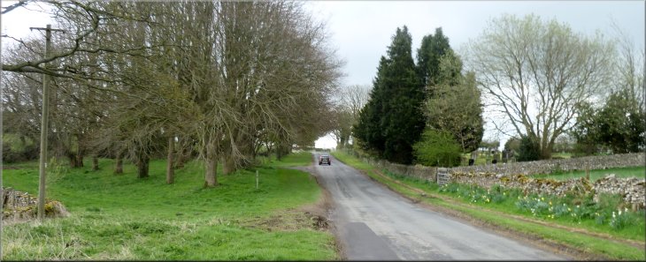
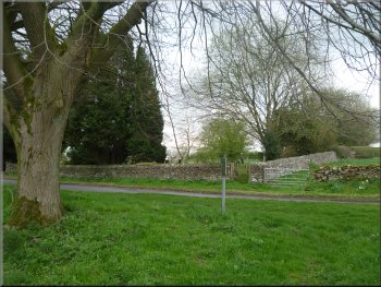
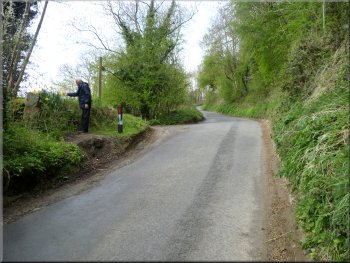
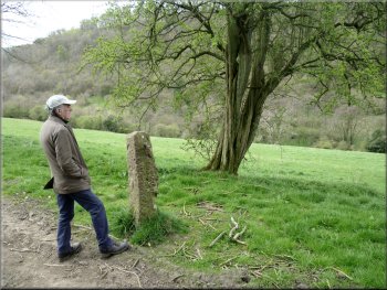
There was room to park on the wide grass verge opposite the cemetery
|
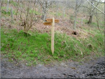
Looking back past the sign post to the cemetery wall
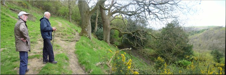
Path contouring round the hillside to a gate in the wall
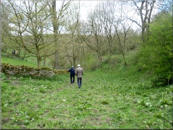
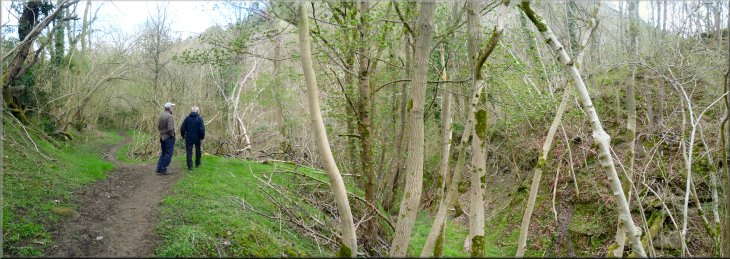
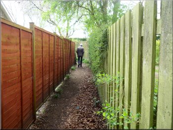
Start of the little wooded valley
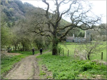
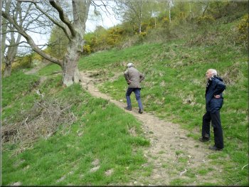
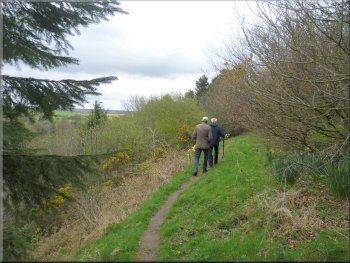
There is a sign post on the grass verge opposite the cemetery indicating a
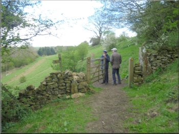
public footpath through a field gate a few metres off the road. We went through the gate and followed a path contouring around the hillside for about
100m to a pedestrian gate through the wall at the end of the field. The path continues through the gate but, just through the gate, our route turns off
this path and heads down the steep slope where there is no defined path to follow. The right of way crosses a deeply rutted farm track to reach the
start of a narrow wooded valley. |
Each Spring for over a decade now we have had a short break with my wife's two sisters and their husbands, somewhere with good walking for the
brothers-in-law and some good sightseeing for the sisters. This year we are staying in a holiday cottage on the edge of Sleights overlooking the Esk
valley in the North York Moors. Today's walk starts in Lockton just off the A169 Pickering to Whitby road at map ref. SE846899. We parked on the
wide grass verge opposite the cemetery at the eastern end of the village.
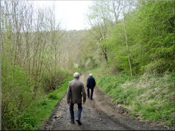
Setting off through the gate
Heading down the hillside across a farm track at the bottom
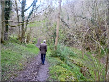
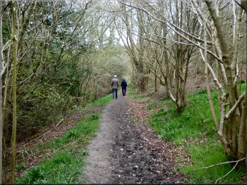
There was a good wide path down the little valley
|
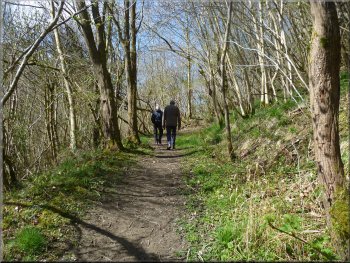
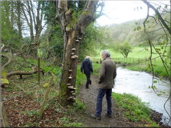
The path continued down the wooded valley
|
The path continued down the wooded valley
The path continued down the wooded valley
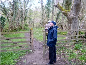
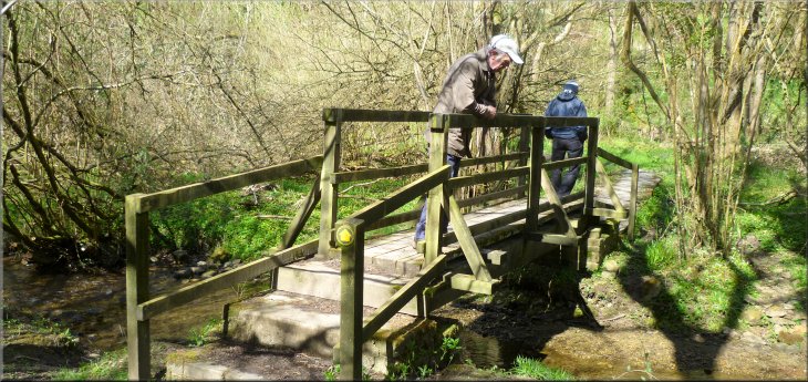
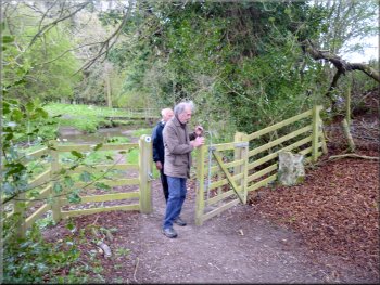
Home made iron gate near the footbridge
We passed through a narrow home made iron gate and turned right to cross a footbridge over the beck, then turned left to continue along the path. |
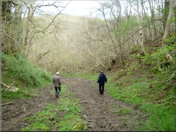
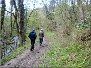
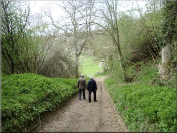
We continued down this little valley where there was now a clear path which can be very muddy at times, but it was dry today.
The path continued down the wooded valley
The path continued down the wooded valley
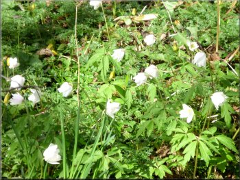
Wood anemones by the path
|
Footbridge over the beck
|
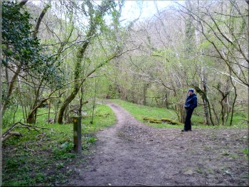
Sign post where the path forks . . .
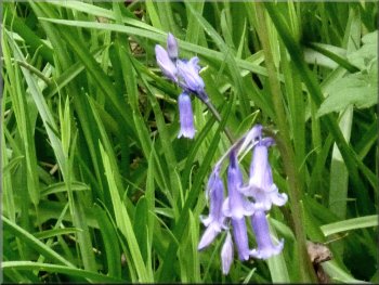
Bluebells by the path
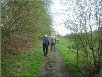
Path from the sign post heading for the road
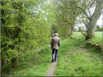
At the junction marked by the sign post we kept to the left hand fork in the path. We followed this path for about 350m to a sharp bend in the
road at map ref. SE834902. |
The path climbed up the steep sided valley through dense woodland for a few hundred metres to a wooden sign post on the right of the path.
. . . we kept to the left hand fork
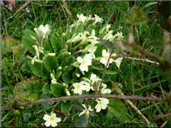
Primroses by the path
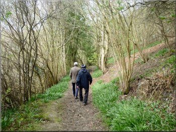
Woodland path heading for the road
|
Joining the road on a bend from the woodland path
|
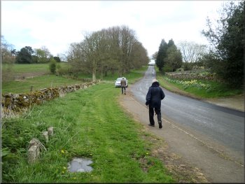
Walking 100m up the road from the bend
Path from the road down to the church & Levisham Beck
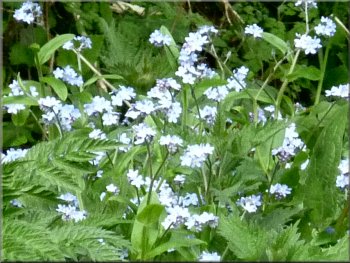
Forget-me-nots by the path
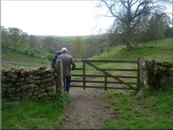
We turned left off the road to follow this track down for about 250m to The Valley Church at map ref. SE832900. |
At the road we turned right to walk up the hill along the road for about 100m to a track on the left hand side of the road.
Our turning off the road on the left
Path from the road down to the church & Levisham Beck
Path from the road down to the church & Levisham Beck
|
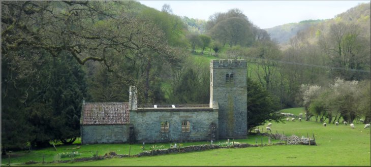
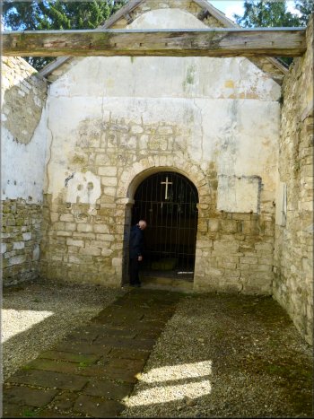
The Valley Church of St. Mary The Virgin
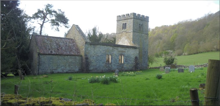 The Valley Church of St. Mary The Virgin
 |
Ruins of the Valley Church
|
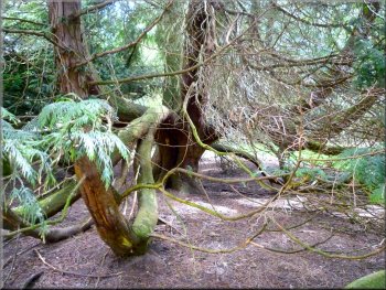
Yew tree at the Valley Church - a few hundred years old?
|
Ruins of the knave at the Valley Church
|
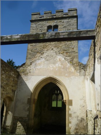
Ruins of the knave at the Valley Church
|
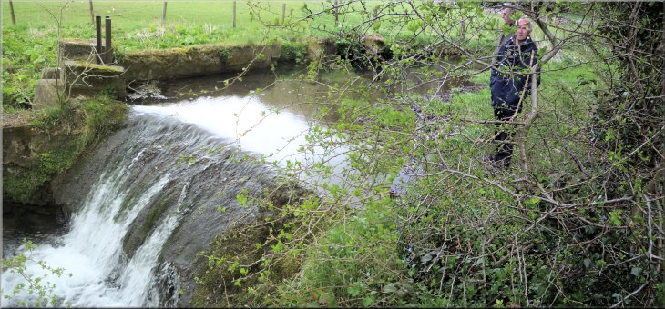
Weir on Levisham Beck
|
Approaching the footbridge over Levisham Beck
Leaving the weir to walk up to the Sleights Road track
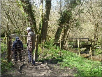
We crossed the footbridge over the beck and continued along side the beck for a few metres to a weir before climbing up the bank to join a track called Sleights Road heading down the valley. |
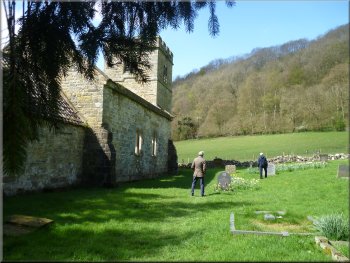
We spent a few minutes exploring the site of the church and noticed that the churchyard was still in use for burials. From the church we continued along the path down to Levisham Beck.
Path from the footbridge to the weir on Levisham Beck
Path up from Levisham Beck to the Sleights Road track
|
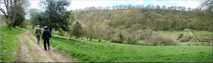
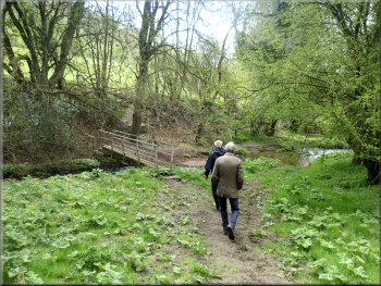
Following the Sleights Road track down the valley of Levisham Beck
|
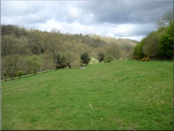
Enjoying the view across the valley of Levisham Beck
Path up through the scrub to the woodland
Narrow path up the steep hillside
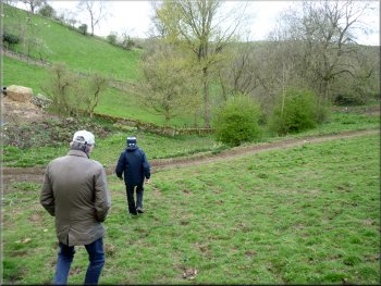
We crossed the pasture to the edge of the scrub and woodland and a few metres into the woodland the path doubled back to climb up to the valley rim at the top edge of the woodland. |
We followed the Sleights Road track down the valley of Levisham Beck for about 500m. Then we turned left off the Sleights Road track to follow a feint path heading diagonally up the valley side.
Looking back down the slope to the Sleights Road track
Climbing up from the bend in the path
Reaching the grassland at the top of the climb
|
Looking across the valley of Levisham Beck where the path doubles back to climb the hillside
|
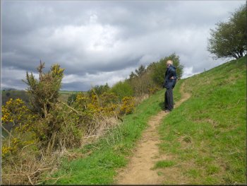
Grassland along the top edge of the wood
Path along the top edge of the woods
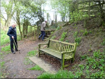
Seat in the woods where the path turns sharp right
We continued along the path just inside the top edge of the woodland for a few more hundred metres to another seat in the woodland. Here the path turned sharp right and passed between the houses on the edge of Lockton to emerge into the street at map ref. SE839899. |
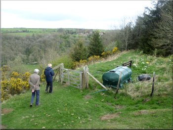
We continued along the grassland just above the top edge of the woodland for about 350m. The path then passed through a pedestrian gate to a seat with a fine view across the valley. There were a few small headstones here amongst the daffodils.
Going from the grassland back into the top edge of the wood
Path along the top edge of the woods
Path between to houses on the edge of Lockton
|
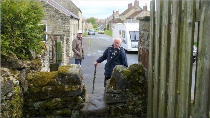
The path emerged onto the street in Lockton
|
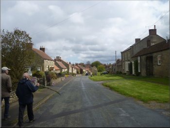
Following the road through Lockton
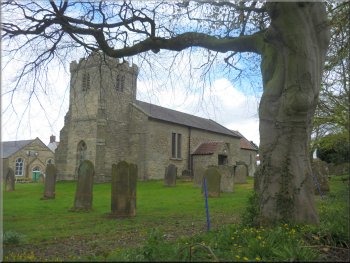
Parish Church of St. Giles in Lockton
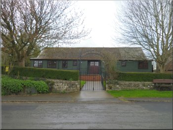
The village hall in Lockton
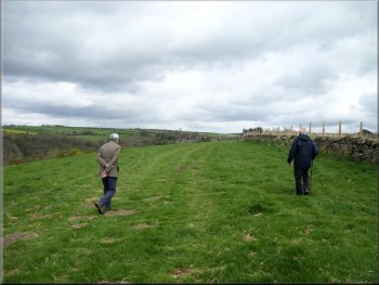
We continued past the village hall and out to the edge of the village where our car was parked opposite the cemetery at the end of our walk. It was only a short walk of about 5km but we had passed through some interesting and very pretty countryside along the way. The walk had taken us almost two hours including our exploration of the Valley Church. |
We followed the road through the village past a cafe and pleasant village green area to the parish church of St Giles. Just beyond the church we came to Lockton Youth Hostel, a small, plain brick building. After the youth hostel the road bent round to the right and headed down past farm vehicles parked by a farm entrance.
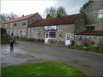
A cafe just off the village street in Lockton
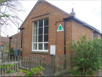
Lockton Youth Hostel
Back to the car at the end of the walk
|
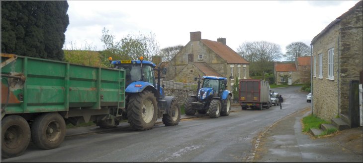
Farm vehicles parked along the road in Lockton
|