|
2001 walks |
2002
walks |
2003 walks |
2004
walks |
|
2005 walks |
2006
walks |
2007 walks |
2008
walks |
|
2009 walks |
2010
walks |
2011 walks |
2012 walks |
|
2013 walks |
2014 walks |
2015 walks |
2016 walks |
|
2017 walks |
2018 walks |
2019 walks |
2020 walks |
|
2021 walks |
1993-2000 library |
Find a Route Index |
|
A few Routes to print out |
Request a Route... |

Route No. 712
Wednesday 21 March 2018
The Bog(car park),
Shropshire Way, Stiperstones,
Moorland tracks circuit - 6km
Shropshire Hills . . .
Route map from Ordnance Survey
Open Space service.
Map: OS Explorer 217 The Long Mynd & Wenlock Edge
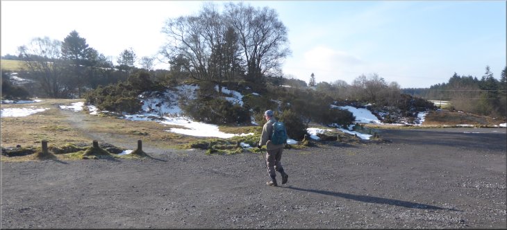
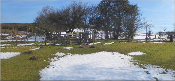
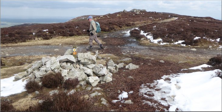
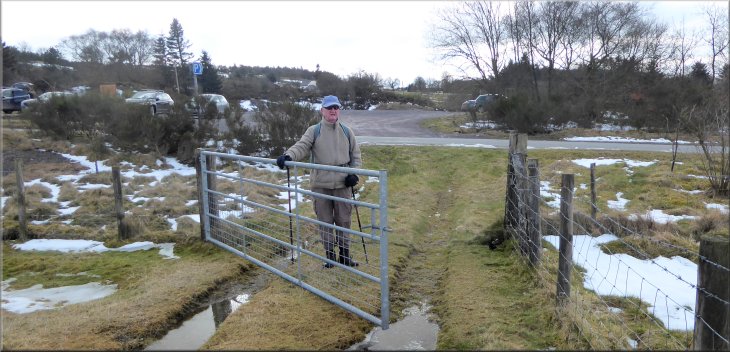
Setting off from the car park near The Bog Visitor Centre at The Stiperstones
My friend & neighbour, Jim, and I have been allowed by our wives to go on another little walking trip. This time we are staying in the village pub, "The Bottle And Glass", in the little village of Picklescott in the Shropshire Hills. At home there had been a fairly heavy fall of snow at the end of last week but it had all thawed now except for little strips shaded by the field hedges, but in the Shropshire Hill they had had a lot more snow than us and there was a good deal of drifted snow still on the hills and shaded lanes. |
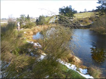
A pretty pond next to the car park

Path heading for the gate into the fields
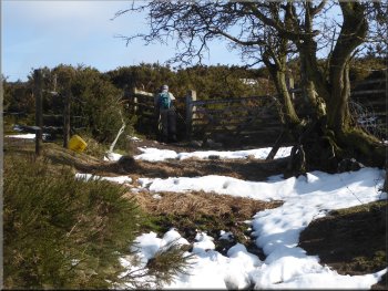
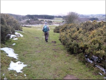
From the pond the path climbed up through some gorse scrub land to a kissing gate into a field. We continued along this path climbing up along the edge of the fields for about 350m to another kissing gate where the path veered to our left to a kissing gate on to a road at map ref. SO 361 976. Here we had joined the route of the Shropshire Way. |
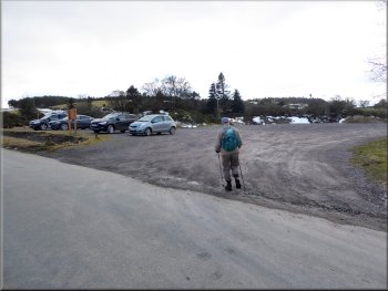
It was a fine sunny morning today as we drove from the pub in Picklescott along steep, narrow and very snowy lanes to the car park (map ref. SO 357 978) near The Bog Visitor Centre at The Stiperstones. From the car park we set off along a public footpath around the edge of a pretty pond just east of the car park.
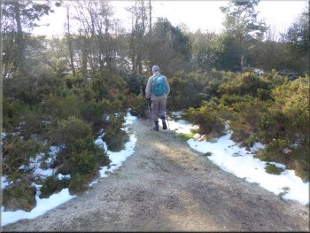
Path through the gorse heading for the fields
Walking across the fields to join the Shropshire Way
|
Gate on the Shropshire Way at the public road
|
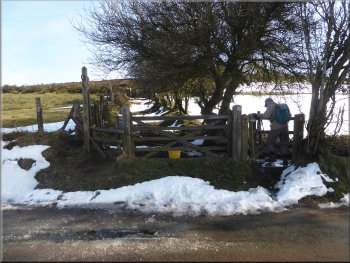
We crossed the road to this track opposite
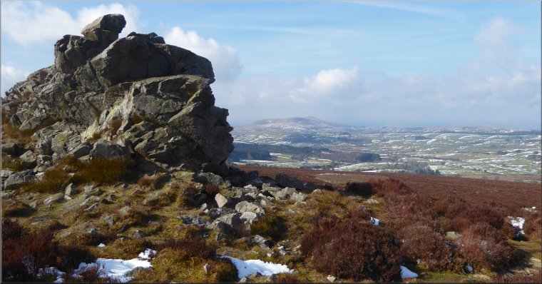
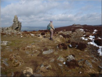
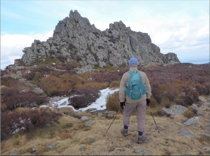
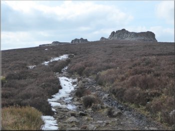
Climbing across the open moor to our first rocky outcrop
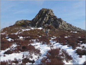
Nearing the Cranberry Rock
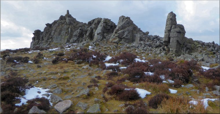
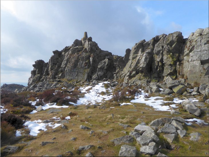
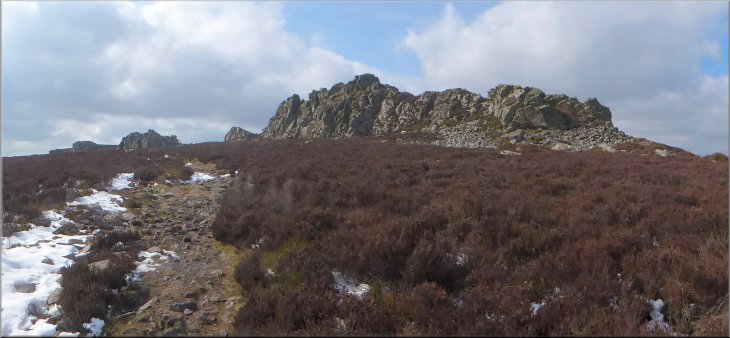
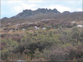
We paused at these rocks just to admire the lovely views all around us. There is a clear path along the ridge but it is very rough underfoot. The surface of the path is made of sharp angular pieces of rock with very little flat space to place a foot. It was necessary to watch the ground to walk safely and we had to stop every now & again to look at the lovely views and the amazing rocks of the Stiperstones all around us. |
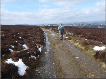
We crossed the road following the Shropshire Way and passed through the gate opposite to a muddy track heading up the hill side. We followed this fenced track for about 50m to a gate which took us out on to the open moor. We continued along the route of the Shropshire Way for about 450m to encounter our first rocky outcrop of the Stiperstones. On the OS Explorer map this one is simply marked as "Cairn" and about 150m further on the next large outcrop is called Cranberry Rock.
After about 50m we came to this gate into the gorse scrub
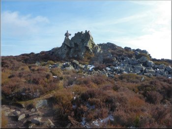
Jim on top of the first rocky outcrop
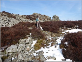
Climbing past the Cranberry Rock
|
The view looking south west from the northern end of the Cranberry Rock
|
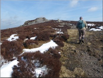
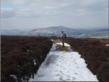
Climbing northwards along the ridge from the Cranberry Rock
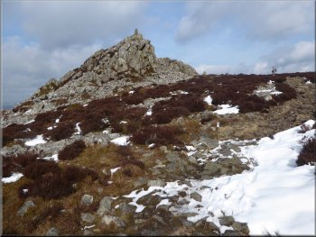
Approaching the Manstone Rock from the south
There is a trig point on top of the highest point of this outcrop. We thought about climbing up to the trig point but then we thought better of it. |
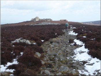
From the Cranberry Rock we continued along the rocky path of the Shropshire Way for another 600m to the Manstone Rock.
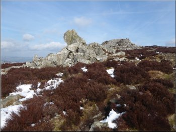
An unnamed outcrop along the way
Enjoying the view just north of the Manstone Rock
|
The Manstone Rock with its trig point on top
|
Continuing northwards from the Manstone Rock
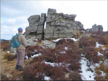
These outcrops with their bedding planes tilted to almost vertical, have interesting shapes, but I have to say that whoever named the rocks must have had a much more vivid imagination than I have. |
From the Manstone Rock we continued along the rough path past more rocky outcrops on the right of the path and on towards the outcrop called The Devil's Chair.
Another unnamed outcrop as we headed for the Devil's Chair
|
Having a good look at the Devil's Chair formation
Looking back to the Devil's Chair
|
Continuing northwards from the Devil's Chair
At this track the Shropshire Way turns right , but we turned left and walked south westwards along the track. |
From the Devil's Chair we walked another 500m along the Shropshire Way path to a moorland track at map ref. SO 371 995.
Looking back along the ridge past the Devil's Chair
|
Turning left off the Shropshire Way to follow a moorland track down to the south west
|
The moorland track heading south west
Looking up to the Devils Chair on our left
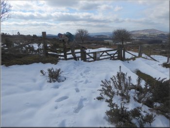
Another 100m further on we came to a junction in the moorland track and a gate straight ahead. At the junction we turned left and followed another moorland track heading roughly southwards around the edge of the open access land of the Stiperstones ridge. |
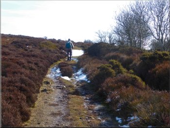
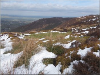
We had a glimpse of a narrow, deep, steep sided valley to our right as we walked along the moorland track. After about 900m along the track we passed a small service reservoir on the right of the track.
A glimpse of the steep little valley on our right
Continuing along the moorland track to the south west
|
Turning left at the junction in the moorland tracks just before the gate
|
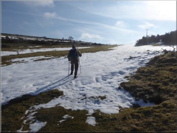
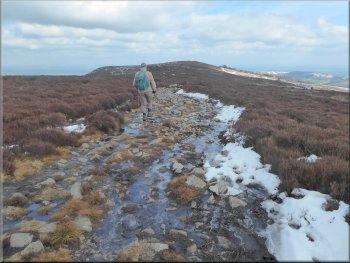
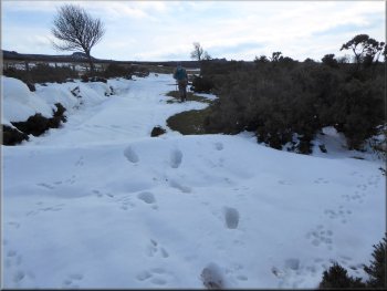
Snow lying on the track at the edge of the open access land
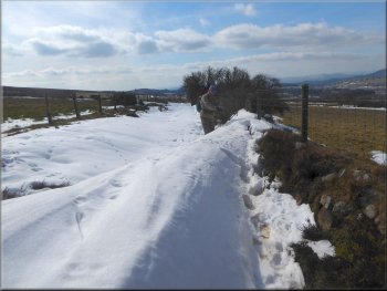
The snow was quite deep in places
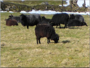
Flock of black sheep with horns but don't know the breed
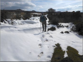
First a step up onto the snow, then transfer my weight to that foot, then the crust breaks & foot sinks deep into the drift. Then drag the other foot out of last hole and place it on top of the snow to start the cycle again. Oh for some snow shoes. We continued in this way with a few short breaks in the snow for about 1.2km. Then the track turned right and dropped down to the farm access road leading to Bog Hill Farm a few hundred metres away to our right.
|
After about 50m we encountered the start of some deep snow along the track. Clearly the snowfall had drifted in the strong winds and although there had been a thaw there remained drifts across the track up to about 75cm deep with a crust that gave way when there was about half my weight applied. This was a very tiring combination as we made our way through the drifts.
The snow was quite deep in places
The snow was quite deep in places
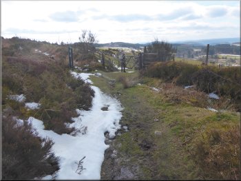
There were a few places where the thaw had cleared the track
|

The moorland track dropped down to join a farm access track from Bog Hill Farm away to our right
|
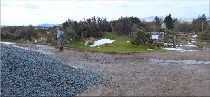
Where the farm access track met the public road . . .
Permissive path across the fields back to the car park
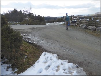
Returning to the car park at the end of our walk
We crossed the road to the car park and the end of our walk. The whole route had been about 6km and it had taken us almost three hours to walk including time to look at the magnificent scenery and clamber through the snow drifts, tiring but a lot of fun. We had a look at The Bog Hall Visitor Centre but it was closed until next week (It's Easter then) |
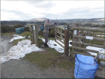
At the farm access road we turned left for a few metres up to a hair-pin bend in the public road at map ref. SO 358 980. Just as we reached the public road there was a sigh marking a permissive path on the right of the farm access road. We turned right off the farm access road and passed through the gate to follow the permissive path through some gorse, heading down the hillside and across the field to a field gate on to the public road opposite the car park entrance.
. . . we turned right onto a permissive path across the fields
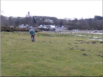
Permissive path across the fields back to the car park
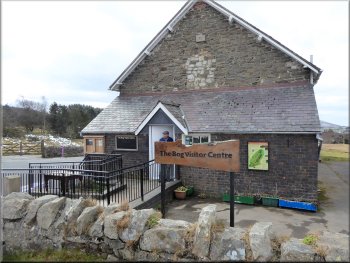
'The Bog' Visitor Centre - opens at Easter
|
Gate from the permissive path to the road opposite the car park at the end of our walk
|