|
2001 walks |
2002
walks |
2003 walks |
2004
walks |
|
2005 walks |
2006
walks |
2007 walks |
2008
walks |
|
2009 walks |
2010
walks |
2011 walks |
2012 walks |
|
2013 walks |
2014 walks |
2015 walks |
2016 walks |
|
2017 walks |
2018 walks |
2019 walks |
2020 walks |
|
2021 walks |
1993-2000 library |
Find a Route Index |
|
A few Routes to print out |
Request a Route... |
Route No. 746 - Wednesday 24 October 2018
Long Stay car park, Pasture Lane, Mount Crescent,
Middlecave Road, Maiden Grieve Balk,
Broughton Lane, Castle Howard Road,
York Road, Market Street circuit - 8km
Malton . . .
Route map from Ordnance Survey
Open Space service.
Map: OS Explorer 300 Howardian Hills & Malton
Note: My usual walking companion, Jim, is away on holiday with his wife for a couple of weeks, so his well known back showing the way is missing from today's photos
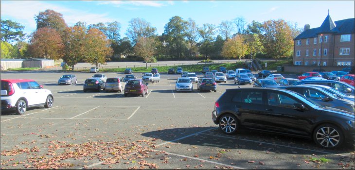
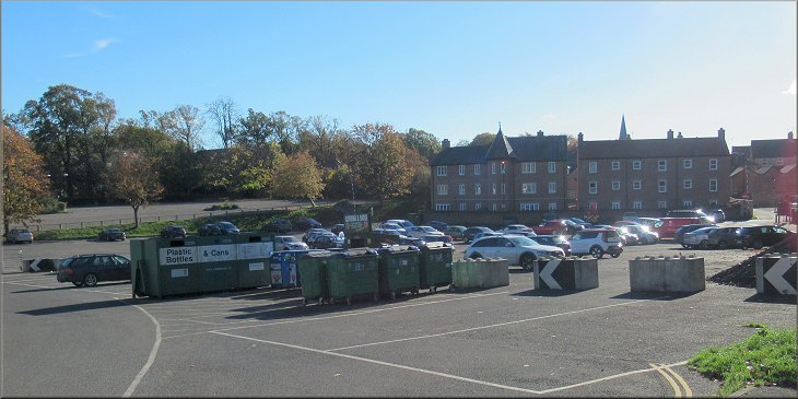
The long stay car park off Pasture Lane in Malton where I started this walk
|

|
|
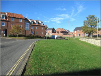
Leaving the car park along Smithson Court
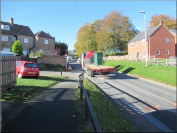
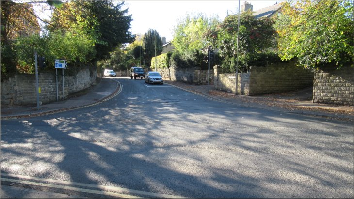
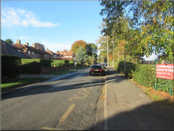
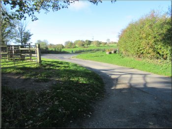
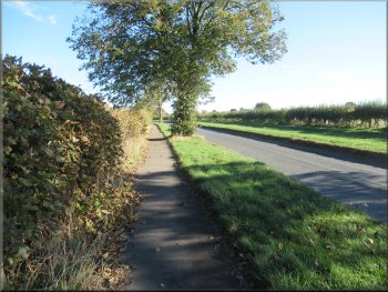
From the car park I walked back to Pasture Lane along Smithson Court and along Pasture Lane to the traffic lights at the junction with the B1257, called Newbiggin at this point. I crossed the B1257 at the traffic lights and walked along the road opposite called Mount Crescent. After about 100m, at the junction with The Mount and Middlecave Road, I turned right on to Middlecave Road heading in a westerly direction. |
Another perfect day for a walk today with bright sunshine and a light breeze. I travelled to Malton, a little market town on the River Derwent where the Howardian Hills northwest of the river meet the Yorkshire Wolds south east of the river. I started the walk from the long stay ('Pay & Display') car park at map ref. SE 786 720 off Pasture Lane.
Heading to the traffic lights along Pasture Lane
|
Crossing the B1257 at the traffic light to Mount Crescent
|
Middlecave Road heading from the junction with Mount Crescent
White house where the surfaced road ends
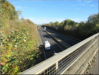
Steel footbridge over the Malton by-pass
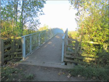
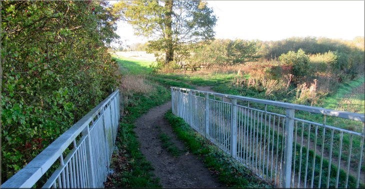
I soon came to the side of the Malton By-Pass, A64. The track turned left along the side of the by-pass for a few metres and then I turned right over a steel footbridge across the by-pass. Across the by-pass I turned left to walk down a ramp to the fields next to the by-pass. |
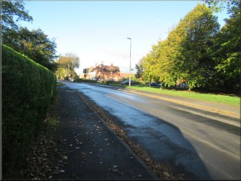
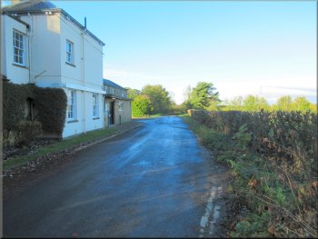
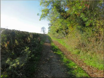
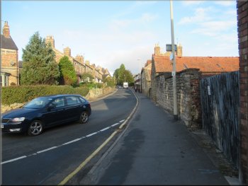
I followed Middlecave Road for about 850m past the entrance to the Malton Hospital on my left and past Malton School on my right and came to the end of the surfaced public road next to a white painted house on my left. Beyond this house I continued along an unsurfaced track between hedges.
Passing Malton School on Middlecave Road
Grassy track to the Malton by-pass
The Malton by-pass seen from the footbridge
|
Ramp from the footbridge down to the fields
|
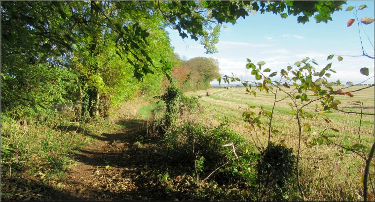
From the ramp I took the hedged path on the right
The little boy was having a great time collecting sticks and running in & out of the partially built den. Just then I realised that I had dropped my map so I turned around to go look for it. I found it after about 200m and resumed my walk. As I passed the den builder again the little boy asked if I had found my map and seem quite concerned about me. He was quickly reassured that I was OK by his dad.
|
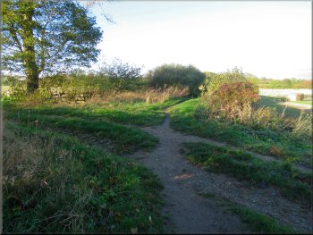
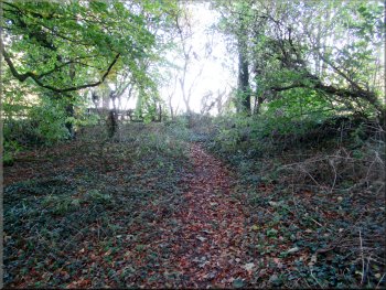
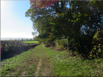
At the bottom of the ramp I turned right and followed a path between hedges. After almost 300m I came to a narrow strip of woodland and at the far side of the wood my path heading west crossed another path heading north/south. At this crossing I turned left to follow the path heading northwards. Just by my turning there was a young man with his small son building a den out of sticks propped against the tree.
Path between the hedges heading west from the by-pass
|
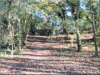
Path through the narrow woodland strip to the turning at the path by the kissing gate ahead
|
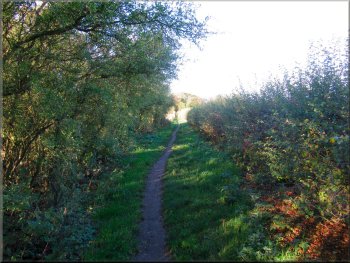
Maiden Grieve Balk path heading north from the kissing gate
Kissing gate at Broughton Road ahead
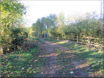
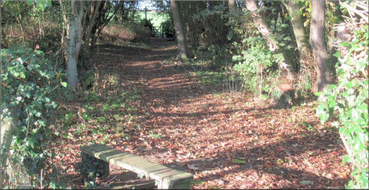
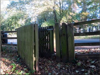
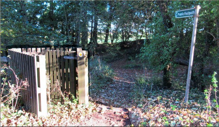
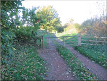
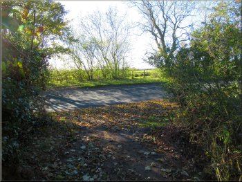
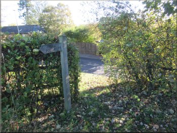
As I neared Broughton Road the woodland widened out and there was a small bank up to a kissing gate at the edge of the road. From this gate I crossed the road to a similar gate opposite into some more woodland. |
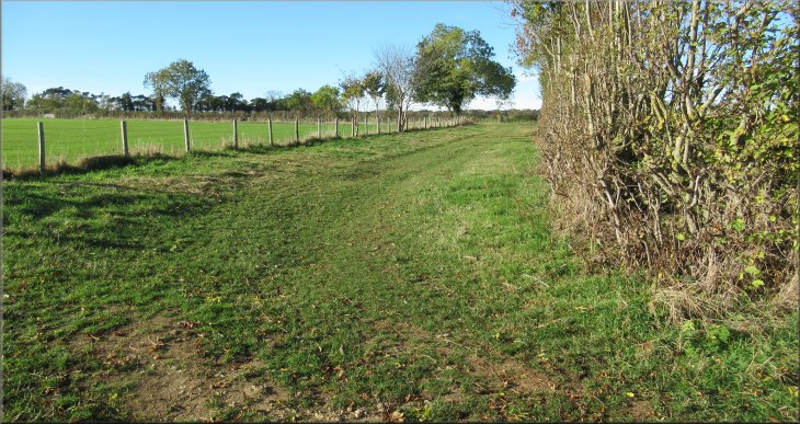
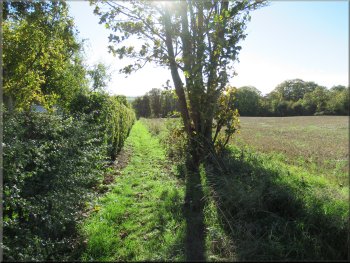
I continued northwards along the path towards Broughton Road, the B1257. The public footpath here is called Maiden Grieve Balk (see Broughton Parish web site).
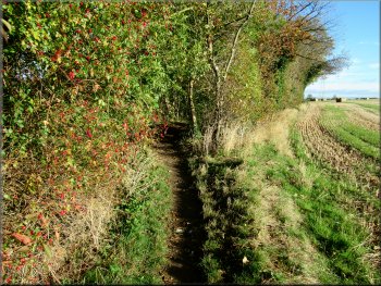
Maiden Grieve Balk path along the edge of the woodland strip
Kissing gate at the edge of Broughton Road
|
Kissing gate on the far side of Broughton Road, by-passed by the path!
|
Path through the wood to join Broughton Green Lane
Bridleway along Broughton Green Lane
Start of Broughton Lane on the far side of the B1257
I walked along Broughton Lane climbing gently up the hillside for about 1km from the B1257 to a bend in Broughton Lane to my right. Looking back northwards along Broughton Lane there was a fine view across the Vale of Pickering to the distant North York Moors. |
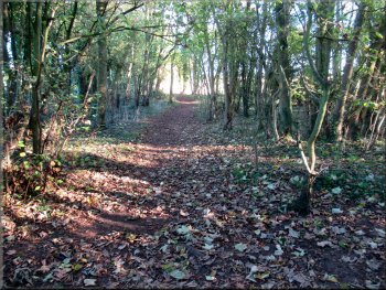
I followed a path across this woodland to join a bridleway called 'Broughton Green Lane'. I followed the bridleway for about 400m to Breedycroft Lane on the edge of Broughton village. Here I turned left and walked a few metres up to the B1257. I crossed this road to a farm track opposite called Broughton Lane.
Bridleway along Broughton Green Lane
Turning left from Broughton Green Lane on to Breedycroft Lane
Gentle climb up the hillside on Broughton Lane
|
About 1km from the B1257 I came to this right hand bend in Broughton Lane . . .
|
. . . then after another 75m there was a left turn

Continuing along Broughton Lane down to Castle Howard Rd
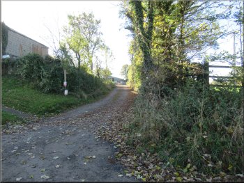
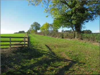
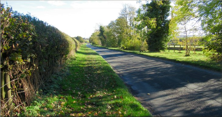
I continued beyond this path along Broughton Lane now heading gently downhill to the Castle Howard Road called Braygate Street where the Broughton Lane track meets the road. At the road I turned left and walked along the raised grass verge along the left hand side of the road. |
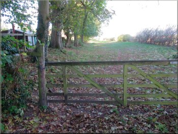
I continued round the right hand bend in the grassy lane and then, after about 75m, round a bend to my left still gently climbing to the top of the hill where there was a footpath off Broughton Lane to my right, leading to Close Farm.
Continuing along Broughton Lane down to Castle Howard Rd
Left turn on to Castle Howard Road
|
Walking along the wide, flat grass verge raised up next to Castle Howard Road
|
Reaching the road bridge over the Malton by-pass
Following Castle Howard Road to Malton
At the first houses on the right hand side of the road I turned right and crossed the road to a grassy track between the houses and a long strip of allotment gardens. |
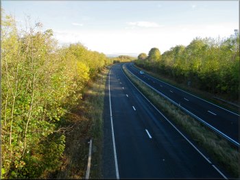
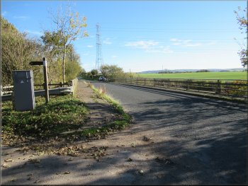
After about 400m I came to the road bridge over the Malton by-pass. I crossed the road bridge and continued along the Castle Howard Road for another 650m to the edge of Malton.
Malton by-pass seen from the road bridge
Boundary marker at the edge of Malton
|
I turned right off the Castle Howard Road on to this track between the first house and the allotment gardens
|
Track to York Road next to the strip of allotment gardens
Joining York Road from the corner of the field

Junction of York Road with Castle Howard Road
At York Road I turned left and walked along the footway next to the road. I continued along York road into Malton for about 700m to a turning on my left into Market Place. |
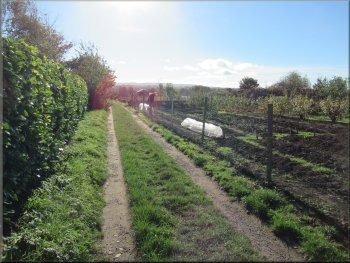
I continued past the allotments along the edge of a field for about 500m from Castle Howard Road to York Road, B1248.
Track to York Road along the edge of a field

Footway next to York Road heading into Malton
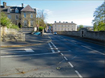
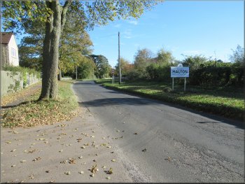
Beyond this junction the B1248 is called Yorkersgate
|
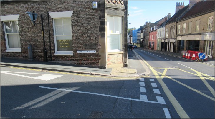
My turning off Yorkersgate on to Market Street
|
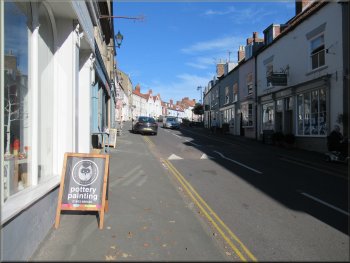
Market Street leading up to the market place
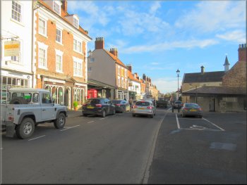
The Market Place in Malton
Crossing the junction into Spital Street

Following Middlecave Road to Mount Crescent
I walked along Middlecave Road and into Mount Crescent to the traffic lights on the B1257. I crossed the road here and retraced my outward route back to the long stay car park and the end of my walk for today. The whole route had been just over 8km and it had taken me about two and a half hours for a gentle stroll in the sunshine through this pretty countryside.
|
I walked along Market Place past the church and the shoppers' car park (2 hours free parking but no return within a further 2 hours). There are several cafes in the market place where I could have stopped for refreshments near the end of the walk. Just beyond the church I turned left and continued across Spital Street and joined Middlecave Road.
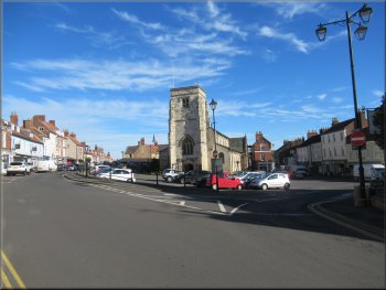
St Michael‘s Church in the Market Place at Malton
Turning left out of the market place
Joining Middlecave Road from Spital Street
Mount Crescent approaching the traffic lights
|
Back at the long stay car park at the end of the walk
|