|
2001 walks |
2002
walks |
2003 walks |
2004
walks |
|
2005 walks |
2006
walks |
2007 walks |
2008
walks |
|
2009 walks |
2010
walks |
2011 walks |
2012 walks |
|
2013 walks |
2014 walks |
2015 walks |
2016 walks |
|
2017 walks |
2018 walks |
2019 walks |
2020 walks |
|
2021 walks |
1993-2000 library |
Find a Route Index |
|
A few Routes to print out |
Request a Route... |
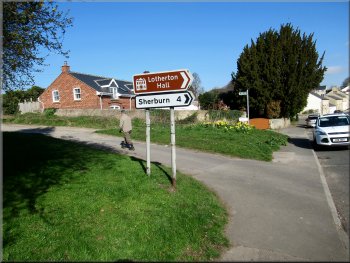
Route No. 768 - Thursday 28 March 2019
Aberford, Nellie's Tree, Parlington Hollins,
M1 underpasses, Long Lane, Parlington Lane
8km circuit - Aberford, Leeds . . .
Route map from Ordnance Survey
Open Space service.
Map: OS Explorer 289 Leeds
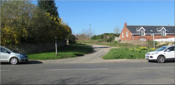
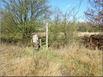
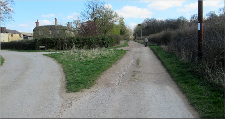
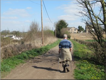
Start of our walk at the junction of Main Street and Parlington Lane Aberford
|

|
|
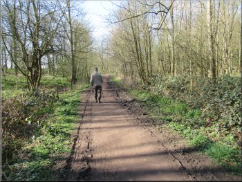
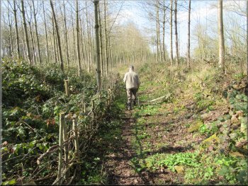
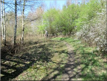
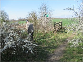
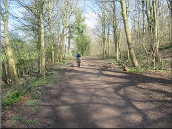
Setting off along Parlington Lane from Main Street
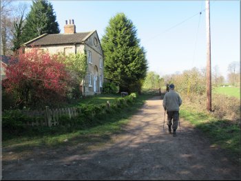
Leaving Aberford along Parlington Lane

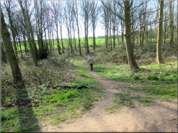
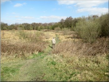
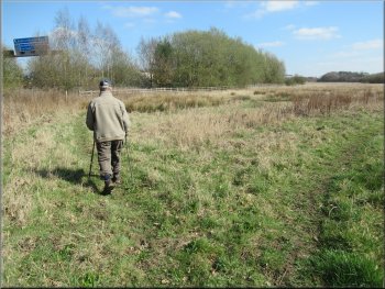
Looking across the fields to the right of Parlington Lane . . .
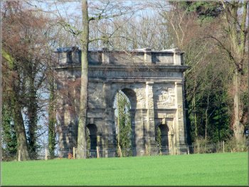
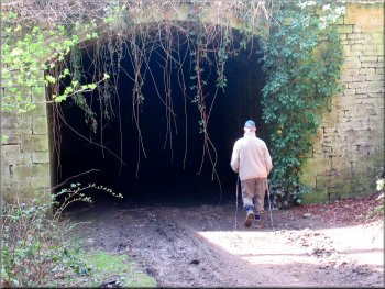
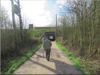
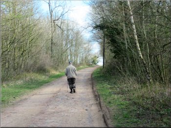
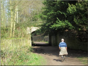
We continued out of the village along the broad track with a wooded bank to our left and pasture land up the hillside to our right. We passed a public footpath joining the track from our right and on the ridge to our right there was a large ornamental archway. This is the Parlington Triumphal Arch that commemorates the American victory over the British in the war of independence! A little further on the track passed between high stone walls leading to a short tunnel built in the 1800's to keep the traffic of pedestrians and horse drawn vehicles along Parlington Lane out of sight of the residents of Parlington Hall. |
Another glorious bright spring day today, perfect for a walk. My friend, Jim, and I drove to Aberford next to the A1/M1 on the eastern edge of Leeds. We parked on the roadside on the Main Street near the southern end of the village. Near our parking spot we turned off the Main Street at map ref. SE 433 369 on to a public bridleway along a track called Parlington Lane, heading southwest out of the village. As we climbed the slope away from Main Street we passed several large houses and at the driveway to one of them there was a female mannequin dressed in a long red dress and wearing a large brimmed hat. I assumed it was an entry in the village scarecrow competition but she was too elegant to be called a scarecrow.
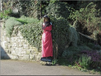
Part of a scarecrow competition?
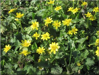
Part of as large clump of celandines by the track
. . . up to the triumphal arch at the top of the field
|
Tunnel taking Parlington Lane under the gardens keeping the traffic out of sight
|
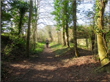
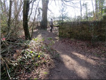
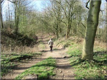
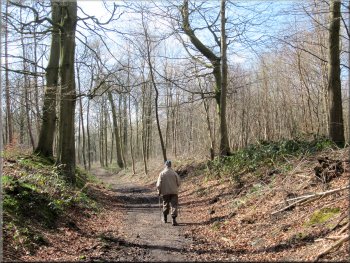
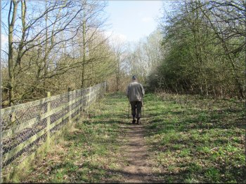
Continuing along the lane from the tunnel
Investigating the second tunnel
The by-pass path around the second tunnel
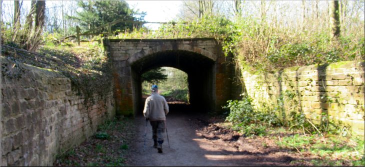
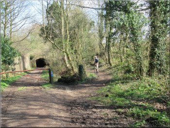
From Nellie's Tree we continued along the track to a second, longer tunnel. I think we would have needed a good torch to go through it safely and off the track to the left there is a well walked bypass. The bypass path rejoined the track just beyond the tunnel and by the track there was a stone plaque built into a wall. The inscription written in 1656 is to a faithful dog called 'Downey'. |
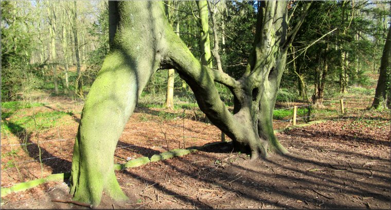
We walked through the short tunnel and continued along the track still following the route of the public bridleway. Less than 200m from the tunnel we came to 'Nellie's Tree' on the right hand side of the track. Nellie's Tree was voted England's Tree of the Year for 2018 in a competition run by the Woodland Trust.
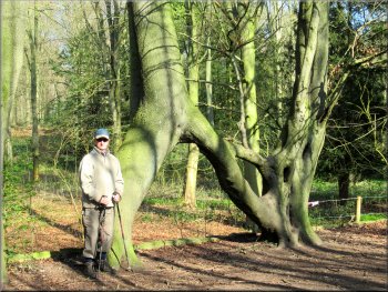
Nellie's Tree beside Parlington Lane
Following the by-pass path around the tunnel
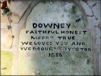
Memorial plaque to Downey the dog
|
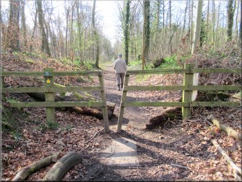
Passing the gamekeepers Cottage just before we turned left off the lane
|
Leaving the lane for the path around the fishing lake
Path by the boundary fence around the fishing lake
Path through Parlington Hollins to Lily Pit Cottage
Path through Parlington Hollins to Lily Pit Cottage
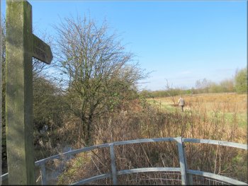
Just beyond the gamekeepers Cottage there is a path off Parlington Lane to the left through a small gate and alongside the fishing lake boundary fence. At the end of the fishing lake there was a wider dryer path coming down from Parlington Lane and our path joined that path. We walked along the path through the woodland called Parlington Hollins as it bent round to our left and headed in a straight line almost due south to Lily Pit Cottage. |
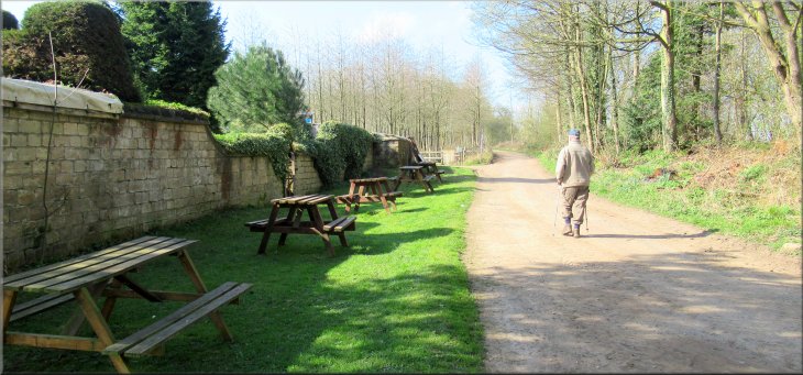
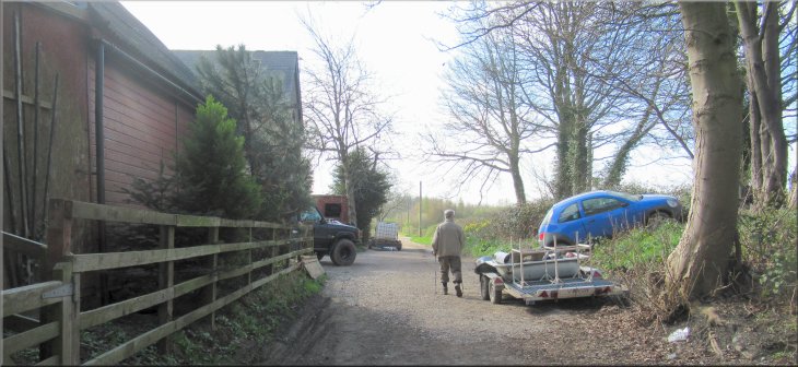
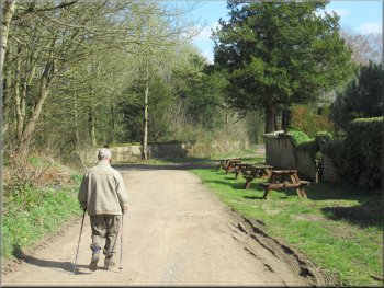
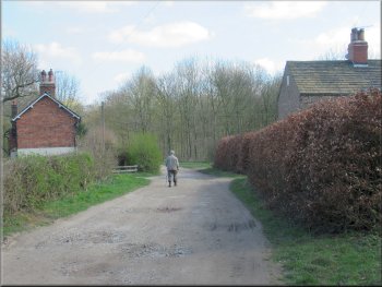
We continued along Parlington Lane to the Gamekeepers Cottage where there was a series of picnic tables on the grass in front of the cottage. There were no signs so I do not know if it is sometimes open as a cafe? Maybe it is a facility for the anglers on the fishing lake next to the cottage.
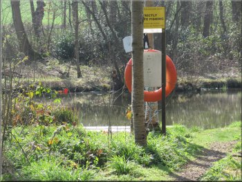
A glimpse of the fishing lake
Joining a wider path from Parlington Lane
Path through Parlington Hollins to Lily Pit Cottage
Lily Pit Cottage and the M1 motorway ahead
|
Passing Lily Pit Cottage and heading for the M1 motorway underpass
|
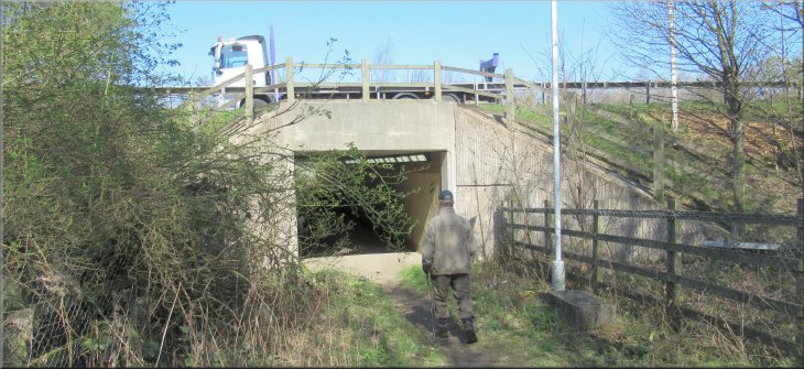
The M1 motorway underpass
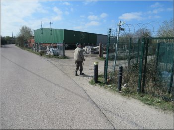
Joining the access road through the industrial estate
Path to the right around a builders compound
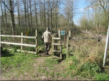
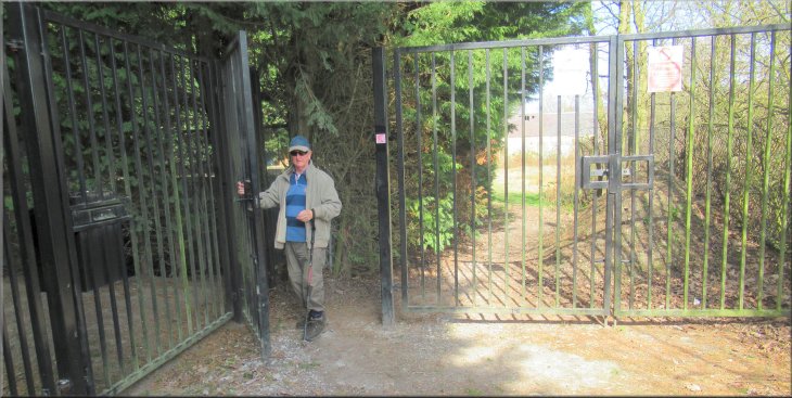
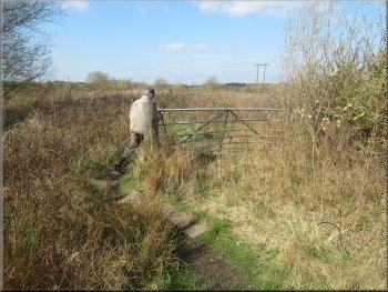
We took this right turn and followed the public footpath around the boundary fence of an industrial/building supplies site. After about 50m the track forked and we took the right hand fork continuing around the boundary fence of the same site. There were tall leylandii type trees on the left of the path and the boundary fence on the right. After about 200m from the fork in the track we came to a very solid black painted tall steel gate across the track. The tall leylandii trees made it a dark corner but there was a narrow pedestrian gate at the side of the main gate and we passed through the gate into some scrubland with a couple of derelict buildings. |
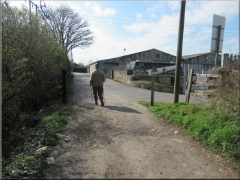
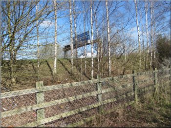
Beyond Lily Pit Cottage we could see the M1 motorway. We followed the track through an underpass to the far side of the motorway, and continued along the track with Hawk's Nest Wood on our right. There were numerous BMX style cycle tracks through the wood. After the wood we came to an industrial estate on the edge of Garforth where the public footpath continued along an access road through the estate. About 200m into the industrial estate there was a sign post indicating a public footpath turning right off the access road.
Passing Hawks Nest Wood south of the M1
Turning right off the access road
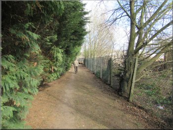
Path between the leylandii and the fence of the compound
|
Gateway from the track into a rough field
|
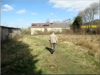
Path across a rough field with two derelict buildings
Making our way across the scrubland
Across the footbridge we turned left
The M1 seen from the path at the foot of the embankment
The last 150m to the footbridge were a bit awkward through coarse grass and brambles. We crossed the footbridge and turned left along a path at the edge of the field for about 100m, then we turned right to a sign post at the foot of the M1 embankment. From there we walked along a path at the foot of the M1 embankment for a little over 100m to another underpass on our left where we crossed to the north side of the motorway. |
We passed these derelict buildings and came to a field gate out to a wide area of rough scrubland along side the M1 motorway that was about 500m away to the north. There were numerous worn paths criss-crossing this area. From the field gate we made our way across this area using whatever paths seemed to go the right way heading northwest for about 500m to a footbridge over a small stream at map ref. SE 083 436.
Gate out of the field into an area of scrubland
Footbridge over a small stream at map ref. SE 083 436
We came along the path on the right of the photo and turned right heading to the M1 embankment
Path along the foot of the M1 embankment
|
About to cross back under the M1 motorway
|
On the N side of the M1 the path turned left
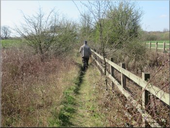
We continued next to the M1 for about 150m and . . .
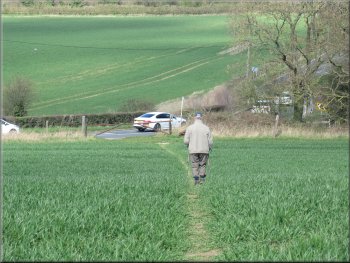
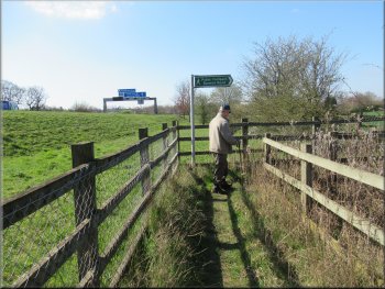
Nearing Long Lane on the path across the field
Turning right off Long Lane towards Throstlenest Farm
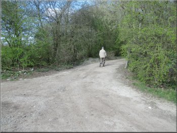
We walked northwards along Long Lane for about 350m to a surfaced farm access road on our right. We turned right here and walked along the access road for about 620m to a fork in the road. The left hand fork continued into Throstlenest Farm and we took the right hand fork along the unsurfaced track called Parlington Lane.
|
On the north side of the motorway we turned left and followed the path alongside the motorway for another 100m. Here we turned right and followed a well worn path across a large field to a bend in a minor road called Long Lane, at map ref. SE 050 484.
We followed the path alongside the motorway
. . . then we turned right across the field on a well walked path
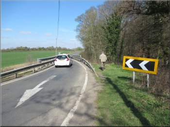
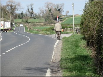
Following Long Lane northwards
The access road to Throstlenest Farm
|
Left hand fork to Throstlenest Farm and our route along the unsurfaced track called Parlington Lane straight on
|
Following Parlington Lane towards The Staith Cottage
Returning on Parlington Lane past the Gamekeepers Cottage
Passing Nellie's Tree on the way back
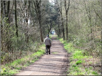
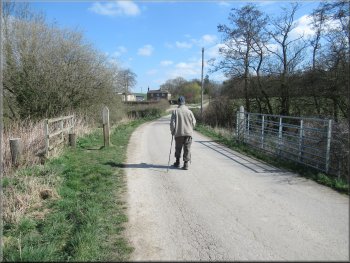
Parlington Lane heading for Aberford
We passed Nellie's Tree again and continued back to our parking spot in the Main Street in Aberford and the end of our walk. The whole route had been about 8km and it had taken me almost 3 hours to walk. Over all it was an interesting and very pleasant route with a bit of rough ground and messy navigation across the scrubland by the M1 motorway. |
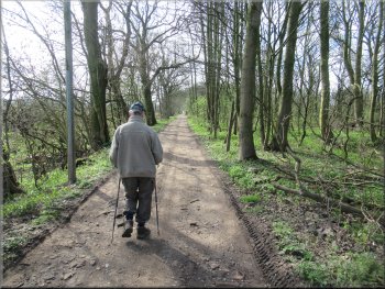
We walked along Parlington Lane at the edge of the woodland past The Staith Cottage to the fishing lake and the Gamekeepers Cottage where we had left Parlington Lane on the outward leg of our walk. From the Gamekeepers Cottage we retraced our outward route along Parlington Lane.
Passing The Staith Cottage along Parlington Lane
By-passing the tunnel on Parlington Lane
Passing under the bridge heading for Aberford
Parlington Lane on the edge of Aberford
|
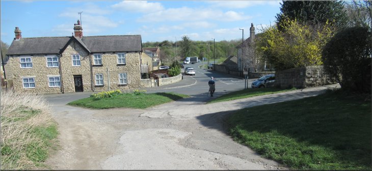
Returning to our parking spot on the Main Street in Aberford at the end of our walk
|